Dénia Map: Old Town, Castle and Waterfront Layout for Visitors
A visitor's map guide to Dénia: the castle above the old town, the Baix la Mar quarter, Marqués de Campo and the port, and how the main sights link on foot.
On this page
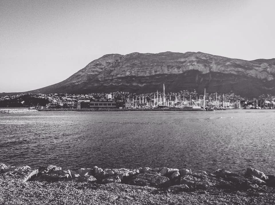
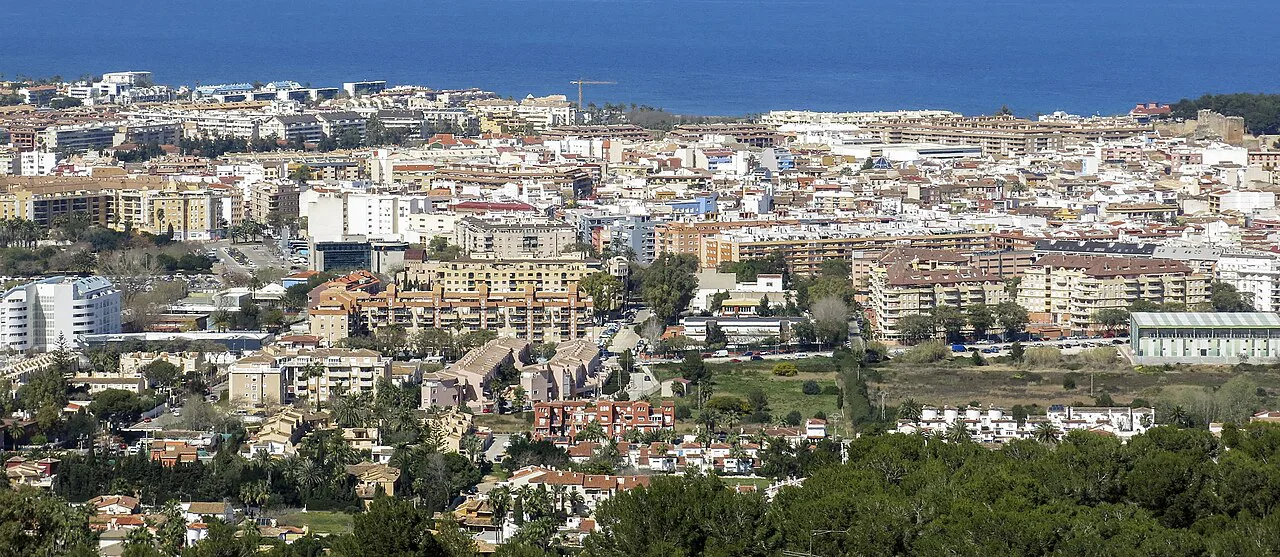
Dénia reads as three layers on a map: the Castell de Dénia on its hill, the old town and the Baix la Mar quarter below it, and a flat spine running down to the port and marina. Almost everything in the centre fits into one half-day loop on foot, while Les Rotes and the Montgó sit outside the town plan and need their own trip. This guide lays the main sights out by area and by walking cluster, so you can see what joins up before you book. It is part of a wider set of things to do in Dénia.
What a Dénia map shows at a glance
Zoom out and the shape is simple. The castle and the old town sit slightly inland, the fishing port and the marina lie to the east, and the long seafront runs south towards Les Rotes. The historic centre clusters at the foot of the hill, so the climb to the castle starts a few minutes from the shopping streets below it.
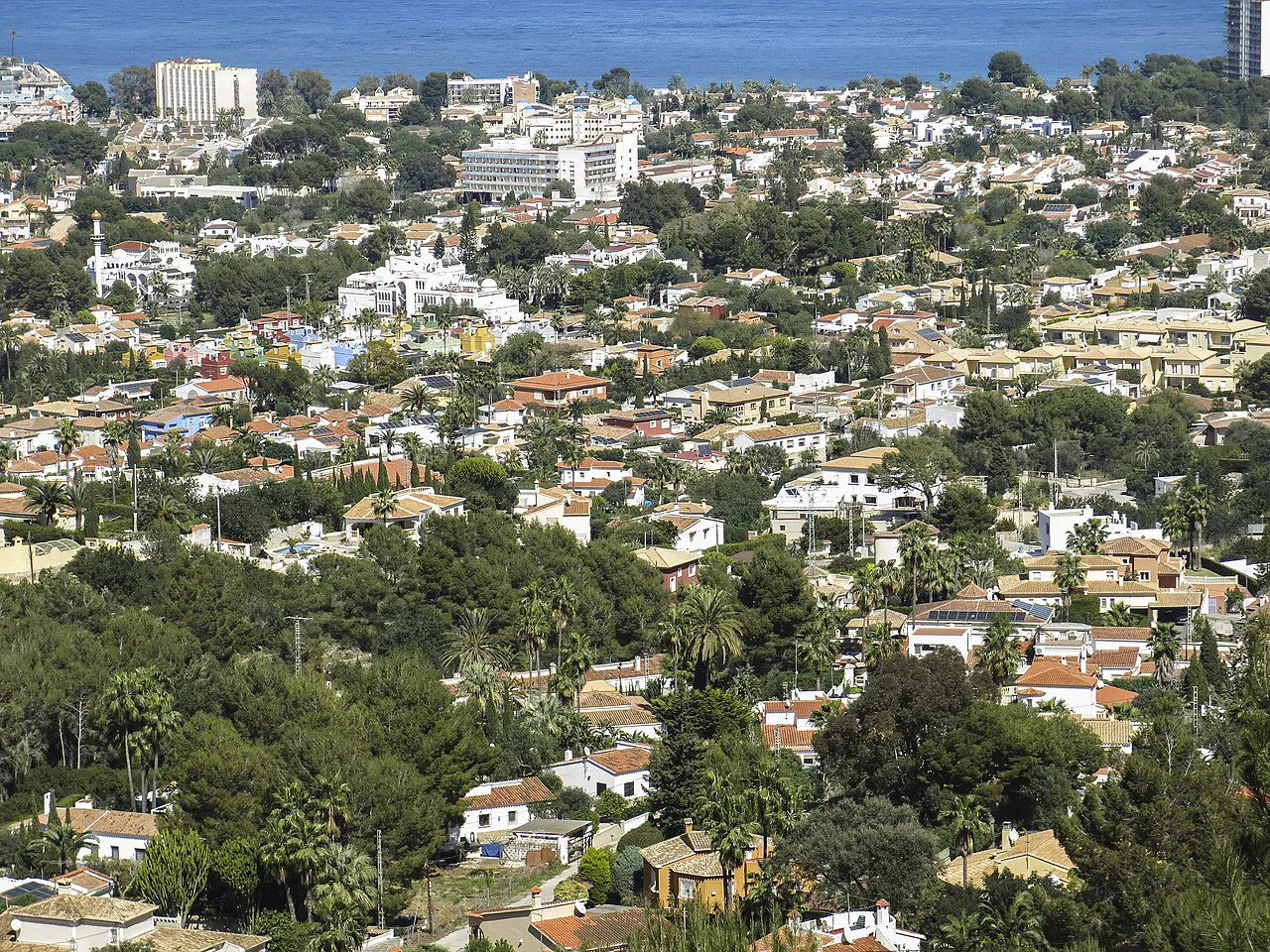
Dénia is the capital of La Marina Alta in the province of Alicante, a working town of more than 40,000 residents that swells enormously in summer. That matters for the map: the streets that are calm in spring carry heavy foot traffic in August, so an early start on the castle hill pays off. Treat the harbour end as a separate cluster from the old town rather than one continuous walk.
The castle and the old town: climbing from the casco antiguo
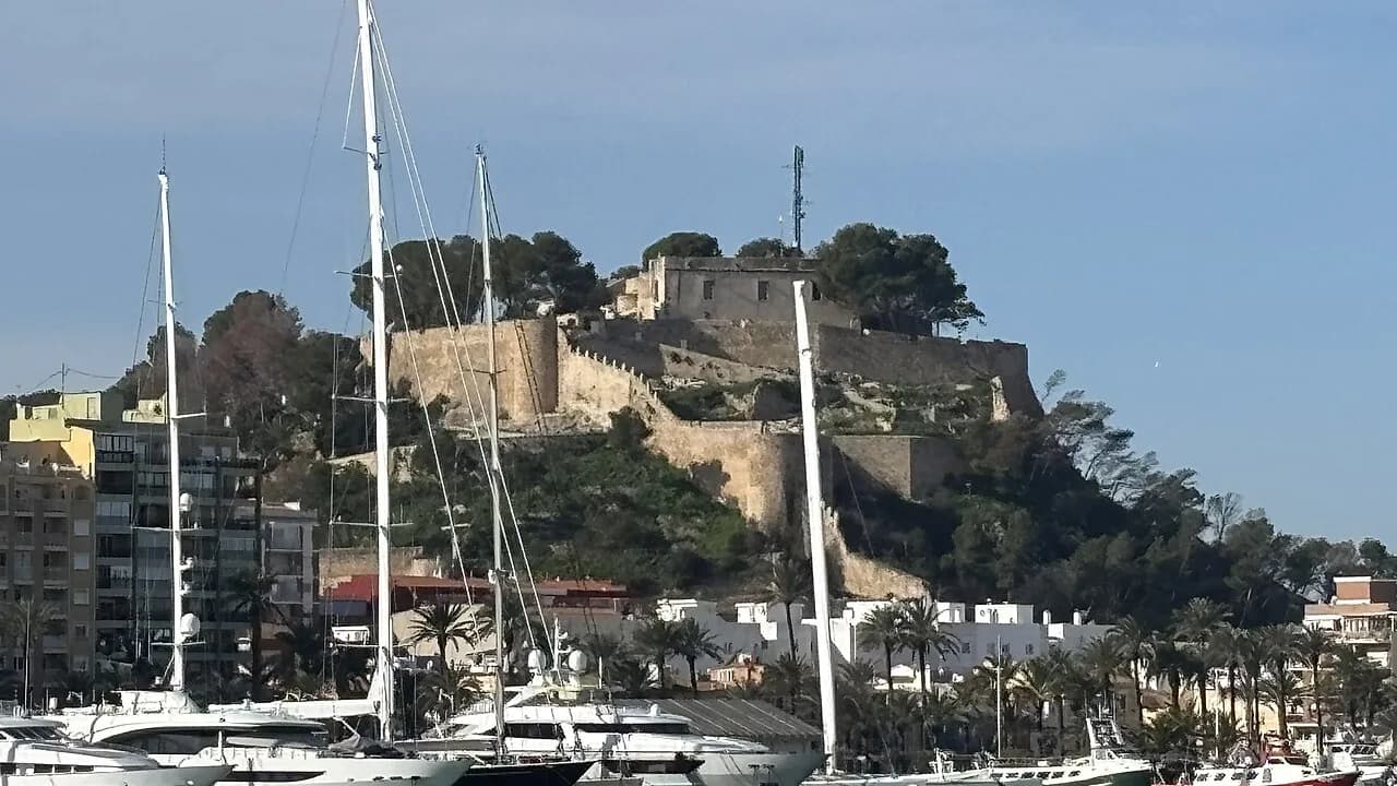
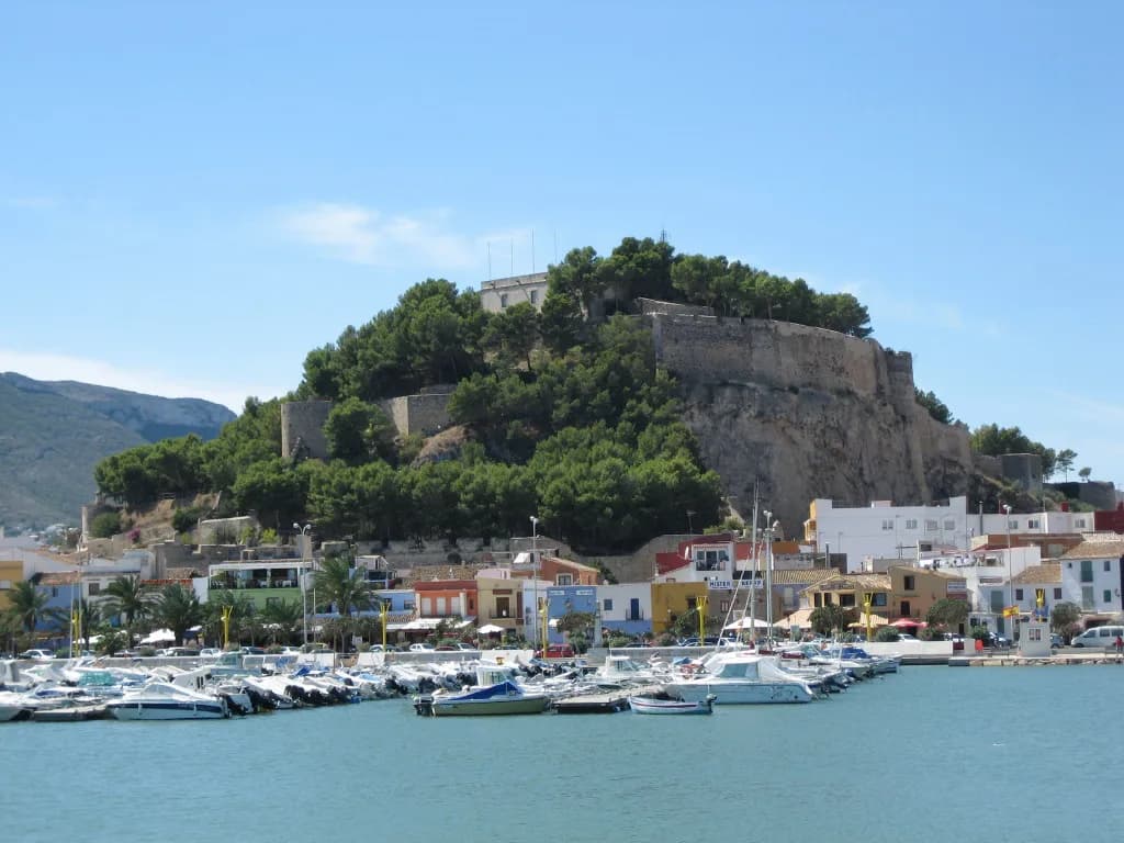
The Castell de Dénia dominates the main panorama, and the route up runs through the old town's narrow streets and coloured houses before you reach the towers, walls and small archaeological museum inside the enclosure. Build the climb in as the first or last move of the day: it is uphill, it is exposed, and the reward is the view over the town and the Mediterranean rather than the walls alone.
History sits under the walls. Dénia was one of the taifa kingdoms during Muslim rule, and the fortress is listed as a Monumento de Interés Cultural, inhabited since Roman times though built by the Arabs. The casco antiguo below preserves buildings from the sixteenth and seventeenth centuries. Plan the old town and the castle as one block, because the streets between them are the connective tissue rather than a separate sight.
Check the castle's ticket desk and opening hours for the day you plan to climb, since these change with the season and with religious and civic calendars. The Dénia castle page on this site sets out the layout and the practical detail for the visit.
Baix la Mar: the old fishermen's quarter
North-east of the castle hill and between the old town and the port, Baix la Mar is the former fishermen's quarter and the clearest piece of maritime heritage on the town map. Its squares, Plaça de la Creu and Plaça de Sant Antoni, carry terraces and low coloured houses, and every street runs towards the water. Walk it slowly rather than as a through-route, because the appeal is the street pattern itself.
On a map, Baix la Mar sits between the castle foot and the port, which makes it the natural link in a loop: castle, old town, fishermen's quarter, harbour. That order keeps the uphill work at the start and leaves the flat waterfront for when the day warms up.
Carrer del Marqués de Campo and the port
Carrer del Marqués de Campo is the main commercial street and turns pedestrian in summer under the weight of strollers heading for the shops and the harbour. It is the flat, straight line on the map that ties the centre to the port, which makes it your reference point when you lose your bearings in the old town lanes. The shopping guide covers what lines it.
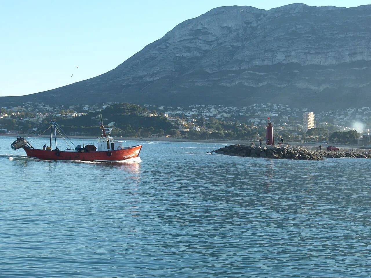
At the eastern end, the fishing port holds the Lonja, where the day's gamba Roja, octopus and squid are sold, and guided visits of around forty minutes explain the trade. The marina next door is where the town's boat trips leave from, so the harbour end of the map is a booking point as well as a viewpoint.
The waterfront and Les Rotes: a line, not a dot
South of the centre, the seafront runs past the marina and the Marineta Cassiana towards Les Rotes, the rocky stretch of coves that reads as a long line on the map rather than a single pin. The Torre del Gerro stands at the end of a five-kilometre walk along the Les Rotes promenade at Cabo San Antonio, a sixteenth-century watchtower 13.5 metres tall built into the coastal defences against pirate raids. Treat the walk as a there-and-back outing with a fixed turn-around point.
Beyond the tower, the Cova Tallada lies within the Parc Natural del Montgó about six kilometres from the town centre and close to Les Rotes. Access is on foot or by kayak and requires booking in advance because visitor numbers are capped, so it belongs on a separate day rather than squeezed into a castle morning.
Where the Montgó and Cova de l'Aigua sit on the map
The Parc Natural del Montgó is the big green mass behind the town, and the marked routes from Dénia are numbered on the park's own path map. The Cova de l'Aigua is not a sea cave: it is an excavation in the mountain near the Ermita del Pare Pere, reached on a route of about two hours with a view down to the Mediterranean at the end. Plot it as a half-day hill outing, not a stroll from the old town.
The park map also matters for fire risk: the routes carry risk signage that changes with conditions, so read the board at the trailhead before committing to a longer path. Walking shoes and water are the practical baseline for anything on the Montgó, and the mountain should be planned around the heat rather than in the middle of an inland summer afternoon.
Laying the map against a short break
For a two-night visit, cluster the flat work first: Marqués de Campo, the port, the Lonja and the marina sit in one straight line and can be done in an afternoon. Reserve a morning for the castle and the old town together, then add Baix la Mar on the way down. That leaves Les Rotes or the Montgó as the second full block, and only one of them will fit comfortably.
The trade-off is distance. Les Rotes and the Cova Tallada pull you south along the coast, while the Montgó and the Cova de l'Aigua pull you inland and uphill; trying to do both in a short break means a lot of moving and very little looking. Pick the coast if you want the Torre del Gerro and the water, and the mountain if you want the park paths and the cave.
If you are heading out on the water, the boat trip options from the marina belong in the harbour cluster rather than a separate day, since they leave from the same stretch of waterfront. Book before you walk the seafront so the departure time shapes the rest of the day.
Which cluster goes on your Dénia map first
Start with the castle and the old town in the morning, when the climb is gentler and the streets below are quieter, then drop through Baix la Mar to Carrer del Marqués de Campo and finish flat along the port and marina. That single loop covers the core of the town on foot without doubling back.
Leave Les Rotes and the Montgó for a second block, and choose between them rather than trying to fold both into a short break. Confirm opening hours and any booking requirement for the day you plan to visit before you set out.
Sources
Notes for your next Spanish town break
Optional updates to our guides.
You might also like
Continue reading
More guides you'll find useful