Puerto de la Cruz Map: Old Town, Plazas and the Port
A practical Puerto de la Cruz map guide: where the old town, Plaza del Charco, the port and La Ranilla sit, how they connect on foot and how to read the town.
On this page
A Puerto de la Cruz map is simple to read once you see the town as a compact historic centre on Tenerife's north coast, with the old town set slightly inland and the port and promenade running along the shore to the north. Almost everything a short-break visitor wants sits within a few connected zones, so you can plan by area rather than by individual sight. This guide maps those zones, the walking order between them and the approaches from the island's transport hubs.
The centre pivots on Plaza del Charco, with the streets beside it leading to Plaza de la Iglesia, while La Ranilla and its painted walls stretch east and Taoro Park occupies the slope above. For the individual sights inside those zones, see the companion guide to things to do in Puerto de la Cruz, which fills in the monuments and museums.
What the map shows at a glance
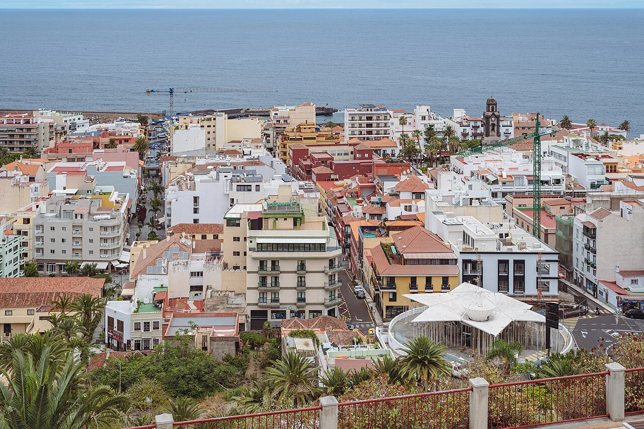
Four zones cover the visitable town: the old town core, the port and promenade edge, La Ranilla to the east, and Taoro Park on the rising ground above the centre. The historic centre sits back from the water, so the map reads as an inland cluster of streets with a separate seafront band below and to the north. Treat those two bands as your main planning unit, then attach La Ranilla and Taoro as add-ons.
A historical map layer for Puerto de la Cruz offers a different, older reading of the same streets and is useful if you like comparing past and present layouts before you walk them. It is an archival curiosity rather than a navigation tool, so use it for context and rely on the named squares to steer yourself.
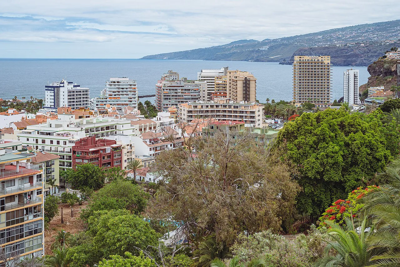
This is a town for walking, not for covering distance: the interest is concentrated in the squares and the lanes between them. The trade-off is that the map's short distances understate the effort, because much of the centre is built on a slope. Plan fewer crossings of the town than the map suggests and linger within each zone.
The old town core around Plaza del Charco
Plaza del Charco is the natural centre of the old town and the best place to fix yourself on the map, with the streets around it linking through to Plaza de la Iglesia. Those two squares anchor the historic core, and most of the lanes worth wandering sit between and beside them. Start here, orient yourself at the square, then work outward rather than crisscrossing the town.
The old town's streets carry the town's history as a former fishing village beneath the modern resort surface, which is why the centre rewards slow wandering more than a checklist of sights. The Puerto de la Cruz old town guide covers the buildings and details inside this zone in depth, leaving this map to the question of where things sit. Give the core the largest share of a short break and treat the rest as extensions of it.
The port, the promenade and the edge of town
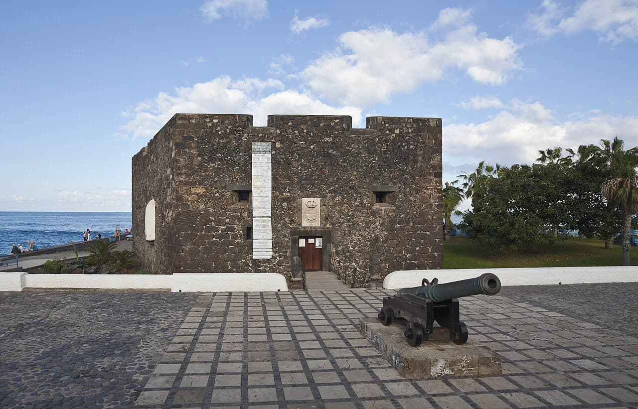
Below the centre, the port and the promenade form the town's marine edge, reachable from the old town by walking downhill towards the water. The port retains its working identity alongside the waterfront, and the promenade gives you a long, level line to follow once you are down there. Pair the two in one leg of your day so you do not climb back up twice.
Because the promenade is level and the old town is not, the sensible order is downhill first and uphill later, when you can finish at a square rather than on a slope. The waterfront also gives the clearest sense of the town's shape, with the historic centre rising behind it. A Puerto de la Cruz boat trip is the one waterfront activity that takes you off the map entirely, so book it around your walking rather than in the middle of it.
La Ranilla and the urban art streets
To the east of the centre, La Ranilla is a distinct quarter whose painted walls and street art give it a character apart from the historic core. It is close enough to fold into a walk from Plaza del Charco, but it is a neighbourhood to wander rather than a sight to check off. Approach it after the old town, when you have the square fixed in your head as a reference point.
The draw here is the streets themselves, so keep the map loose and let the lanes pull you along. If you want to combine the walk with browsing, shopping in Puerto de la Cruz fits naturally into a La Ranilla circuit, with the Calle Quintana area as the other obvious focus for shops.
Taoro Park on the slope above the centre
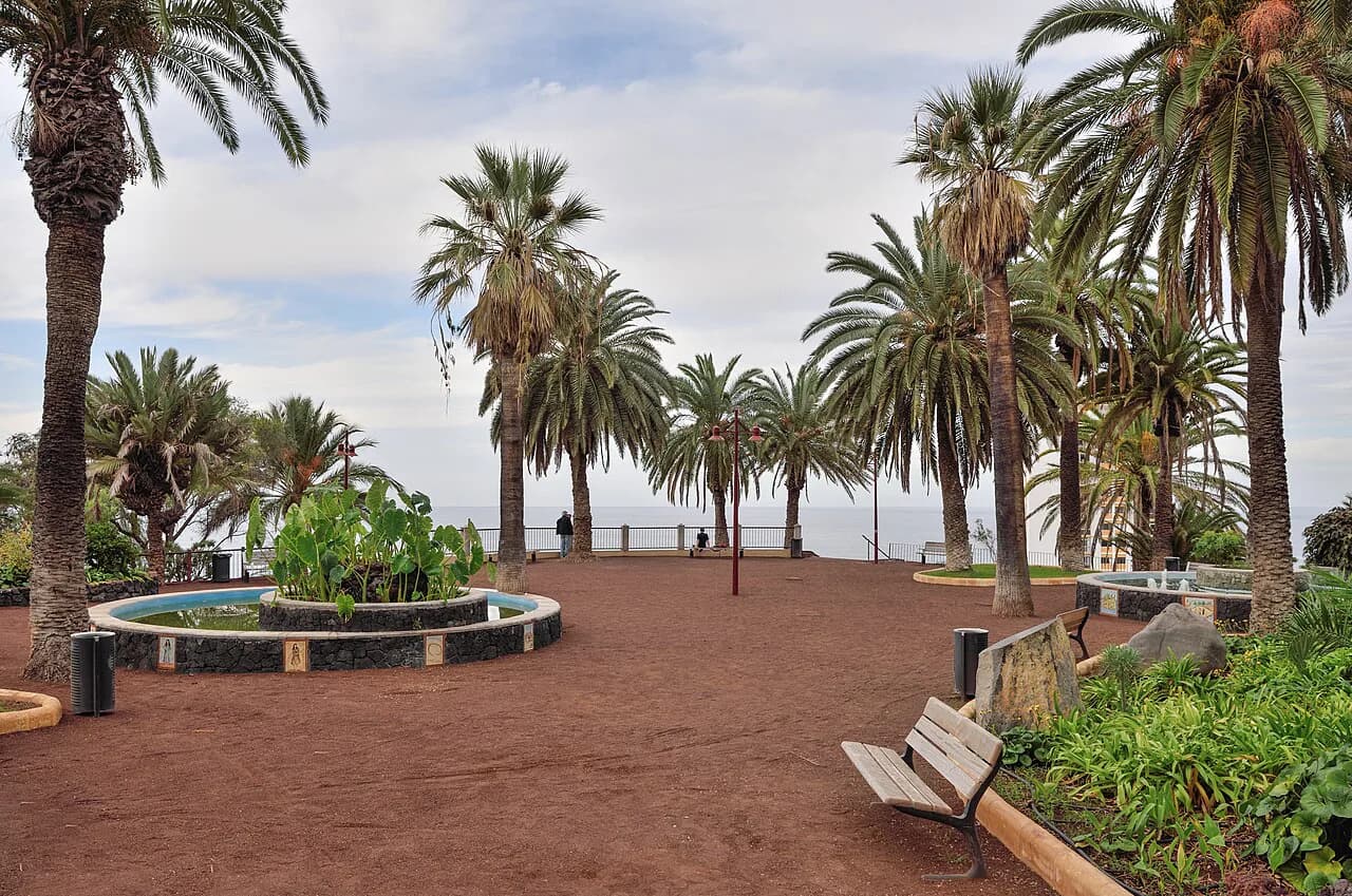
Taoro Park sits above the centre on the rising ground, which makes it the natural high point of a walking loop rather than a separate excursion. Its position on the slope is precisely why the map is deceptive: a short line on paper becomes a climb in practice. Visit it either early or at the end of the day, when the ascent costs you less of your energy.
From the park the town falls away towards the old town and the water, giving you the clearest mental picture of how the four zones relate. Use that view to plan the rest of your time rather than as a destination in itself. Then descend into the centre and stay there, because the walking between the zones is the real cost of a short break.
Walking the map: where the slope bites
The centre, the port and promenade, La Ranilla and Taoro Park all connect on foot, but the height difference between the seafront and the old town shapes how long each leg actually takes. Build your day as one loop rather than several there-and-back trips: waterfront first, then the old town squares, then La Ranilla, with Taoro last or on a separate morning. That order avoids repeating the climb.
Allow for the gradient when you plan, and resist scheduling the whole town into a single afternoon. The distances are modest; the effort is in the vertical change. Comfortable shoes matter more here than a detailed itinerary.
Arriving and getting oriented
Puerto de la Cruz works as a base on Tenerife's north coast, with Tenerife North airport and Santa Cruz de Tenerife as the two approaches that matter for planning. Once you are in town, the layout itself does the orienting: find Plaza del Charco and everything else follows from it. Check the current connections from the airport and from Santa Cruz with the transport operator before you travel, since services and timings change.
Set down your bags first and walk to the nearest of the two squares rather than trying to absorb the whole town on arrival. The map's four zones then arrange themselves around you, and you can decide which to take on with the energy you have left. Puerto de la Cruz Attractions lists the individual sights within each zone if you want to drill down further.
Nearby on the same map
La Orotava lies inland from Puerto de la Cruz within the Valle de La Orotava, and its historic town centre gives an inland counterpart to the coast. The two are close enough that the north coast and the valley read as one area on a regional map. If you have a spare half-day, the inland town is the obvious extension of the Puerto de la Cruz map rather than a separate trip.
What this map does not settle
Beaches, hotels and restaurants sit outside this layout guide, and their positions on a street map will not tell you whether they suit you. Decide those separately, then use the four zones here to slot them into a walking order. The map is a tool for planning movement, not for choosing where to sleep or eat.
Which zone do you take on first?
Start with the old town around Plaza del Charco and Plaza de la Iglesia, because every other zone is reached from there and the centre gives you your bearings fastest. Add the port and promenade as a downhill leg on the same day, then treat La Ranilla and Taoro Park as separate additions with their own walks. That order keeps the climbing to a minimum and the walking between zones purposeful.
Draw the four zones onto whatever map you carry, mark the squares as anchor points, and you have a plan that survives changing your mind on the day. Check opening times for individual monuments with the operators before you go, as these vary by season.
Frequently Asked Questions
Which airport do you fly to for Puerto de la Cruz?
Tenerife North airport is the northern approach to Puerto de la Cruz, with Santa Cruz de Tenerife as the other main connection point on the island. Confirm current routes and transfers with your airline and the local transport operator before booking, because services change between seasons.
What is the currency in Tenerife?
Tenerife uses the euro, as does the rest of Spain, so sterling needs changing or withdrawing locally. Card payment is widely accepted in towns, but carry some cash for smaller businesses and for anywhere that prefers it.
Sources
Notes for your next Spanish town break
Optional updates to our guides.
You might also like

Continue reading
More guides you'll find useful