Salamanca Map: Where the Old Town Sights Sit
A Salamanca map for visitors: where the Plaza Mayor, the two cathedrals and the university sit, how the old town links up, and what you can walk between.
On this page
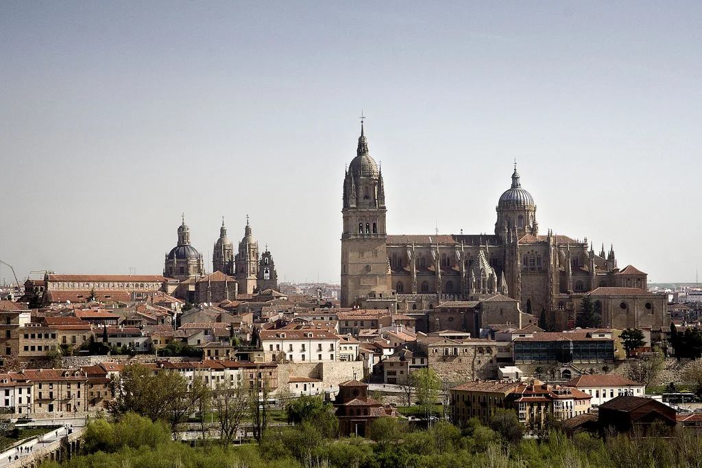
Salamanca's monumental core is compact and best read as a few clusters rather than twenty separate pins. The Plaza Mayor is the reference point, Calle Mayor links it to the university and cathedrals, and the two cathedrals stand together in the south-west of the old town. This guide groups the sights by area so you can mark a handful of points and plan the walking legs between them.
It covers the squares around the Plaza Mayor, the university quarter, the two cathedrals, the western churches and gardens, the river end and the eastern convents. It also tells you where to pick up a printed plan and the current monument opening hours, rather than guessing at times.
Salamanca's layout in one answer
Read it as a rough line from the Plaza Mayor in the heart of the old town down through Calle Mayor to the university and the cathedrals in the south-west, with the Río Tormes closing the bottom edge. Every sight in this guide sits inside or just off that core, which is why the city rewards walking.
The historic centre is a UNESCO World Heritage site, and the official Salamanca tourism site organises its monument, museum and route listings by category, which is the easiest way to confirm what is currently open before you commit to a plan. Pick your must-see monuments from that list, then group them on your own map by the areas described below.
Use the Plaza Mayor and Calle Mayor as the spine and treat everything as either north, west, east or river side of them. That single decision turns a long alphabetical list into four short walks.
The Plaza Mayor as your reference point
The Plaza Mayor is the most famous square in Salamanca and the obvious place to start. Directly beside it, the Plaza del Corrillo and the Iglesia de San Martín form a smaller, quieter pocket that is easy to miss if you only look at the main square.
From the square's south side, Calle Mayor is one of the liveliest streets in the city and the natural route down towards the university and cathedrals. Walking it once in each direction is enough to orientate yourself for the rest of the trip.
The tourist office sits at Plaza Mayor, 32, inside the square itself, which makes it the sensible first stop for a paper plan and for monument opening hours. The official Salamanca tourism site lists its address and contact details along with the other practical information.
The university quarter
The Universidad de Salamanca is the anchor of the southern quarter and one of the city's unmissable stops. Immediately beside it, the Patio de las Escuelas Menores is a small, enclosed courtyard that most day-trippers walk straight past.
The Cielo de Salamanca sits in the same group, so mark the university, the Escuelas Menores patio and the Cielo as one pin rather than three. This is the tightest cluster on the map and the one where an umbrella approach pays off most.
If you want to see more than the headline monuments, the city's museums are spread across this and the western quarter, so check which ones you actually want before plotting a route.
The two cathedrals as one stop
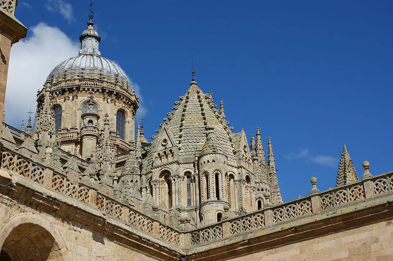
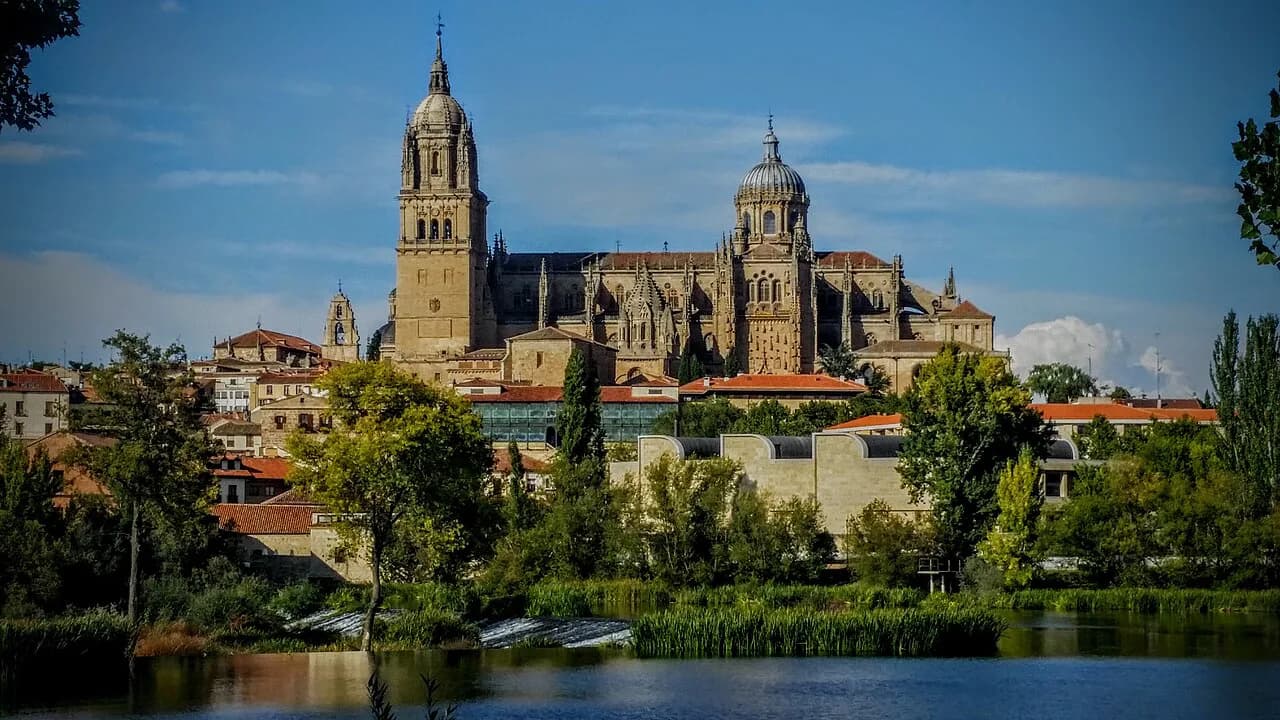
The Catedral Nueva and the Catedral Vieja stand together, physically joined, so nobody should plan them as separate walking legs. Put a single pin at the cathedral complex and decide inside how much of each you want to see.
Telling which door you are at is the harder part: the complex has entrances on different sides, and arriving from Calle Mayor brings you in from the north while the river side is the opposite face. Approach it once from the street you came down, then walk the full circuit of the exterior to fix the layout before going in.
For the wider backstory of the old city and what survives of its earlier phases, the city's history runs through the cathedral quarter and the river end.
South-west of the centre: La Clerecía and the Casa de las Conchas
South-west of the Plaza Mayor, La Clerecía and the Casa de las Conchas sit close enough to be visited on the same short loop. The Casa de las Conchas, with its carved shell facade, is one of the city's signature sights and a natural stopping point on the way to the university.
Beyond them, the Huerto de Calisto y Melibea is a garden tucked into the same western area and one of the prettiest corners of the city. It works well as a pause between the churches rather than a destination in its own right.
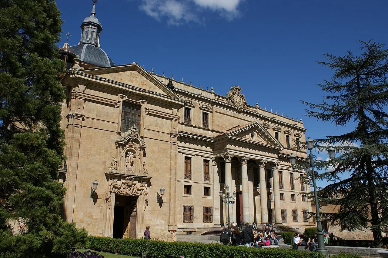
Casa de las Conchas, with its carved shell facade, is one of the city's signature sights and sits on the approach to the university. La Clerecía is close enough to visit on the same short loop. Plot it as a loop from the Plaza Mayor rather than a separate trip.
Down to the river
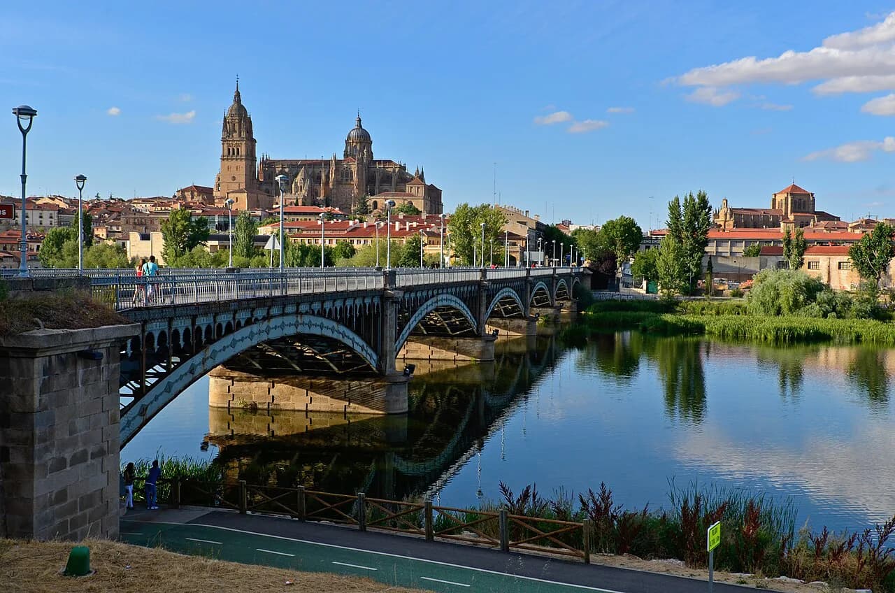
At the southern edge, the Puente Romano crosses the Río Tormes and the Estatua del Lazarillo de Tormes sits nearby on the bridge approach. This is the longest leg on the map from the Plaza Mayor, so treat it as a deliberate walk rather than something you pass on the way to the next monument.
The Cueva de Salamanca, one of the city's most curious corners, lies in the same lower part of town as the bridge. Add it to the river leg so you are not walking back down the hill twice.
East of the core: San Esteban and Casa Lis
East of the centre, the Convento de San Esteban is one of the most impressive buildings in the city and pulls the map out towards the eastern edge. Casa Lis sits in the same broad area, so plan them as one eastern excursion rather than two.
With the river end and the eastern convents as the two outer edges, the walkable core is the middle; anything outside that line becomes a longer leg. Deciding early which of the two edges you will cover keeps the day realistic.
Marking the map: plan first, then walk
A ten-stop list becomes a two-hour stroll once it is grouped, so do the grouping before you leave the square. Collect a paper plan from the Plaza Mayor tourist office, then mark the Plaza Mayor and Calle Mayor as your spine and add no more than five clusters.
Ask at the same office for current monument opening hours and any day-of-week closures before you set out, since times are the one thing a printed plan can go out of date on. The official Salamanca tourism site also publishes opening hours for monuments and guided visits.
A published tourist map of Salamanca lists 76 historical, cultural and other places of interest, which shows how quickly a pin list can balloon. Pick your clusters from that pool rather than trying to tick them all.
What the map adds beyond the one-day route
The one-day route in a Salamanca city guide runs through the Plaza Mayor, Calle Mayor, Casa de las Conchas, La Clerecía, the university, the cathedrals, San Esteban, Casa Lis and the Roman bridge. If you are mapping the city, that order is a sound starting point.
What a map adds is Cerro de San Vicente, which the official tourism site lists among its sights and which most short itineraries skip. Use your leftover time for that and the western garden rather than a second pass at the squares.
If you are building out the full trip rather than just the day, the wider set of things to do in Salamanca covers the monuments, routes and programmes in more depth than a map can.
Which four pins to mark first
Mark the Plaza Mayor, the cathedral complex, the university quarter and the river bridge, and you have the whole city covered as a shape. Everything else sits between or just off those four, which is why the walking order matters more than the list.
Start at Plaza Mayor, 32 for a paper plan and current opening hours, then walk south down Calle Mayor and let the map do the rest.
Explore more Salamanca guides
Frequently Asked Questions
Where can I get a paper map of Salamanca?
The tourist office at Plaza Mayor, 32, inside the square, is the obvious first stop, and the official Salamanca tourism site lists its address and contact details. Ask there for a printed plan and for current monument opening hours before you set out.
Are the two cathedrals close together?
Yes. The Catedral Nueva and Catedral Vieja stand together as one joined complex, so they belong on a single pin rather than two separate walking legs. Walk the exterior once to work out which entrance you are at before going in.
Can I see central Salamanca on foot?
The monumental core between the Plaza Mayor and the Río Tormes is arranged for walking, with the sights grouped in small clusters. The river end and the eastern convents are the two outer edges that stretch the walk furthest from the square.
Sources
Notes for your next Spanish town break
Optional updates to our guides.
You might also like
Continue reading
More guides you'll find useful