Sóller Map: Old Town, Port and Tram Stops Laid Out
A visitor's map of Sóller: how the old centre, Port de Sóller and the tram line connect, where the Punta de Sóller mirador sits and how to read the town on foot.
On this page
Sóller is easiest to read as two centres joined by one tram line: the historic town sits inland in the Vall de Sóller, while Port de Sóller occupies a sheltered horseshoe bay on the coast. Almost everything a short-break visitor wants in the town itself clusters within a few minutes' walk of the church and the main square. This guide lays out both halves, the tram between them, the Punta de Sóller mirador and where the road, rail and bus approaches land you.
Read it alongside Things to Do in Sóller, which fills in the sights themselves; here the job is orientation, walking distances and the trade-offs that decide whether you use the tram, a bus or your own two feet.
Sóller in one paragraph
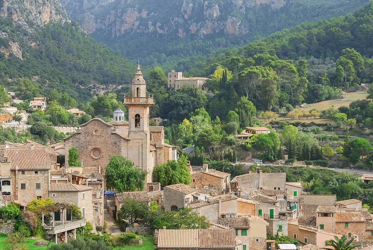
The municipality runs from the town in its mountain valley out to the port on the north-west coast, and the town hall treats the two as one place with separate tourism, parking and transport information for each. The old town is where the church, the square and the modernist buildings are; the port is where the water, the promenade and the mirador are. Between them lie the mountains of the Serra de Tramuntana, which is why the valley stayed relatively isolated until road and rail arrived.
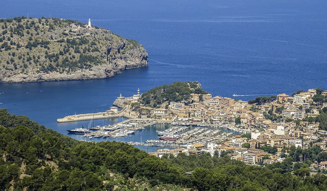
The port's geography explains a lot of the layout. Port de Sóller sits in a natural sheltered harbour that its own local guide describes as the only protected port along roughly 80 kilometres of otherwise rugged north-west coast between Andratx and Pollença, which is why the settlement grew around the water rather than along an open shore.
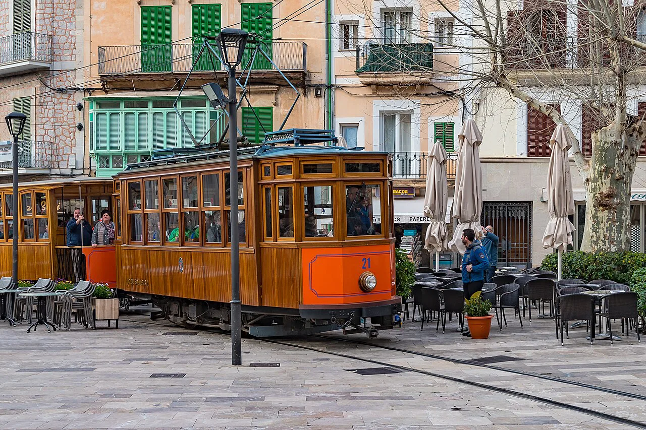
The shape of the town: centre, port and the tram line
Picture a Y laid on its side. The stem is the road and rail corridor from Palma over the mountains; one arm ends in the inland town, the other at the port, and the tram line runs along that lower arm. On a map the tram stops are your quickest way of telling which half of Sóller you are looking at.
A single pin dropped on Sóller can mislead: depending on the map, it may land in the old town, at the port or on the connecting road. If your accommodation or your ticket is described simply as Sóller, check which centre it means before you plan a walk.
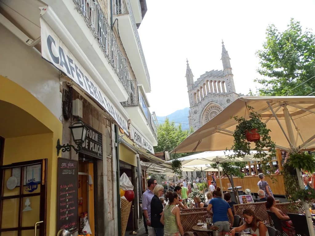
The old town repays slow reading rather than efficient crossing. Its streets gather around the church and the main square, and the modernist and Art Nouveau buildings listed on the town hall's own modernist route sit within that same compact cluster.
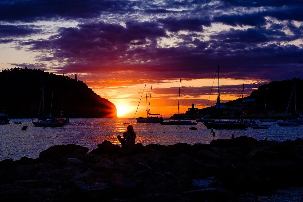
Reading the old centre on a map
Start at the church and the square beside it, then work outwards. The centre is small enough that a wrong turn costs you a couple of minutes rather than a morning, and the street pattern is irregular enough that a printed plan beats holding the shape in your head.
Treat the town hall's tourism portal as your base map rather than a generic tourist sketch: it sets out the monuments, the modernist route, how to arrive and get around, plus an interactive shop map and the municipal cartographic viewer.
One practical consequence of the compact centre is that a car is a liability inside it. Park once on the edge of town, then walk the centre and take the tram to the port rather than moving the car between the two.
Port de Sóller: the horseshoe bay, the promenade and the two beach ends
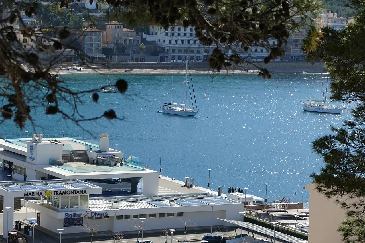
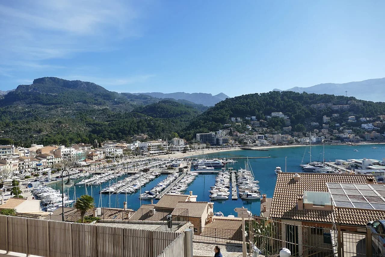
The port reads as a long, curved seafront rather than a grid. The historic core grew at the more sheltered north-eastern end of the bay, and building later spread south and east past the beach area at the Repic end, which is why the settlement looks stretched along the water from above.
On the ground this means a promenade walk from one end to the other, with the harbour and its boats on one side and the slopes of the Tramuntana rising behind the seafront buildings. From the quay the view fragments into individual boats and terraces; from above, the whole bay becomes legible at once.
If your plan includes time on the water, boat trips leave from the port itself and are worth plotting on the same map as the tram stop so you are not crossing the bay twice in a morning.
Punta de Sóller: the mirador at the eastern end of the port
The Punta de Sóller viewpoint sits at the eastern extremity of Port de Sóller, reached on foot from the port core. It is a mirador rather than a museum with a fixed route, so the visit is as long as you make it: a quick look, or a longer stay tracing the curve of the promenade, the harbour structures and the mountain slopes in one sweep.
What it overlooks is the Badia de Sóller as a whole. From up there you can see how the port settlement relates to the water and to the Tramuntana behind it, which is hard to grasp at pavement level, so it works best as a first orientation stop before you walk down to the boats.
Photographers should pan across the bay rather than fixing on its centre: the appeal is the panorama of open sea, sheltered harbour and mountains stacked behind one another, not any single building.
Getting your bearings on arrival: train, bus and the Ma-11
By road from Palma, the Ma-11 is the main approach to the port, and the port's own guide describes the drive from the capital as 31 km taking around 40 minutes; from the airport the route runs via the Ma-20 and then the Ma-11. Treat those figures as road-distance estimates rather than a promise for a summer afternoon.
Rail and bus both deliver you into the inland town rather than the port, which is what you want if you are spending the day on foot: you arrive in the old centre and can walk it immediately. The port's local guide also covers bus lines serving the port and the tram connection up to the inland town.
For timetable specifics, take them from the operator on the day rather than from a map: seasonal variation is the detail most likely to catch you out.
Parking in Sóller and Port de Sóller
Parking is the part of the map most worth settling before you drive in. The town hall publishes parking-zone information for both Sóller and Port de Sóller, with maps, which is more reliable than circling the seafront hoping for a space.
The strategic choice is simple: park at whichever centre you plan to leave from, not the one you reach first. If you want the port in the evening and the old town in the morning, park in the town and use the tram both ways rather than repositioning the car.
The municipality also operates a Zona de Baixes Emissions, with access rules, vehicle distinctions and authorisations set out on the town hall's own pages, so check those before relying on a particular street.
The tram between Sóller and the port on the map
The tram is the map's connective tissue: it links the inland town with the port along the valley floor, and the port's guide recommends combining a mirador visit with the tram ride up to the town. Plan the tram as your transfer between the two centres rather than as an add-on, and Sóller and its port stop feeling like separate trips.
Ticketing and running times are set by the operator and vary through the year, so build your day around what it publishes rather than a remembered schedule.
What sits within walking distance, and what needs the tram or a bus
In the town, the church, the square, the modernist facades and the streets around them are all a walk, and the distances are short enough that you will cover the centre without planning a route. In the port, the promenade, the harbour and the walk out to the Punta de Sóller mirador are likewise on foot.
What is not a walk is the link between the two centres. That stretch goes to the tram, a bus or the car, and it is the one leg of a Sóller itinerary worth deciding deliberately rather than improvising.
Everything beyond the municipality needs a separate plan: Valldemossa and the rest of the Serra de Tramuntana lie over the mountains, and the road out of the valley is the only way to reach them.
Using the official town maps and the modernist route
The tourism portal is the most useful single map source because it covers the practical layers a visitor needs in one place: monuments, the modernist and Art Nouveau route, how to arrive and move around, an interactive shop map and a cartographic viewer for the whole municipality.
Use the modernist route as a walking loop rather than a checklist. Because the buildings sit close together in the centre, the route doubles as a way of learning the street pattern, so a second pass takes you past the church and square without needing the map at all.
Cross-check any third-party map against the town hall's before you commit to a route, particularly for one-way streets, parking zones and the low-emission zone boundary.
Where the map runs out: beaches, walks and the rest of the island
Sóller's map ends at the municipality boundary, and that is where you should switch plans. Beaches, hiking and the wider island are separate subjects with separate logistics, and a town plan will not carry you to them.
What the map does give you is a clear sense of scale. The valley town and its port are close enough to combine in a day, which makes Sóller a good base for reading the Serra de Tramuntana rather than a place you dash through.
Which half of Sóller should you map first?
Map the old town first. It is compact, it is where the train and bus arrive, and walking it gives you the street pattern you will use all trip. Then take the tram to the port, walk the promenade out to the Punta de Sóller mirador for the view over the Badia de Sóller, and come back along the seafront.
If your time is short, choose one centre and do it properly rather than splitting the day. With a full day, the town in the morning and the port in the afternoon uses the tram once in each direction and keeps the driving to a minimum.
Explore more Sóller guides
Frequently Asked Questions
Why does a Sóller map show two separate centres?
The municipality covers both the inland town in its valley and Port de Sóller on the coast, and the town hall publishes tourism and parking information for each separately. The old town holds the church, square and modernist buildings; the port holds the harbour, promenade and the Punta de Sóller viewpoint. They are joined by the tram line, which is the practical link between them.
Do I need a car to see both Sóller and its port?
No. The tram links the two centres, and buses serve the port as well. A car is most useful for reaching the rest of the Serra de Tramuntana, but inside the town and along the port seafront you will be walking, so parking once and using the tram is the simpler arrangement.
Sources
Notes for your next Spanish town break
Optional updates to our guides.
You might also like
Continue reading
More guides you'll find useful