Tarragona Map: Roman Sights, Old Town and Stations Laid Out
A practical Tarragona map guide: where the Roman amphitheatre, circus and walls sit, how the old town and Rambla Nova connect, and where the stations are.
On this page
Tarragona is a two-layer city, and one map shows it clearly: Roman monuments along the lower edge near the sea, and the old town stacked on the hill directly above. Almost everything worth seeing sits inside a walkable core, so the map you need is less a street index than a way of deciding what to climb for and when.
This guide follows that logic area by area: the seafront terrace and amphitheatre first, the climb through the circus to the cathedral and walls second, then the square-and-rambla spine that carries you back down to the modern city. It also shows where the stations and car parks sit, and why the Cistercian monasteries belong on a separate province map.
What a Tarragona map shows: a hill town above a Roman shoreline
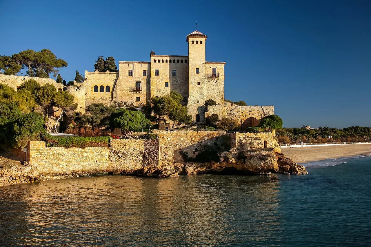
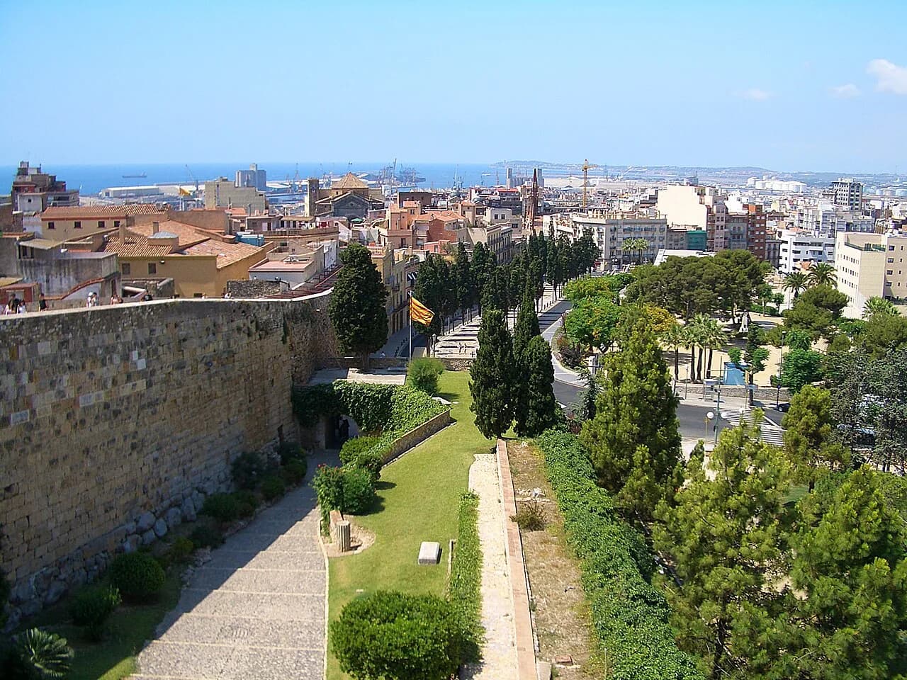
Tarragona was Roman Tarraco, capital of the province of Hispania Citerior Tarraconensis, and its monuments are scattered rather than fenced into one site. The useful mental picture is a horseshoe: the sea and the Balcón del Mediterráneo at the open end, the Roman amphitheatre and circus rising behind it, and the medieval streets of the upper town closing the curve on the hill.
That geography explains the walking: you are always either going up to the cathedral quarter or coming back down to the Rambla. Plan the climb once rather than zig-zagging, and keep the water side of the map for the end of the day when the light is softer.
The Roman remains and the medieval quarter sit together on the same hill and shoreline, which is the best single filter for deciding what the map is showing you. If you want the background before you walk it, the city's story is worth half an hour of reading.
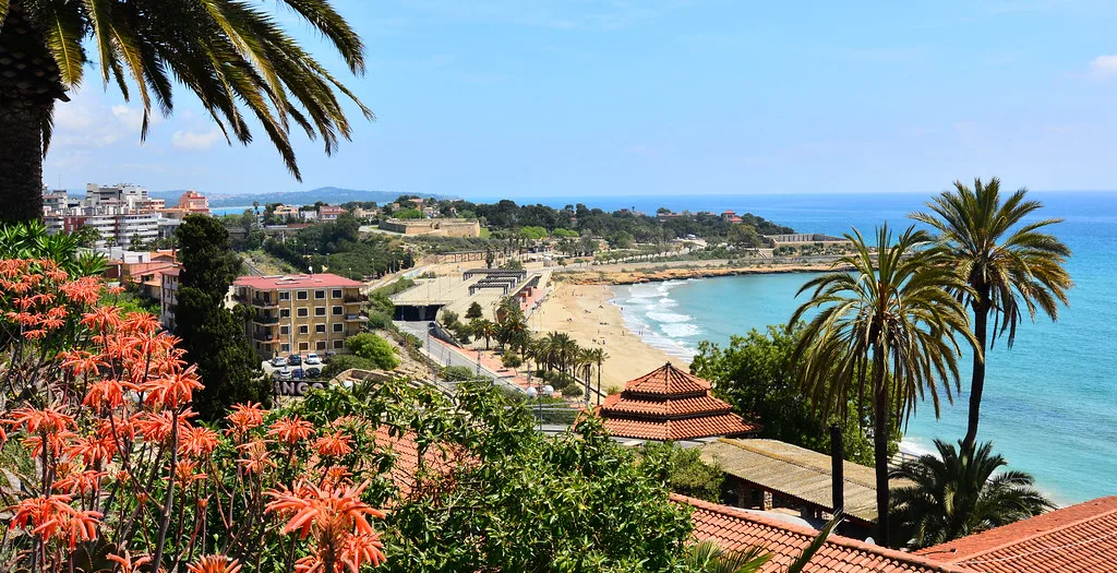
The lower sights in walking order: the Balcón, the amphitheatre and the circus
Start at the Balcón del Mediterráneo, the terrace that opens over the sea roughly 40 metres up, with the port, the Miracle beach and the amphitheatre laid out below. It costs nothing and takes minutes, and gives you the whole map in one view before you commit to the hill.
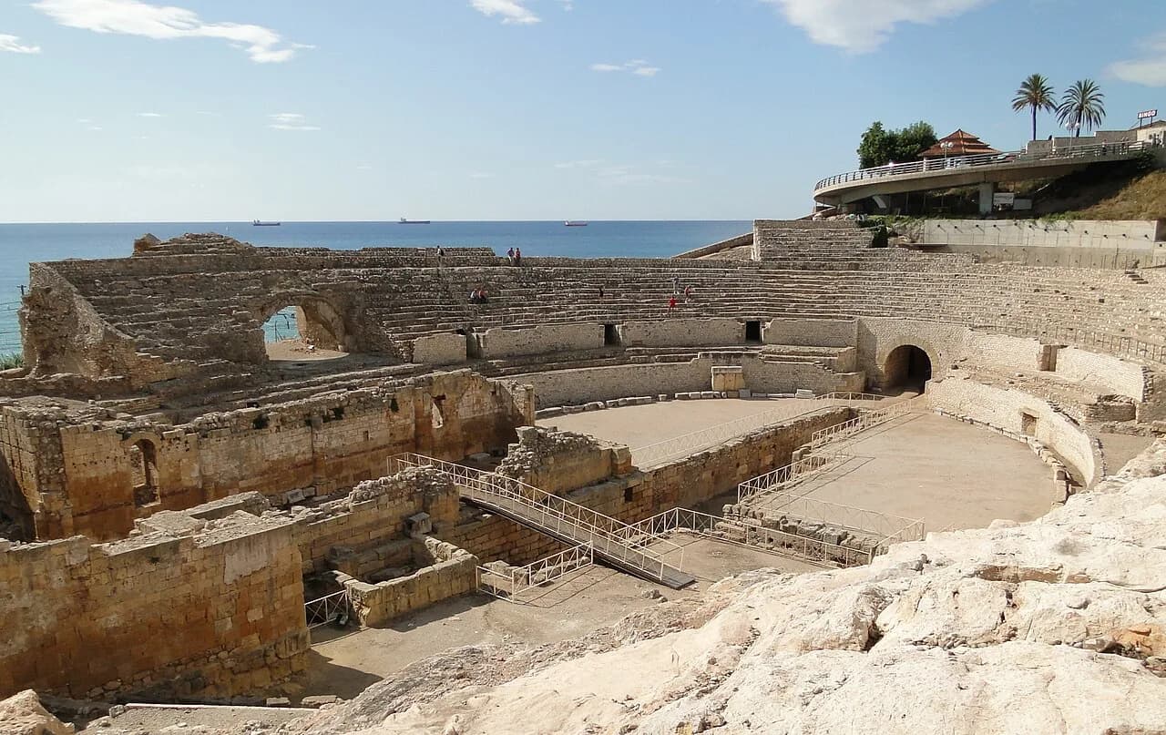
From there drop to the Anfiteatro de Tarraco, built in the Roman era just inside the walls and close to the water, where successive bishops are commemorated. Continue to the Circo Romano de Tarraco, the chariot-racing track whose surviving vaults now run beneath streets and buildings, and which you can partly walk through.
These three sit within a few hundred metres of each other on the lower map, so they work as one block of an hour or two rather than three separate outings. Ticket arrangements for the Roman sites change, so check the current combined pass and opening times at the ticket office or the city's heritage pages before you set out.
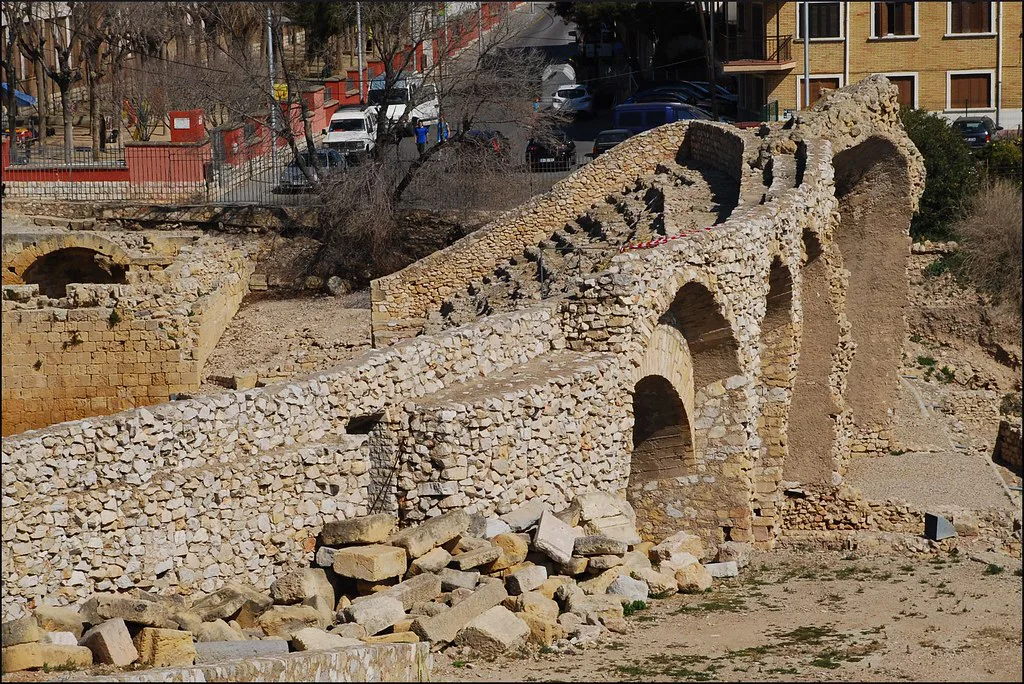
The upper town: Plaça del Rei, the cathedral and the Muralla
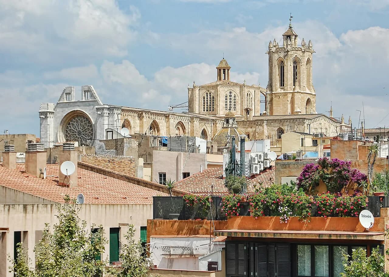
The climb brings you to Plaça del Rei, a small square that sits on the Roman level beneath the medieval city, with the cathedral rising beside it. From here the streets narrow into the old town proper, and the gradient is the reason an upper-town loop takes longer than its length on the map suggests.
The Catedral de Tarragona anchors the top of the hill, and the Muralla de Tarragona runs along the northern edge as a stretch of Roman wall that guides include among the city's sights. Treat the cathedral and the wall as the two fixed points of the upper circuit and thread the lanes between them.
One practical warning for the map: upper-town churches and small sites often close for part of the middle of the day and are shut to sightseers during services. Aim for the morning or late afternoon, and make your route back down take in the lower lanes rather than retracing your steps uphill.
Plaça de la Font, the Castellers monument and Rambla Nova
Below the old town, Plaça de la Font is the central square of the modern city and the natural place to stop for a drink after the climb. It is also the square where the city's festivals and celebrations centre, so expect it to be busy at those times. From there the map tips you out onto Rambla Nova.
Rambla Nova is the long straight spine running back through the newer town, with the shopping streets and cafés along it. If you are using the map to shop or to find the centre rather than the monuments, this is the line to follow.
The city is compact and the historic centre is easy to cover on foot, which is worth remembering when you are deciding whether to bother with the local bus. Walking the spine from the old town to the modern centre is straightforward and takes less than half an hour.
Where the stations and car parks sit
Tarragona's bus station sits in the centre near Rambla Nova, about 15 to 20 minutes on foot from the upper town, which makes arriving by coach straightforward. Long-distance and high-speed AVE trains, however, stop at Camp de Tarragona, roughly 15 km outside the city, so build in a transfer rather than expecting to step off at the old town.
The ordinary Tarragona station near the lower part of town handles regional and commuter services, which is the one to look for if you are coming from a nearby coastal town. Coach services from Barcelona and elsewhere are run by ALSA, and the same operator covers Barcelona airport.
Driving in, the municipal car parks charge around 5.95 EUR for a full day, and three of them sit close to the upper town: Torroja, Saavedra and the one on Avinguda de Catalunya. Treat that figure as the rate the city quoted to one local guide and confirm it on the meter or barrier display on arrival.
The province on a wider map: Reus and the Cistercian monasteries
Zoom out and Tarragona province opens up: Reus, with its modernist houses and Gaudí connection, is a manageable city in its own right and a well-placed base for the surrounding countryside. The Cistercian route that runs through the Alt Camp, Conca de Barberà and Urgell comarques takes in three monasteries, Santes Creus, Poblet and Vallbona de les Monges.
Santes Creus opens Tuesday to Sunday from 10.00, with later weekend closing times and seasonal variation, and it shuts entirely on Mondays. Poblet has shorter visiting windows, roughly 10.00 to 12.30 and 15.00 to 18.00, with slightly different Sunday and holiday hours, because it is still a working monastery.
A combined ticket can cover the three houses as well as separate entries, but the prices and guided-visit arrangements are best checked on each monastery's own website. Look there rather than trusting a blog, and check Poblet's restricted visiting hours before you drive.
How to use the map on the ground: a one-day line, and what to cut
For a full day, follow the map as a single line: Balcón del Mediterráneo, amphitheatre, circus, the climb to Plaça del Rei, cathedral and wall, then down through Plaça de la Font to Rambla Nova. That order keeps the Roman sites together while the light is good and brings you back down through the newer city.
On a half-day, cut the churches and the wall first, and keep the seafront terrace, amphitheatre and old-town lanes. If rain or midday heat forces a change of plan, look for an indoor stop in the old town rather than pushing on to the province.
The upper town rewards slow walking, not a checklist, so resist squeezing in the far side of the map. Save the province for a separate day, and the city itself for the day you have on foot.
Which half of Tarragona to map first
If this is your only day, map the lower Roman band and the cathedral hill as one circuit and leave the province alone. If you have a second day, point the map at Reus and the Cistercian monasteries on their own terms, after checking each house's site.
For the detail behind each stop, the fuller attractions guide breaks down what each entry costs, what is inside and what to skip.
Explore more Tarragona guides
Frequently Asked Questions
Is Tarragona close to Barcelona?
Yes. The city sits on the coast roughly an hour from Barcelona by road, which makes it a realistic short-break base or a day out. Fast trains do not stop in the centre, however, so plan the arrival around the transfer from Camp de Tarragona.
What airport do you fly into for Tarragona?
Barcelona's El Prat airport is the main arrival point for the region, and coach services from there to Tarragona are run by ALSA. Reus also has an airport serving the Costa Daurada, but check which airlines and routes are operating before booking around it.
Is Tarragona worth visiting for the Roman remains alone?
Yes, if you want to see a Roman capital at the seafront rather than in a fenced site. The amphitheatre, the circus vaults and the stretch of wall are woven into the modern city, which is what makes the map worth reading before you arrive.
Sources
Notes for your next Spanish town break
Optional updates to our guides.
You might also like
Continue reading
More guides you'll find useful