Cáceres Map: Old Town Layout, Sights by Area and Walking Routes
A practical Cáceres map guide: Plaza Mayor as the entry point, the walled Ciudad Vieja and its plazas, towers and museums, laid out by area for a walking route.
On this page
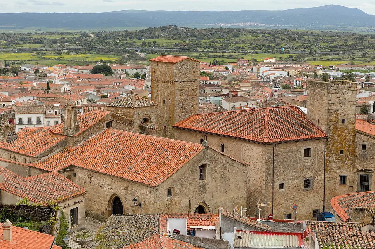
Cáceres compresses into a single walled hill above the Plaza Mayor, and that is the one geographic fact that makes the tourist map legible. The Ciudad Vieja sits inside its walls, while the modern city spreads around it. This guide arranges the sights by plaza rather than by a numbered list, so you can plot a route on any map you pick up.
Almost every monument here falls inside the walls and sits within a short walk of the next, which is why the map rewards a continuous loop rather than a series of separate outings. The Museo Helga de Alvear is the main exception, sitting outside the historic core and needing its own leg.
Cáceres on the map: Extremadura, west of Madrid
Cáceres is the capital of its province in Extremadura, in western Spain, and the historic centre compounds into a tight knot of palaces, towers and churches rather than spreading out. Visitors who check things to do in Cáceres quickly discover that the Ciudad Monumental de Cáceres is the core, and the surrounding modern city is mostly where you sleep and eat. On a map, look for the Plaza Mayor as the hinge between the two.
The geography that matters is vertical as much as horizontal. The old town occupies a rise, so the map's straight lines translate into slopes and steps between plazas. Treat distances inside the walls as short but slow, and allow extra time for cobbles and gradients.
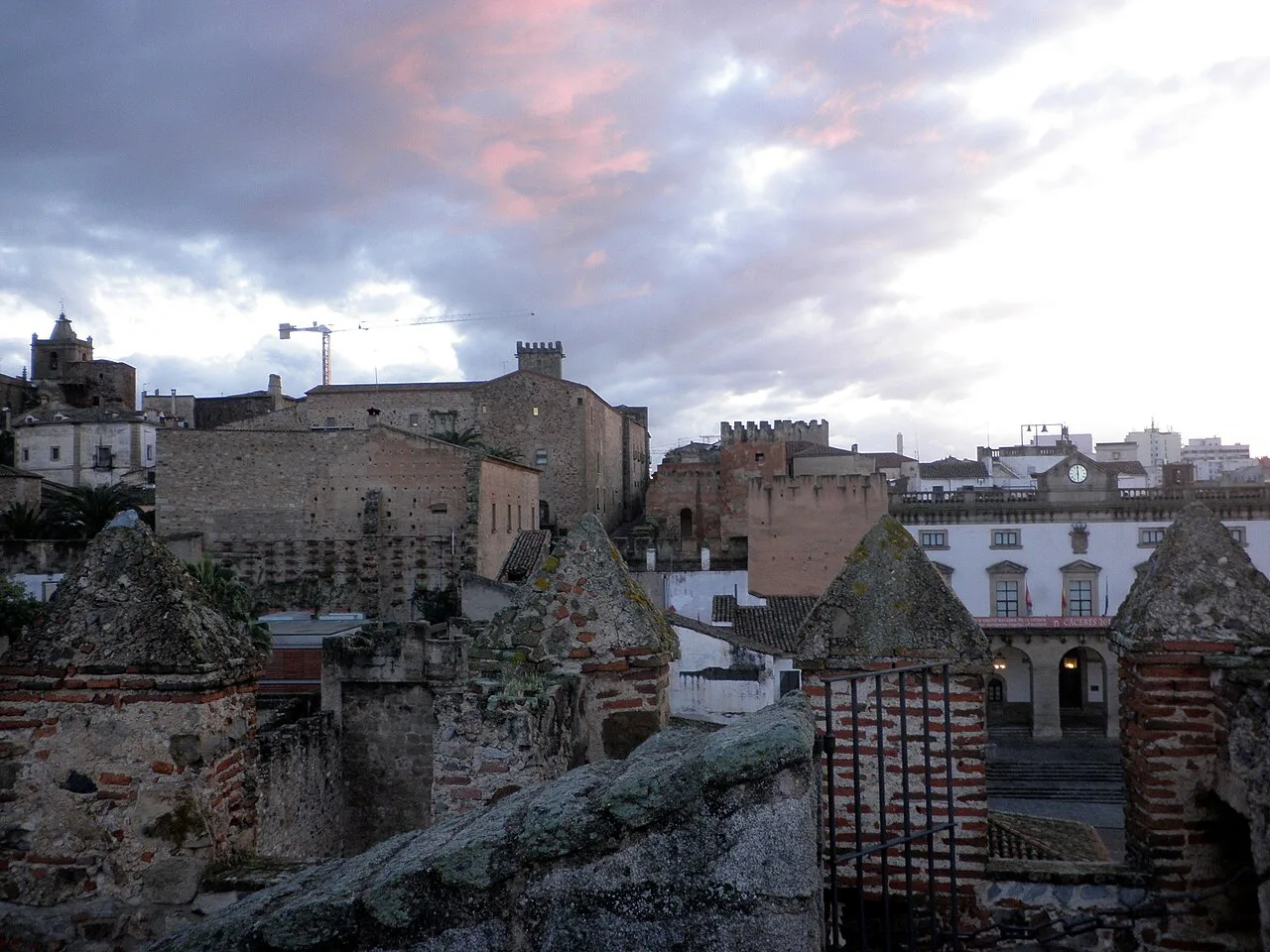
What the map actually shows: a walled pocket inside the modern city
The Ciudad Vieja is enclosed by walls, and the gates through them are your entry points rather than streets that simply continue. The Plaza Mayor sits just outside the main gate, so the map reads as a ring of modern streets, a wall, and then the medieval grid inside. That structure is why almost everything worth seeing sits within a short walk once you are through.
Inside, the town is organised around a handful of small plazas linked by lanes, and each plaza gathers a cluster of monuments. Match those plaza names to your map and you have a workable navigation system, even on a paper plan with no street index. The Cáceres Attractions: 6 Visitor Guides pages break the same ground down monument by monument.
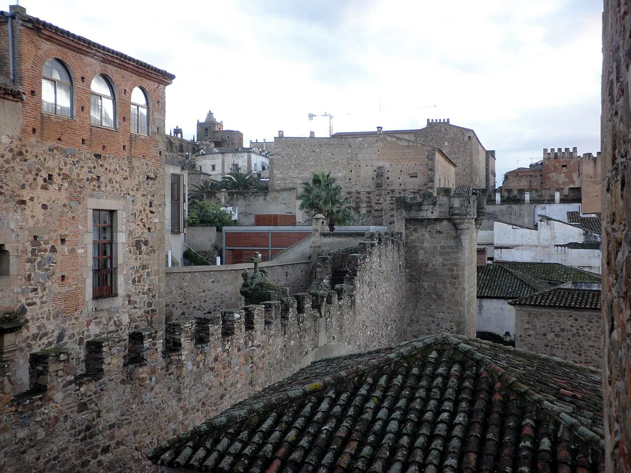
Start point: the Plaza Mayor and the towers on its edge
The Plaza Mayor is the natural first square on any Cáceres map: the old market place, ringed with arcades, and the spot where the city's monuments begin. Around it stand the Ayuntamiento, the Torre de la Hierba, the Torre de los Púlpitos and the Torre de Bujaco, alongside the Ermita de la Paz, which makes the square a survey point for the walls before you cross them.
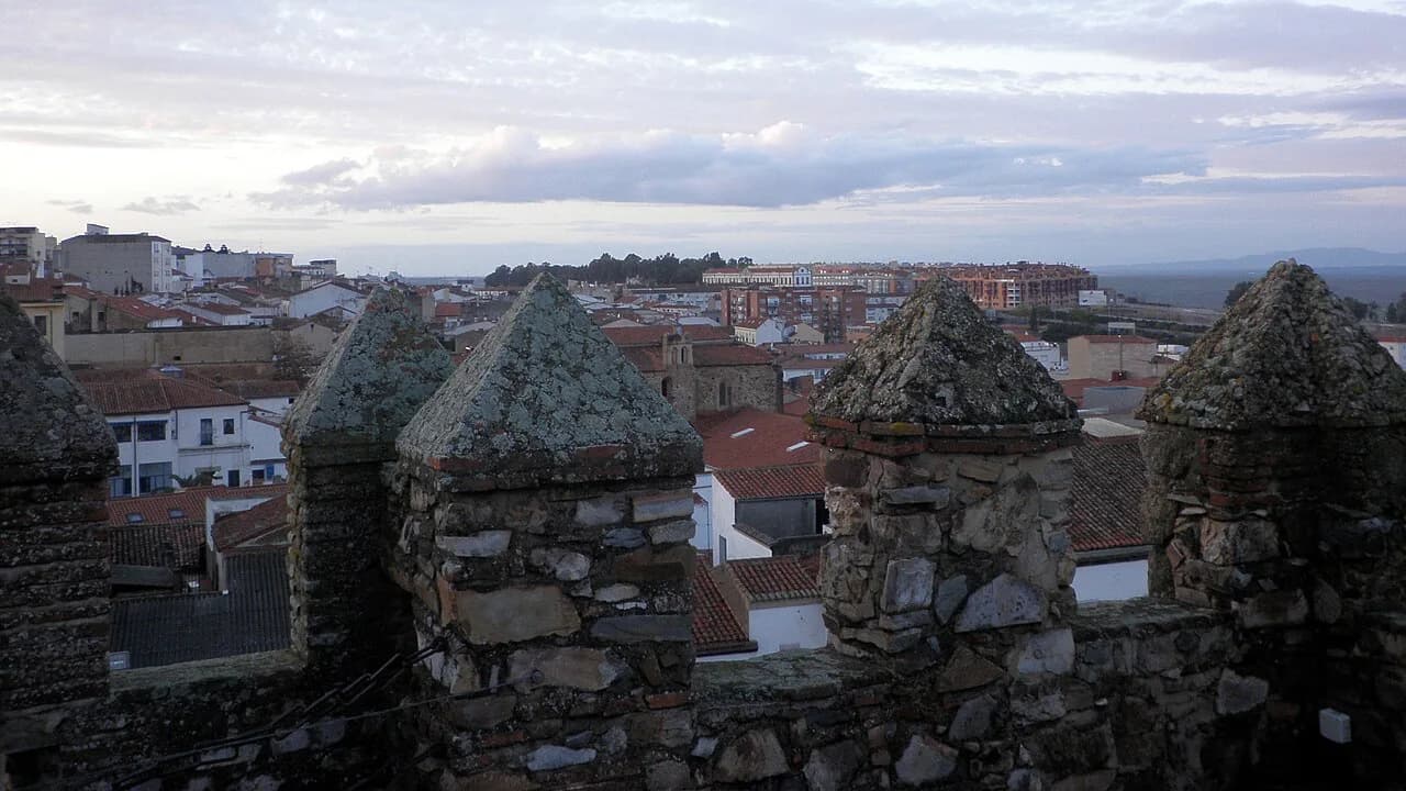
The Torre de Bujaco is the one to climb first if you want to read the layout from above. It was rebuilt by the Almohads in the 12th century on a base of Roman ashlars, and its parapet gives a clear view over both the walled centre and the modern city. From the top you can pick out the plazas and lanes you will walk through next.
The Torre de los Púlpitos takes its name from the cylindrical openings at its outer corners, which resemble church pulpits, while the Torre de la Hierba is a 12th-century albarrana tower from the Muslim defences. Seeing them from the square first makes them easy to place once you are up on the wall.
Crossing the threshold: the Arco de la Estrella
The Arco de la Estrella is the main gate from the Plaza Mayor into the Ciudad Vieja, built in the 15th century to ease traffic towards the square and remodelled into its present form in the 18th. Step through it and the map flips from modern streets to the medieval grid.
Treat the arch as the hinge of your day rather than a sight to tick off. Everything in the zones below is reachable from it on foot, so a loop that leaves the Plaza Mayor here and returns elsewhere on the wall keeps you from backtracking.
Zone 1 — Plaza de Santa María: the heart of the old town
The Plaza de Santa María is the first square you meet inside the walls and the most concentrated cluster on the map. It is a pedestrian space lined with the Concatedral de Santa María, the Palacio Episcopal, the Palacio de Carvajal, the Casa de Hernando de Ovando, the Palacio de Mayoralgo and the Palacio de la Diputación.
The Concatedral de Santa María anchors the square, and the Palacio de Carvajal adds a garden and tower views a few steps away. The plaza works as a single stop rather than six separate ones, so give it time rather than photographing it from the edge and moving on.
Zone 2 — Plaza de San Jorge and the Jesuit church
A short walk from Santa María, the Plaza de San Jorge holds the Iglesia de San Francisco Javier, the Jesuit church whose twin towers are among the most photographed silhouettes in Cáceres. The square is smaller and quieter than Santa María, which makes it a good pause between the denser stops. Climbing the towers adds height to the picture you have been building from the Torre de Bujaco.
Because San Jorge sits close to Santa María, the two plazas work as one block on a walking route. Head from one to the other, then continue deeper into the grid rather than returning to the gate.
Zone 3 — Plaza de las Veletas and the Museo de Cáceres
The Plaza de las Veletas takes its name from the Palacio de las Veletas, which houses the Museo de Cáceres and its aljibe, the cistern beneath the building. The square is a useful landmark because it sits roughly in the middle of the walled town, so it doubles as a reset point halfway round. Plan the museum as a stop rather than a quick look.
Beyond the cistern, the palace and its surroundings are reason enough to put this corner on the map even if you skip the galleries. The Baluarte de los Pozos nearby continues the defensive story you started at the Plaza Mayor.
Zone 4 — Plaza de San Mateo and the Barrio Alto
The Barrio Alto around the Plaza de San Mateo is the quieter upper part of the walled town, and the Iglesia de San Mateo, the Convento de San Pablo and the Palacio de las Cigüeñas sit within a short radius of the square. This is where the crowds thin out and the lanes start to feel residential, and where the gradient is most noticeable.
Because this zone sits at the top of the old town, it makes sense to reach it early in a loop and work downhill afterwards. Starting high and descending saves energy for the plazas below.
Zone 5 — the Judería Vieja and the Arco del Cristo
The Judería Vieja lies below the walls near the Arco del Cristo, its whitewashed lanes a marked change of texture from the stone plazas above. The old Jewish quarter is one of the areas where the map's small scale flatters the walking: the lanes twist and the streets do not run straight.
The Arco del Cristo is the other historic gate through the walls and a natural exit from this zone. Leaving on the opposite side from where you entered keeps the day a loop and spares you the climb back up to the Arco de la Estrella.
Zone 6 — western and southern intramuros
The western side of the walled town, towards the Plaza de Caldereros, holds the Palacio de los Golfines de Arriba, the Torre de Sande and the Casa Mudéjar, quieter stops that most day visitors skip. The Palacio de los Golfines de Abajo, with its old armoury, sits closer to the Santa María side and is the better-known of the two.
Use this zone to fill the gap between the main plazas rather than as a separate excursion. The Plaza de Caldereros and the lanes around it link the western edge back towards the centre, so you can close the loop without retracing your steps.
The wall walk: the adarve from the Torre de Bujaco
The adarve, the walkway along the top of the walls, is the single best way to read the Cáceres layout from above, and it starts at the Torre de Bujaco. From the tower you can follow the wall past the top of the Arco de la Estrella and on to the battlements of the Torre de los Púlpitos.
Access to the tower also includes the Roman remains found in the patio of the Palacio del Mayoralgo, where baths and a section of road survive. The route to them crosses a bridge over the adarve, which makes the detour as memorable as the archaeology.
Foro de los Balbos and the Roman layer under the medieval grid
The Foro de los Balbos, also called the Atrio del Corregidor, marks one of the gates of the Roman city of Norba Caesarina and now forms a small square holding the plateresque Pilar de San Francisco and a replica of the statue popularly known as the diosa Ceres. It is the clearest surviving trace of the town beneath the town.
Place it on your map between the Plaza Mayor and the Plaza de Santa María, where it forms a short stop on the way in rather than a detour. Reading the Roman remains alongside the Mayoralgo baths gives the visit a second layer that the stone palaces alone do not.
Beyond the walls: the Museo Helga de Alvear and the modern city
The Museo Helga de Alvear is the one major sight outside the walls, so it needs its own leg on the map rather than fitting into the intramuros loop. Guided visits are available, and the collection of contemporary art is a deliberate contrast to the medieval streets. Walk there after finishing the old town rather than breaking the loop to reach it.
The modern city around the walls is what you see from the towers between the monuments. Treat it as the connective tissue of the visit rather than a separate destination.
How the map shapes a walking plan
The most efficient structure is one continuous loop: begin at the Plaza Mayor, climb the Torre de Bujaco and walk the adarve, enter through the Arco de la Estrella, work through Santa María and San Jorge, climb to the Barrio Alto and San Mateo, drop to the Judería Vieja, and leave by the Arco del Cristo. That order follows the geography and avoids climbing the hill twice.
A half-day covers the main plazas and the wall walk; a full day adds the Museo de Cáceres and the Barrio Alto without rushing. Add the Museo Helga de Alvear only if contemporary art earns its place on your list, since it sits outside the walls.
What the map does not solve
Cobbles, steps and steep lanes slow every route inside the walls, and the gradient is easy to underestimate on a flat plan. Extremadura's inland summers make midday heat a real constraint, so plan the uphill sections for the cooler ends of the day and keep the museums for the hottest hours.
Which map should you carry?
Any map that names the plazas will do, because the Plaza Mayor, Santa María, San Jorge, las Veletas, San Mateo and the Judería Vieja are the real navigation system inside the walls. Start at the Plaza Mayor, climb the Torre de Bujaco for the view, then follow the plazas in the order above.
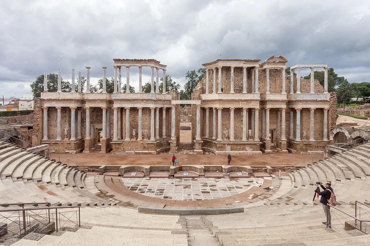
If your trip stretches across Extremadura, the same approach of grouping sights by square works in Mérida, where the Roman remains are the draw, and in Trujillo, whose plaza and castle sit above the town. Both make natural extensions of a Cáceres base.
Sources
Notes for your next Spanish town break
Optional updates to our guides.
You might also like
Continue reading
More guides you'll find useful