Murcia Map: Where the Old Town Sights Sit and How to Walk Them
A visitor's map of Murcia: how the cathedral, Plaza de Belluga and Plaza de Santo Domingo sit together, and where the coast and inland towns fall.
On this page
Murcia is a city in south-eastern Spain with a dense, walkable old town at its heart, and it is also the capital of a much larger Region of Murcia that runs from the Mediterranean coast to inland mountains. The two maps answer different questions, and mixing them up is the usual reason a Murcia map search ends in confusion. This guide lays out the central city first, then pins Cartagena, Lorca, the Mar Menor and the inland towns, so you can see how the pieces fit into a short break.
Treat the map as a planning tool rather than a checklist. What matters is the walking order between the cathedral, Plaza de Belluga, Plaza de Santo Domingo and the Glorieta de España, and how far the coast and the second cities sit from whichever base you pick.
Where Murcia is in Spain, and what the Region of Murcia covers
Murcia sits in the south-east of the Iberian peninsula, inland from the Mediterranean coast and south of the Valencian Community. The city is the capital of the Region of Murcia, a single-province autonomous community that also takes in the port city of Cartagena, the historic town of Lorca, the Mar Menor lagoon and long stretches of the Costa Cálida. Reading a map of Spain, the region occupies the south-eastern corner between Andalucía to the west and the Valencian Community to the north and east.
The regional tourism board organises what there is to see and do by locality, splitting the region into coast (Costa Cálida), city (Murcia, Cartagena, Lorca, Caravaca de la Cruz) and interior areas such as the north-east, north-west, Sierra Espuña and the Valle de Ricote. That three-way split is the most useful mental map for a trip: coast, cities and interior hills. Flick between them and you can see how far apart the region's highlights actually are before you commit to a base.
A regional search tool lets you filter by town or area, which is handy once you have shortlisted two or three places and want to see what else clusters nearby. Use it to confirm that a town you liked the sound of sits where you think it does, because the distances matter more than a map thumbnail suggests.
The shape of central Murcia: old town, river and the main plazas
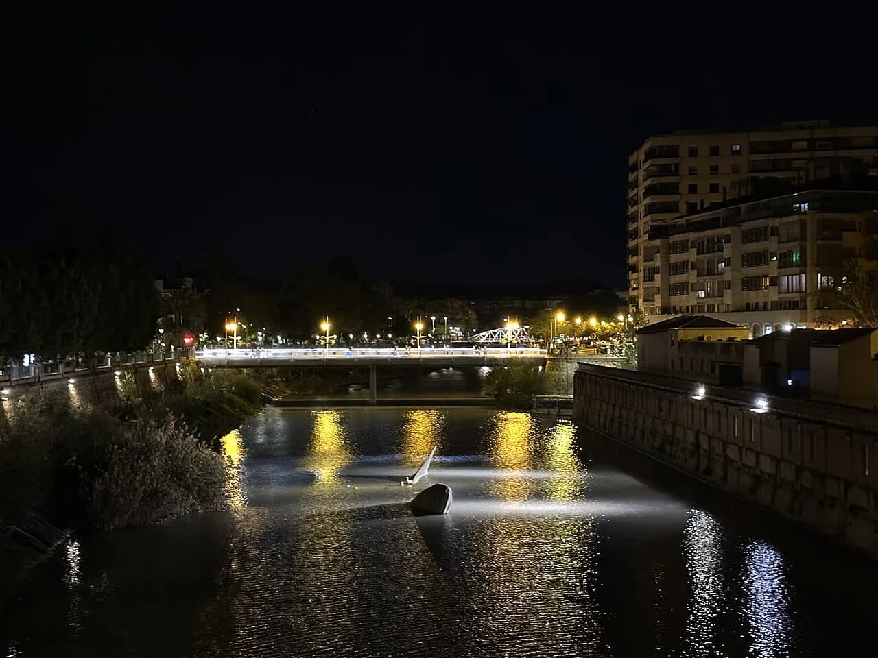
Central Murcia is compact. The Segura river runs along the northern edge of the historic centre, and the old town spreads south from it in a knot of narrow streets around the cathedral. The Catedral de Murcia is the practical anchor point, and the city's principal plazas sit within a short radius of it. If you learn the cathedral, Plaza de Belluga, Plaza de Santo Domingo and the Glorieta de España, you can navigate most of the centre on foot without a phone.
Plaza de Belluga is the ceremonial heart of the old town, a pedestrian square given over to tourism and eating and dominated by the cathedral facade. The Glorieta de España is one of the best-known squares in the city, holding the Ayuntamiento and the Palacio Episcopal, and it sits between the old town and the river. Those two squares, close together, are the first thing to find on any map.
Plaza de Santo Domingo is a paved pedestrian square with planting and palms, sitting on the other side of the cathedral from the river, and it works as a natural starting point for a walk north through the shopping streets towards Belluga. Pin the cathedral, Belluga, Santo Domingo and the Glorieta and you have the spine of the centre; everything else lies between or just off them.
The old town rewards a slow, unplanned loop rather than a strict route: the lanes between the cathedral and the river are where the city's layered history shows, from its Moorish foundation as Madinat Al-Mursiya onwards. Read up before you go and the street pattern starts to make sense as you walk it.
Plaza de Belluga and the cathedral: the anchor of any walk
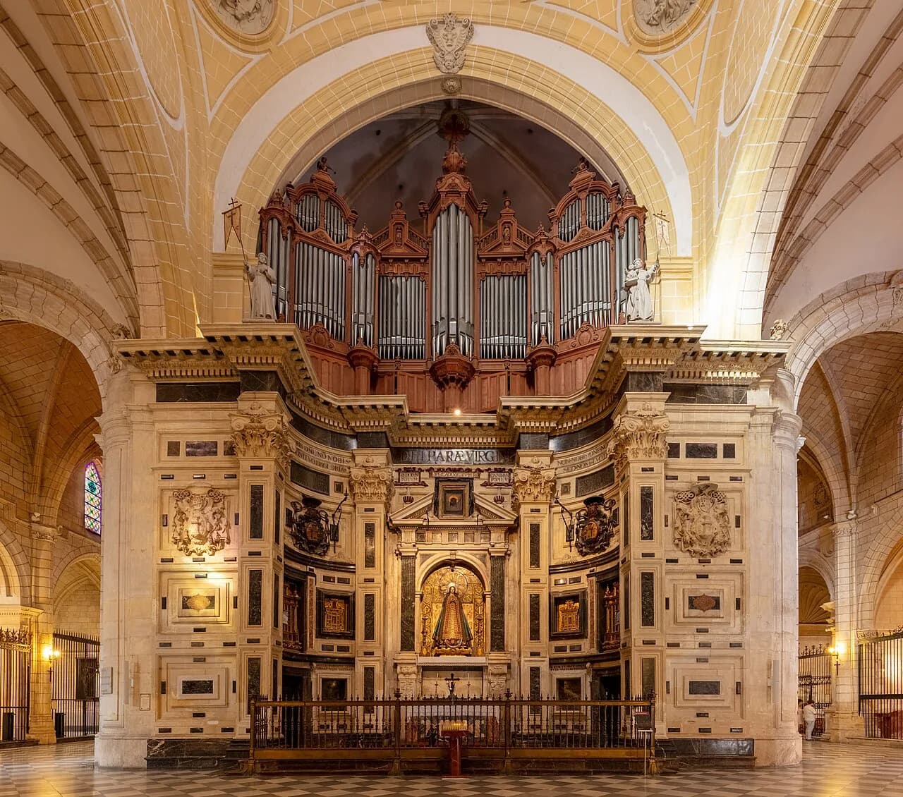
Start at the cathedral. The Catedral de Murcia is described as the most important building in the city and its tower is the symbol of Murcia, which makes it the natural first pin on any visitor map. The square in front, Plaza de Belluga, is where most walks begin and end because the cathedral facade dominates it.
The cathedral is also the point where the old town's museums and churches cluster, so plan a loop that starts here and works outwards rather than criss-crossing the centre. If religious art is your reason for coming, the Museo Salzillo is the obvious companion stop, and it sits within the same central web of streets.
Allow more time here than the map suggests: a square that looks like a five-minute photo stop on paper is usually where the morning disappears. The reward for lingering is watching the square shift from sightseeing to evening as the day cools.
Plaza de Santo Domingo and the Glorieta de España: linking the centre
Plaza de Santo Domingo and the Glorieta de España bookend the walkable centre, and both are marked on any city map. Santo Domingo is the paved, planted square on the southern side, a useful landmark when you emerge from the shopping streets, while the Glorieta sits at the river end near the Ayuntamiento. A rough line from one to the other passes close to the cathedral and Belluga.
The streets between the two squares are the city's shopping heart, so if you want to combine a walk with browsing, this is the stretch to do it on. The main shopping centres sit further out, which is worth knowing if you want to keep the old town for sightseeing.
Beyond the centre, the Nueva Condomina retail park is the out-of-town option that appears on a wider city map, well away from the historic core. Pin it separately so it does not tempt you into a wasted walk between the two.
Cartagena and Lorca: the other two cities on a regional map
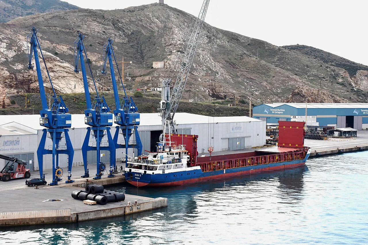
On a regional map, Cartagena is the port city to the south, on the coast, and it is the second city of the Region of Murcia after the capital. It is the obvious second pin if your trip is built around cities rather than coast. Its Roman heritage is what draws most visitors, and the Cartagena Roman theatre is the centrepiece.
The Teatro Romano de Cartagena and its Museo del Teatro Romano sit within the city's compact historic core, so the Roman sights are walkable from one another once you are there. Treat Cartagena as a full day of its own rather than a quick stop on the way to the coast.
Lorca sits inland to the south-west and is the region's other great monumental city, with Plaza de España as its centrepiece and a dense cluster of historic buildings around it. On the map it is the third corner of a roughly triangular city trio with Murcia and Cartagena. Caravaca de la Cruz, further north-west, is the fourth name to pin if religious heritage is on your list.
The coast on the map: Mar Menor, Mazarrón, Águilas and Cabo de Palos
The Region of Murcia's coastline is the Costa Cálida, and the standout feature on any map is the Mar Menor. The regional tourism board groups the coast as Costa Cálida, with La Manga del Mar Menor, San Javier, San Pedro del Pinatar, Mazarrón, Águilas and Cabo de Palos among its named places. Small maps make that coast hard to read, so pin the lagoon and the outer coast separately.
South of the Mar Menor, Mazarrón and Águilas run down towards the Andalucian border, with Cabo de Palos marking the headland near the northern end of the lagoon. The regional tourism listing treats the coast as one broad area broken into these named places, so you can filter by locality when you plan. It is worth knowing that the lagoon and the open sea are different in character before you decide where to point your base.
On a regional map the coast sits at the bottom-right of the region and the interior hills at the top-left, with the city of Murcia roughly central between them. That geometry is what makes Murcia a useful base for a trip that mixes city and coast.
Inland towns and villages worth pinning before you book
The regional map's interior covers several distinct areas: the north-west around Caravaca de la Cruz, the north-east around Jumilla and Yecla, the Sierra Espuña hills and the Valle de Ricote and Cieza area. These are hill and valley country, quite different from the coast and the cities. Pin Caravaca de la Cruz and Cieza early if you want a rural day, because they sit well away from the capital.
Cieza appears as the hub of the Valle de Ricote and Cieza area, which makes it a practical pin for the fruit-growing valley north-west of Murcia. The region's inland villages cluster around named areas rather than being scattered at random. That means a cluster of two or three towns is easy to combine in one day, while a scatter from opposite corners is not.
If you are still deciding which of these towns to keep, the main Murcia guide will tell you what the city itself covers before you commit to time away from it. Use the regional map as the second step, not the first.
How the pieces fit into a short break from a UK airport
Most UK travellers reach the Region of Murcia by flying into Alicante or Málaga and driving or taking a train, or by flying direct into Murcia's own airport. Alicante sits to the north-east and Málaga to the south-west, so the region slots between the two. The map alone does not tell you which is the better gateway for your itinerary; that decision depends on which end of the region your base is at.
If the city is your focus, Murcia is the base. If coast and Cartagena matter more, a coastal base makes more sense. If you want one base and short trips out, Murcia is roughly central and lets you reach Cartagena, the Mar Menor and the interior, but none of them is a quick walk away.
Think in terms of a single base plus one or two full-day trips rather than trying to tick off the whole region. A short break covers the city properly and one other city or the coast; the map's scale is deceptive and driving between the corners eats a day.
What the map cannot tell you: closures, heat and crowds
A map will not tell you that inland Murcia gets genuinely hot at midday in summer, or that coastal towns swell in high season. Plan around a morning and late-afternoon pattern in the interior, and save midday for a museum or an indoor sight. The coast in July and August is busier than the map's empty lanes suggest.
Church and monument opening days are the other thing a pin does not show, and a square that looks open on the map can be closed to visitors during services or on particular weekdays. Check the specific cathedral or museum's own page before you set out, and build the walk around what is actually open that day. That single habit saves more wasted trips than any paper map ever could.
Which corner of the region gets your base?
Start with the city: the cathedral, Belluga, Santo Domingo and the Glorieta sit within a short walk of one another, so the old town is the easy first map to learn. Then decide whether your second pin is Cartagena, the Mar Menor coast or an inland town, and build the trip around that one choice.
The honest trade-off is scale. Murcia is central enough to reach several corners of the region, but nothing is close enough to do in a spare hour. Pick one base, one second city or stretch of coast, and leave the rest for another visit.
Sources
Notes for your next Spanish town break
Optional updates to our guides.
You might also like


Continue reading
More guides you'll find useful