Santiago de Compostela Map: The Old Town, Plazas and Main Sights
A visitor's map guide to Santiago de Compostela: the cathedral's four plazas, the streets linking them, and how the old town's sights fit together on foot.
On this page
Santiago de Compostela's old town is compact enough to hold in your head: a UNESCO-listed historic centre wrapped around a single cathedral, with four plazas acting as fixed points on any map. Plot the Plaza del Obradoiro, Platerías, Quintana and the streets between them and you can navigate the centre without a signal. This guide lays out those squares building by building, then adds the sights just outside the core and the one complex that needs its own leg of the day.
The cathedral as your anchor
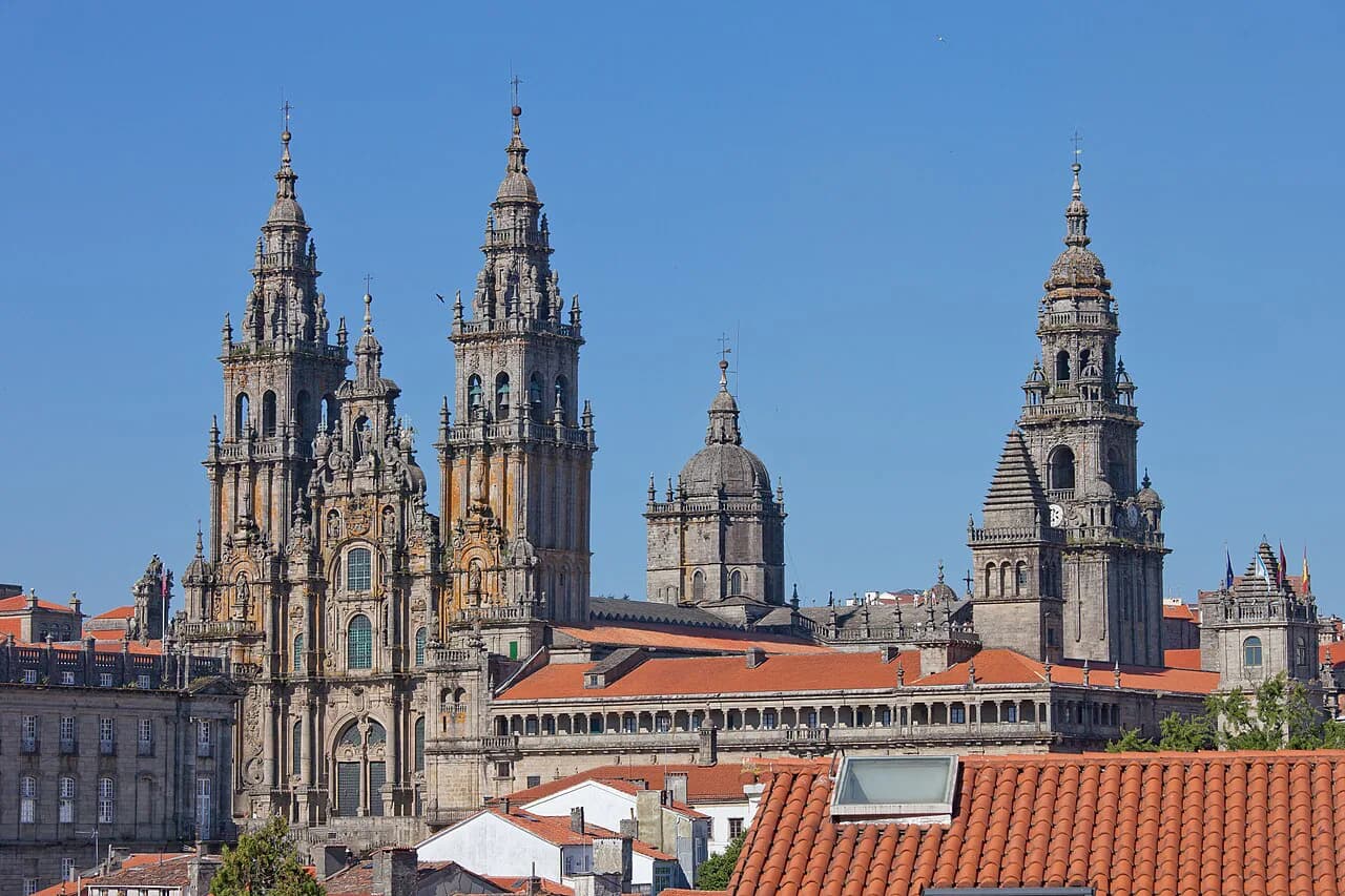
Everything on a Santiago map radiates from the cathedral, built between the eleventh and thirteenth centuries and today showing a baroque west façade, with the older Romanesque front preserved inside. The west door opens onto the Plaza del Obradoiro and the south door onto the Plaza de Platerías, which gives you two reliable entry points to fix yourself on the ground.
Inside, the Pórtico de la Gloria by Maestro Mateo dates from the twelfth century, and its restoration has brought back the colour on more than two hundred figures across three arches. Treat it as a mapped stop rather than a passing glance: it sits at the west entrance, so it is the natural first thing you meet coming in from the Obradoiro. The Botafumeiro, the old incense burner hung from the vault of the crossing and swung by six people, is in the same building, though when it is used belongs to the cathedral's own schedule.
The Plaza del Obradoiro: one square, four landmarks
The Obradoiro is the city's main square and the place pilgrims finish the Camino, entered from the cathedral through the Pórtico de la Gloria. At some 7,700 square metres, it is big enough that the buildings around it read as separate landmarks rather than one wall, which makes it the easiest orientation point on a paper map.
Facing the cathedral is the Pazo de Raxoi, an eighteenth-century neoclassical building ordered by Archbishop Raxoi as a seminary and choir residence, now the city hall and seat of the Galician government. Beside it stands the Hostal dos Reis Católicos, built by the Catholic Monarchs as a pilgrims' hospital and now a Parador, with a plateresque façade and four courtyards converging on a chapel. Completing the square are the Colexio de San Xerome, now the university rectory, and the Palacio de Xelmírez, the former episcopal residence folded into the cathedral museum.
The Plaza de Platerías: the Romanesque face of the cathedral
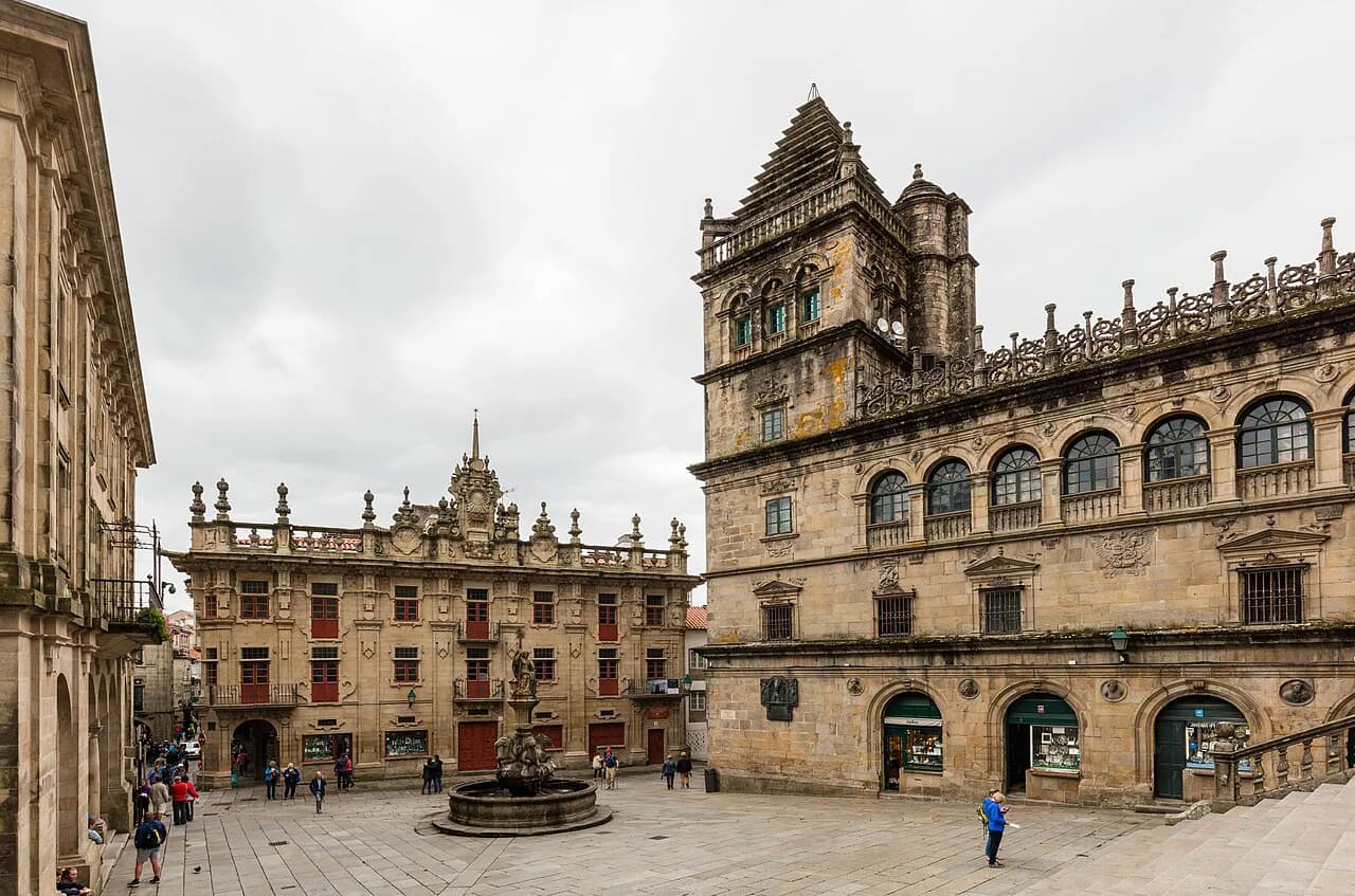
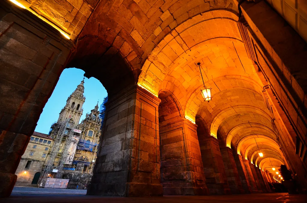
Platerías is the smallest of the four squares around the cathedral and takes its name from the silversmiths who worked here; silver and jet are sold in the surrounding shops. The south side is presided over by the only surviving Romanesque façade of the cathedral, which also holds a working entrance.
Flanking the square are the Torre del Reloj on the right and the Torre de Tesouro on the left. In the centre stands the Fuente de los Caballos, a baroque fountain of four horses spouting water, topped by a pedestal with the Arca Marmórica and a female figure holding the star of Compostela. Nearby, the Casa do Cabido is worth a look for its geometric decoration in the local baroque style.
The Plaza de la Quintana: two levels and two faces
On the cathedral's south side, the Quintana is split by a staircase into the Quintana de Vivos above and the Quintana de Muertos below, so a map needs to show it as one square with two halves. Look for the Casa da Conga on the south side, once housing for the cathedral canons, and the Casa da Parra opposite, named for the vine carved on its façade.
The Puerta Santa and the Holy Year
The Puerta Santa stands in the centre of the Quintana and is opened only in a Holy Year, when 25 July falls on a Sunday. The most recent such year named when the source was written was 2021, so treat the gate as a monument on the square rather than a fixed opening on a walking route. The Monastery of San Paio de Antealtares, an enclosed convent built at the same time as the cathedral, sits alongside.
The three streets that link the squares
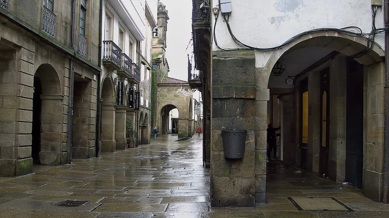
Rúa do Franco, Rúa Nova and Rúa do Vilar form the trilogy of streets at the heart of the old town, lined with stone façades and arcades sheltering shops and restaurants. Rúa do Franco is the one to plot first: it runs close to the cathedral and keeps you oriented while the arcades hide the skyline. If you want the streets walked and explained rather than simply crossed, a guided Santiago de Compostela walking tour covers the same ground with context.
Sights just outside the core
South of the centre, the Colexiata de Santa María do Sar is a twelfth-century Romanesque church associated with Diego Gelmírez in 1136 that keeps its original style unusually well, with a small museum of liturgical pieces beside it. Closer in, the Convento de San Francisco stands about 150 metres from the cathedral and recalls the pilgrimage of St Francis; the present baroque building houses a hotel, a museum and a pilgrims' hostel. The Monasterio de San Martín Pinario sits near the Azabachería façade, finished in the late eighteenth century and founded by Benedictine monks after the discovery of the Apostle's remains. All three are close enough to add to a walking loop on the map.
If the architecture of the old town raises questions about how the city grew around the Apostle's tomb, the background is worth reading before you arrive. A little Santiago de Compostela history makes the plaques and façades legible.
Some travellers prefer the squares and streets led by a local guide, with the cathedral's layers explained on the spot. Santiago de Compostela tours of the centre and its monuments can be arranged in advance around your own map.
The Cidade da Cultura: a separate leg of the day
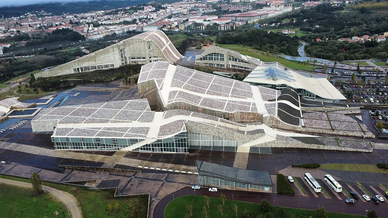
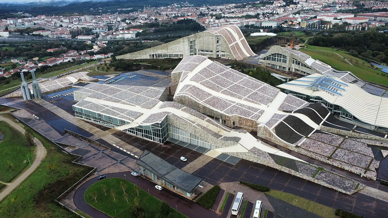
The Cidade da Cultura de Galicia sits on the summit of Monte Gaiás, well away from the old town, in a complex designed by Peter Eisenman and inaugurated in January 2011 at a cost of around 300 million euros. Because it is a hilltop site rather than a city-centre building, it cannot be slotted between two plazas: give it its own leg of the day on the map, and check how you will reach it from the centre before setting out.
Getting your bearings on paper
A printed map of the old town should carry four marks: the Obradoiro, Platerías, the Quintana and the Rúa do Franco spine. Add the Colexiata do Sar and San Francisco as a southward loop, and mark the Monte Gaiás complex separately so it does not pull you off course. With the squares named, the buildings on each one give you checkpoints when the streets bend and the arcades hide the cathedral.
The Camino routes map is a different thing
When you search for a Santiago de Compostela map, two different objects come up: a city plan of the old town and a routes map of the Camino de Santiago with its approach paths from across Europe. They answer different questions. The city plan gets you between squares; the routes map shows how walkers arrive, and this guide does not give distances or stage breakdowns for any route.
If the Camino itself is the plan, route choice, daily distances and fitness all matter more than the city plan. Start with the cathedral as the endpoint and work backwards; the old town's four squares will then be the reward at the end rather than the navigation problem.
What to mark on your map first
Start with the cathedral and its four plazas: Obradoiro for the arrival and the civic buildings, Platerías for the Romanesque façade and the fountain, Quintana for the two levels and the Puerta Santa, and the Rúa do Franco spine to link them. Then, if time allows, add the Sar church, San Francisco and San Martín Pinario as a loop south and north of the core. The Cidade da Cultura gets its own trip, not a detour between squares.
Frequently Asked Questions
What is the best area to use as a base on a Santiago de Compostela map?
The four squares around the cathedral are the most useful reference points: the Plaza del Obradoiro on the west, Platerías on the south, the Quintana alongside it, and the Rúa do Franco, Rúa Nova and Rúa do Vilar running between them. From those points you can locate the Pazo de Raxoi, Hostal dos Reis Católicos, Colexio de San Xerome and Palacio de Xelmírez without needing a signal.
Do I need a routes map as well as a city map?
Yes, if you are walking the Camino, because a routes map shows the approach paths into the city while a city plan of the old town shows the squares and streets around the cathedral. They serve different purposes, and the city plan is the one to use once you are inside Santiago de Compostela.
Where does the Cidade da Cultura appear on a Santiago map?
On Monte Gaiás, on a hilltop away from the old town, which is why it should be planned as its own leg of the day rather than squeezed into a walk between plazas. The complex was designed by Peter Eisenman and inaugurated in January 2011.
Is the Puerta Santa a fixed stop on a walking route?
No. It stands in the centre of the Plaza de la Quintana but is opened only in a Holy Year, when 25 July falls on a Sunday. The most recent such year named when the source was written was 2021, so treat it as a monument on the square rather than a guaranteed opening.
Where can I see the Botafumeiro on a map of the cathedral?
It hangs from the vault of the crossing inside the cathedral, so it is not a separate stop on the city map. When it is used follows the cathedral's own schedule, which is the thing to confirm before planning your visit around it.
Sources
Notes for your next Spanish town break
Optional updates to our guides.
You might also like

Continue reading
More guides you'll find useful