Alcúdia Map: Old Town Streets, Gates and Roman Pollentia
Use this Alcúdia map guide to place the medieval walls, Porta del Moll and Porta de Mallorca, Sant Jaume and Roman Pol·lèntia before you walk.
On this page
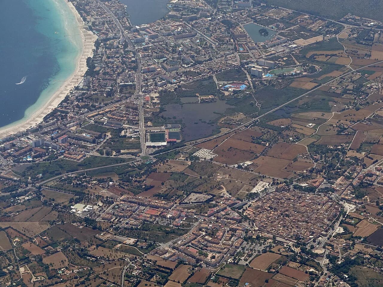
An Alcúdia map is easiest to read as three separate pieces: a walled peninsula old town, the Roman city of Pol·lèntia just outside its core, and the port about two kilometres away. Fix those three on the map first and the tangle of lanes inside the walls stops mattering; you navigate by gate and wall line instead of by street name. This guide sets out each piece in turn and shows how they connect on foot.
What an Alcúdia map shows: a walled peninsula, Roman Pol·lèntia and the port
Alcúdia sits on a peninsula in the north-east of Mallorca, and its historic centre is ringed by two successive wall lines: a medieval circuit and a Renaissance one, dating from the thirteenth and sixteenth centuries. That double ring is why the map looks denser than the town's size suggests, with gates, bastions and wall walks stacked around a compact core. Pol·lèntia, the excavated Roman city, lies outside the medieval core, so treat it as a separate stop rather than a corner of the old town.
The old town holds the churches, the Renaissance casals and the museums, while the port sits about two kilometres from the historic centre. That gap matters when you plan a day, because the port is a separate walk rather than a few minutes from the gates. Plot the old town as your anchor and treat everything else as a spur from it.
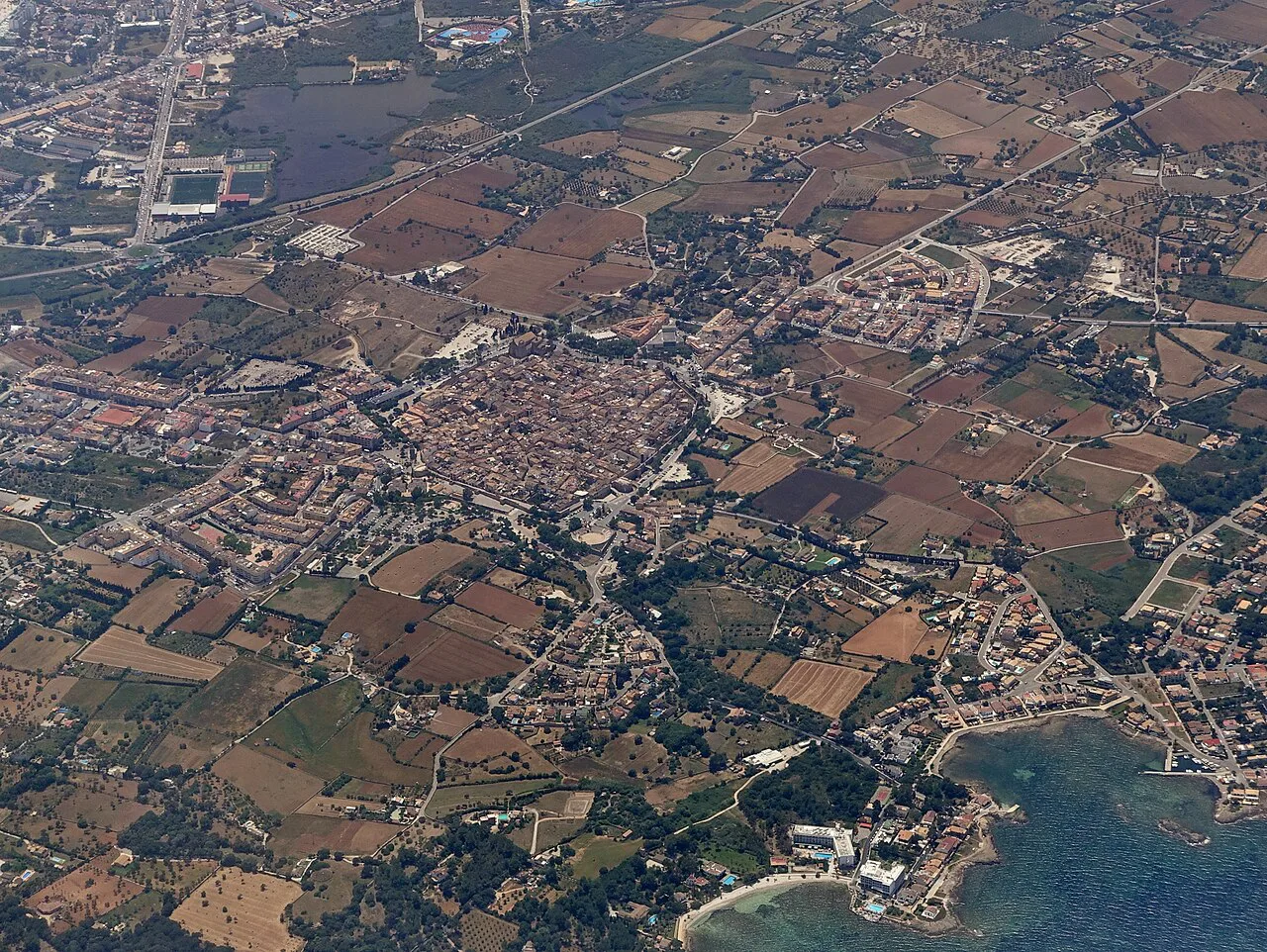
The walled centre at a glance: wall lines, gates and bastions
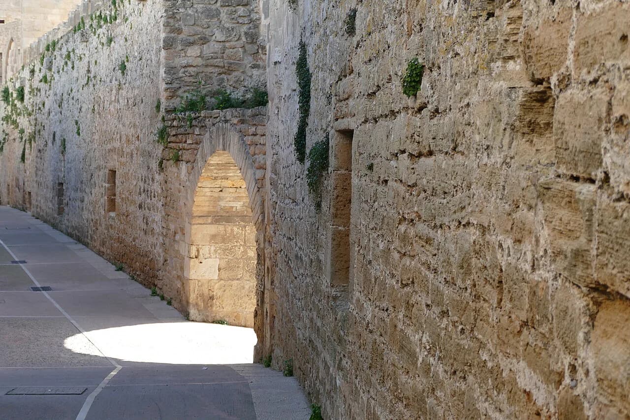
The walls are the town's most distinctive feature, and the route through the centre takes in the medieval and Renaissance circuits, their gates and bastions, the parish church and the most significant casals. If you only memorise one thing before arriving, memorise the wall ring: everything inside it is walkable in a single loop. The historic centre is protected as a Conjunto Histórico Artístico, which is why the street pattern has survived so intact.
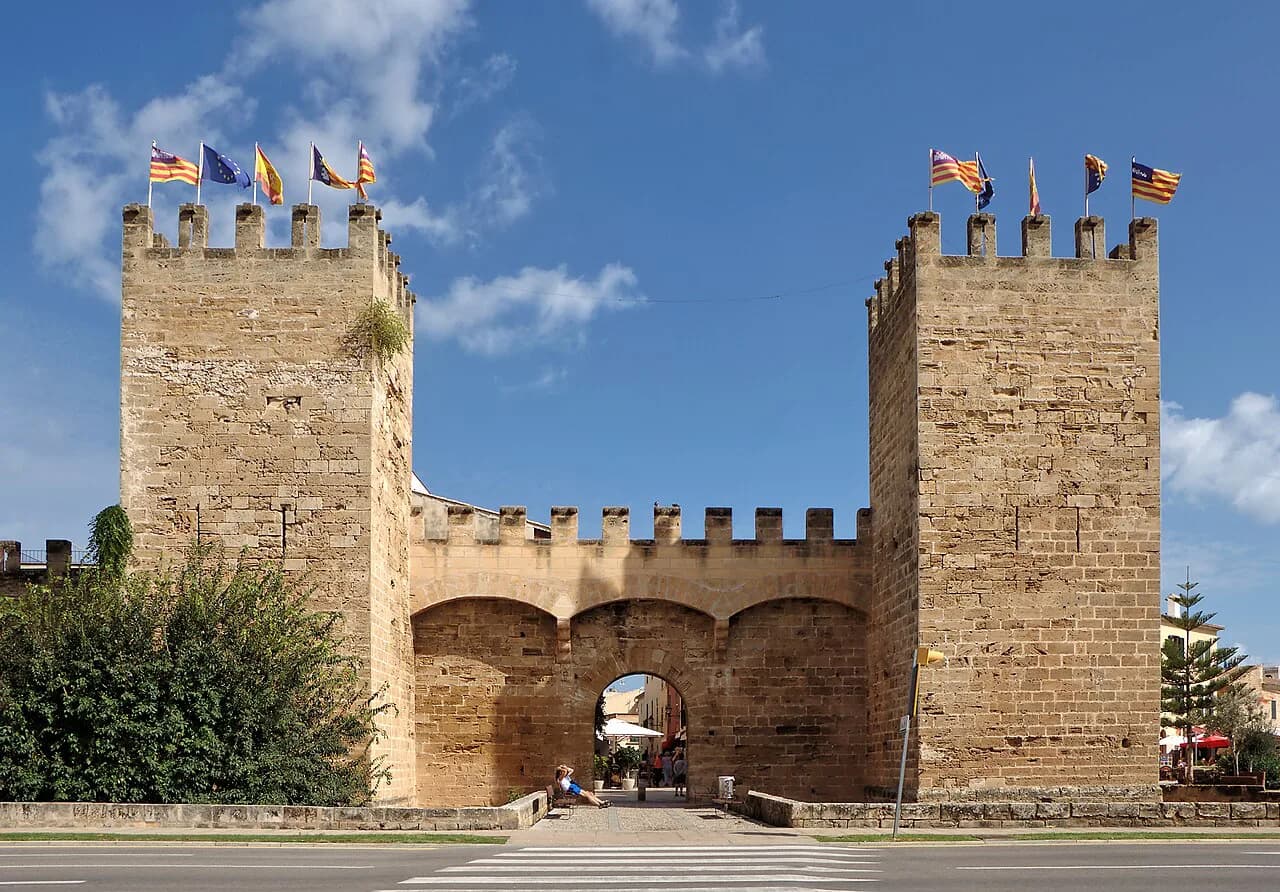
The two monumental gates are the landmarks worth circling on your map: the Porta del Moll and the Porta de Mallorca, both fourteenth-century and both declared monuments. Each is a working entrance to the old town rather than a museum piece, so they double as orientation points when you come back out. Between them, the lanes hold the casals, the churches and the small museums covered below.
Finding your way in through the Porta del Moll and the Porta de Mallorca
Start at one gate and walk to the other, and the old town orders itself. The Porta de Mallorca is formed by two watchtowers joined by a broad arch, and stepping through it puts you straight into the cobbled streets, traditional houses and the casals. The Porta del Moll still keeps part of its old portcullis mechanism, a detail worth looking up for as you pass under.
Whichever gate you choose, use it as your mental pin: from either one, the parish church and the wall walk are a short walk away, and the shops and cafés of the centre are within the same ring. If you are planning the wider visit around these entrances, the gates also make natural start and end points for the things to do in Alcúdia.
Two other pieces of the historic core are easy to slot in between the gates: the medieval wall of Alcúdia, which gives the town its shape, and the Renaissance casals such as Can Fondo, Can Torró and Can Canta, whose doorways and courtyards reward a slow pass. Mark them as points on the same loop rather than separate outings.
Inside the walls: Sant Jaume, the Capella del Sant Crist and the casals
The Església de Sant Jaume is the one building that changes how you read the map, because its structure forms part of the wall itself. The present church was built between 1870 and 1893, and it stands beside the medieval wall on the site of an earlier construction. Once you know that, the church stops being a separate sight and becomes part of the defensive ring you are already tracing.
Attached to the church is the Capella del Sant Crist, built at the end of the seventeenth century, and the Museu Parroquial occupies a room between the church and the chapel. Plot all three as one stop on your map rather than three separate entries, and allow time for the chapel as well as the nave.
Walking the 1,500-metre camí de Ronda on top of the walls
A walkway runs above the walls for about 1,500 metres, circling the town on the old patrol path. Treat it as a route in its own right rather than a viewpoint you dash up for a photo: the circuit takes you past the gates and bastions from above.
Plan the wall walk for the start or end of your day, when you want orientation rather than another church interior, and keep the gates in view as your exits. The circuit is exposed, so on a hot inland-style day in Mallorca, shade and water matter more than on the lanes below.
Where Pol·lèntia and the Teatre Romà sit outside the old-town core
The Roman city of Pol·lèntia lies outside the walled core and deserves its own line on your map. The Balearics came under Roman control in 123 BC under the consul Quintus Caecilius Metellus, and the excavated city is one of the most important Roman sites on Mallorca. Give it a separate block of time instead of squeezing it between the gates and the church.
Within the Roman site, the Teatre Romà is the only Roman theatre preserved on Mallorca, which makes it the single structure to find first if you are short of time. The archaeological site of the Roman city is the broader stop, so mark both on the same plot of your map and approach them from the old-town side.
The Monogràfic de Pol·lèntia museum and the Museu Parroquial: two small collections
The Museu Monogràfic de Pol·lèntia, run by the town council, displays archaeological pieces found in the Roman city, so it pairs naturally with the ruins themselves. Plot it beside Pol·lèntia on your map and use it to make sense of what you have just walked through. It is a small collection rather than a half-day museum, which suits a town break where the walls and the ruins are the main event.
The Museu Parroquial sits inside the parish church complex, so it belongs on the Sant Jaume stop rather than on the Roman side of town.
Old town versus the port: what the two kilometres mean for planning
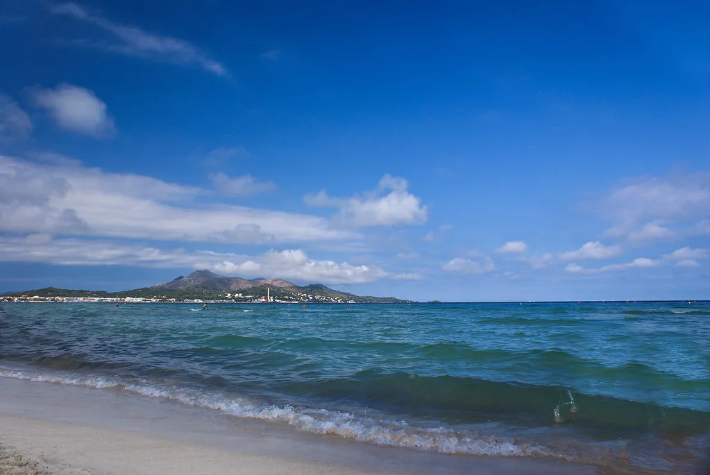
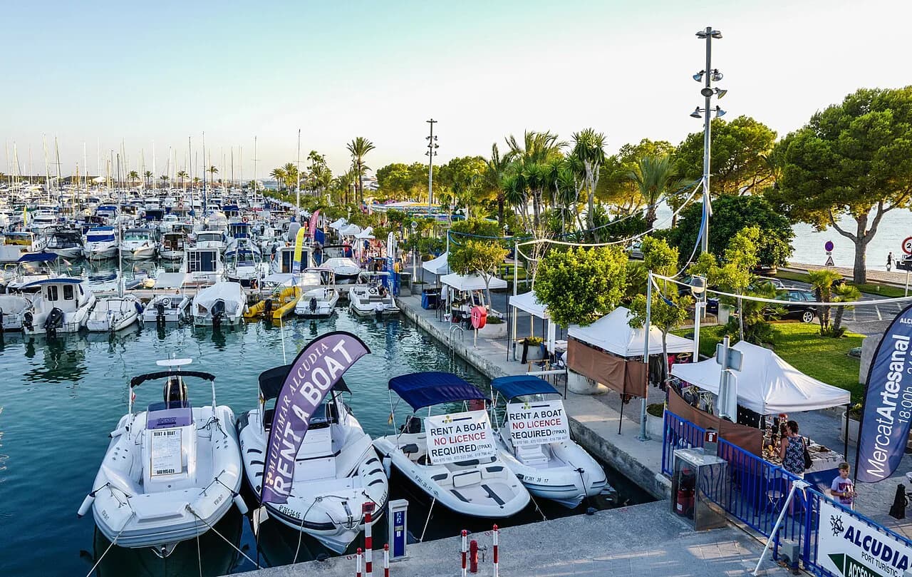
The port of Alcúdia lies about two kilometres from the old town, a marina with more than 750 berths in the Bay of Alcúdia. That distance is the single most useful fact on your map: the port is a separate walk or short drive, not a stroll from the gates, so decide in advance whether you are giving it its own slot. If you are, the Alcúdia boat trip options start from that side of town rather than from the walled centre.
For the old town itself, the shopping in Alcúdia sits inside the same ring of lanes as the churches and the casals, so it fits between sights rather than needing a trip of its own. Keep the port as a separate leg and the old town as a compact loop, and the map stops feeling stretched.
If you want green space between the walls and the water, the Alcúdia gardens and green spaces give you a place to break the walk out to the port. They are a pause on the route rather than a destination in themselves, so treat them as a marker between the two halves of town.
Parking and orientation: using the old town gates as your reference points
Park near one of the gates and you have solved orientation before you start walking. There is parking close to the Porta de Mallorca, with public electric-vehicle charge points in the same area, which makes that gate a sensible arrival point. Charges and capacity are not something to rely on from a map, so read the signs on arrival.
Once parked, use the gates as your bearings: from the Porta de Mallorca or the Porta del Moll you can reach the church, the wall walk and the casals without needing street names. Leave the car where it is and do the old town on foot; the distances inside the walls are short.
Reading the map with heat and closing days in mind
Opening times for Sant Jaume, the Museu Parroquial and the Pol·lèntia sites are not fixed for you here, so check the town council's own pages before you set out, and plan the indoor stops for the middle of the day when the sun is strongest. Mallorca's summer heat makes the exposed wall walk and the Roman site better in the morning or late afternoon, with the museums and church interiors saved for the hot hours. The one printed detail to hold on to is the church's construction span of 1870 to 1893, which tells you the building you are looking at is a nineteenth-century structure wrapped around an older defensive line.
Build the day in this order and the map does the rest: gates and casals first, church and museums in the heat, wall walk when it cools, then Pol·lèntia if you still have the energy for a second leg outside the core. If you want to extend beyond the town, Pollença old town is reachable in the same trip, but keep Alcúdia's old town as the day's centre.
Which gate should you start from?
Start at the Porta de Mallorca and finish at the Porta del Moll, or reverse it, and you will have crossed the old town once with the church, the casals and the wall walk all falling naturally on the way. Save Pol·lèntia and its museum for a separate block, and treat the port as a third piece about two kilometres off rather than a corner of the same walk.
The map only pays off if you use the gates as anchors and check the current opening times for the church, the two museums and the Roman site before you go. That way the walk is planned around what is actually open, not around a list of names.
Explore more Alcúdia guides
Sources
Notes for your next Spanish town break
Optional updates to our guides.
You might also like
Continue reading
More guides you'll find useful