Almería Map: Old Town, Alcazaba and Main Sights by Area
An Almería map for visitors: how the Alcazaba, old town, cathedral block and specialist museums sit together on foot, and the streets that link them.
On this page
Read an Almería map as three layers and the city organises itself at once. The Alcazaba sits on its hill, the barrio andalusí spills down the slope beneath it, and La Medina and the cathedral block fill the flat ground below, with the Paseo de Almería cutting through the modern centre as the long spine visitors use to orient themselves. This guide groups the main sights by those layers, then sets a walking order that works downhill rather than zig-zagging back up.
The city concentrates a surprising amount into a compact centre: one hill fortress, a cathedral that doubles as a defensive block, a former main mosque now a church, and a spread of specialist museums that sit in different neighbourhoods rather than on one street. The paths between them matter as much as the sights, because Puerta de Purchena and the Paseo connect nearly everything. Where a sight could be any of several routes, start with this guide to things to do in Almería before committing an itinerary.
What the Almería map shows at a glance
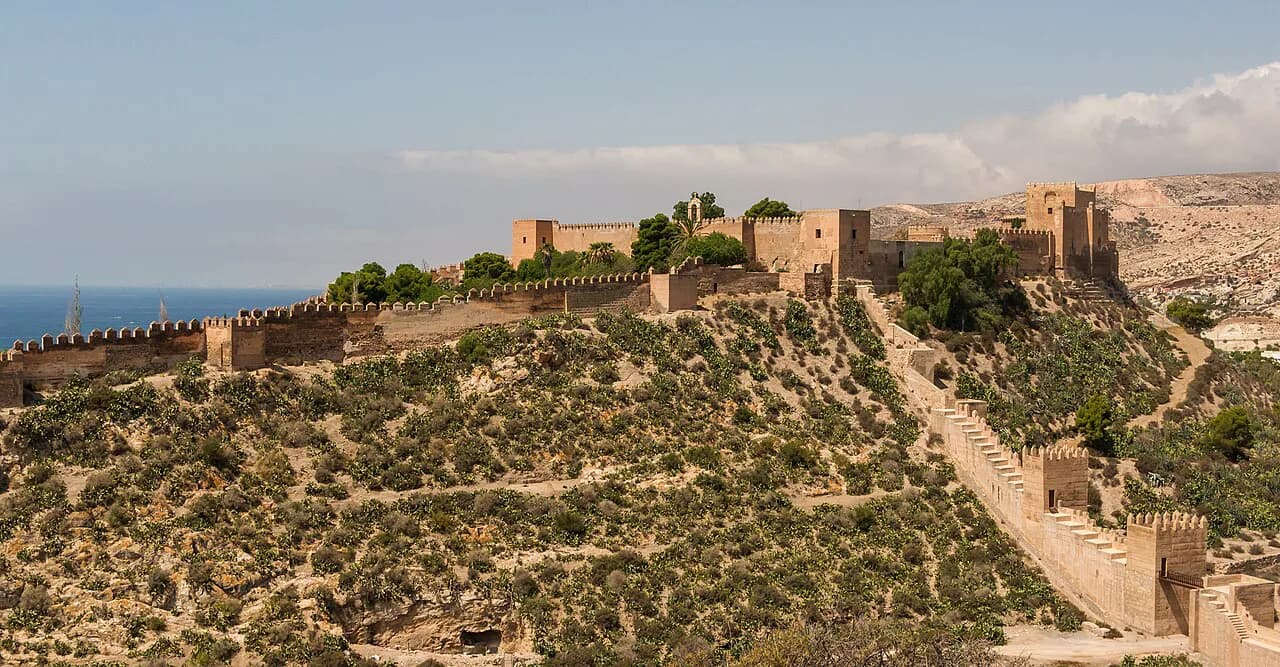
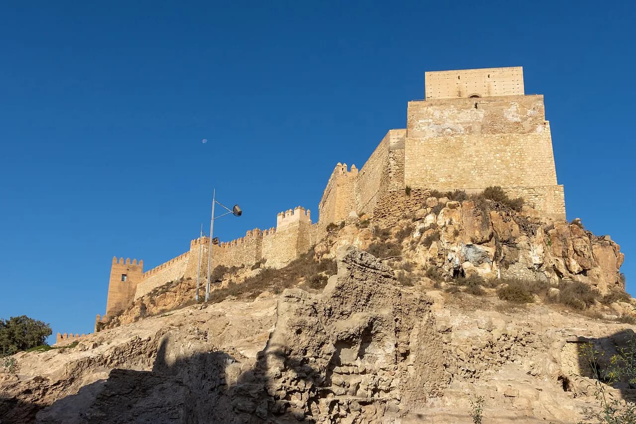
The single most useful orientation point is the Alcazaba, the medieval fortress on the hill above the centre. From there the historic core steps down through the barrio andalusí toward La Medina and the cathedral, while the Paseo de Almería runs through the commercial city as a broad straight line linking the main nodes. Treat the hill as the top of your map and everything else as descending from it.
Almería city's own tourism portal publishes a map of the site with sections for transport, city movement, guided visits and a suggested one-day route through the main sights. It also lists audioguides and a walk along the Paseo de Almería, which is a sensible way to see how the city presents its own geography before you fix a plan.
Two spines do the connecting work on any visitor map. The Paseo de Almería is the modern axis, wide and easy to follow, while Puerta de Purchena functions as the hinge between the newer city and the historic core. If you can place those two on your map, you can find almost everything else by reference to them.
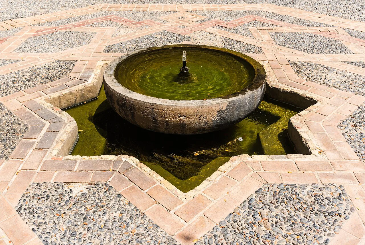
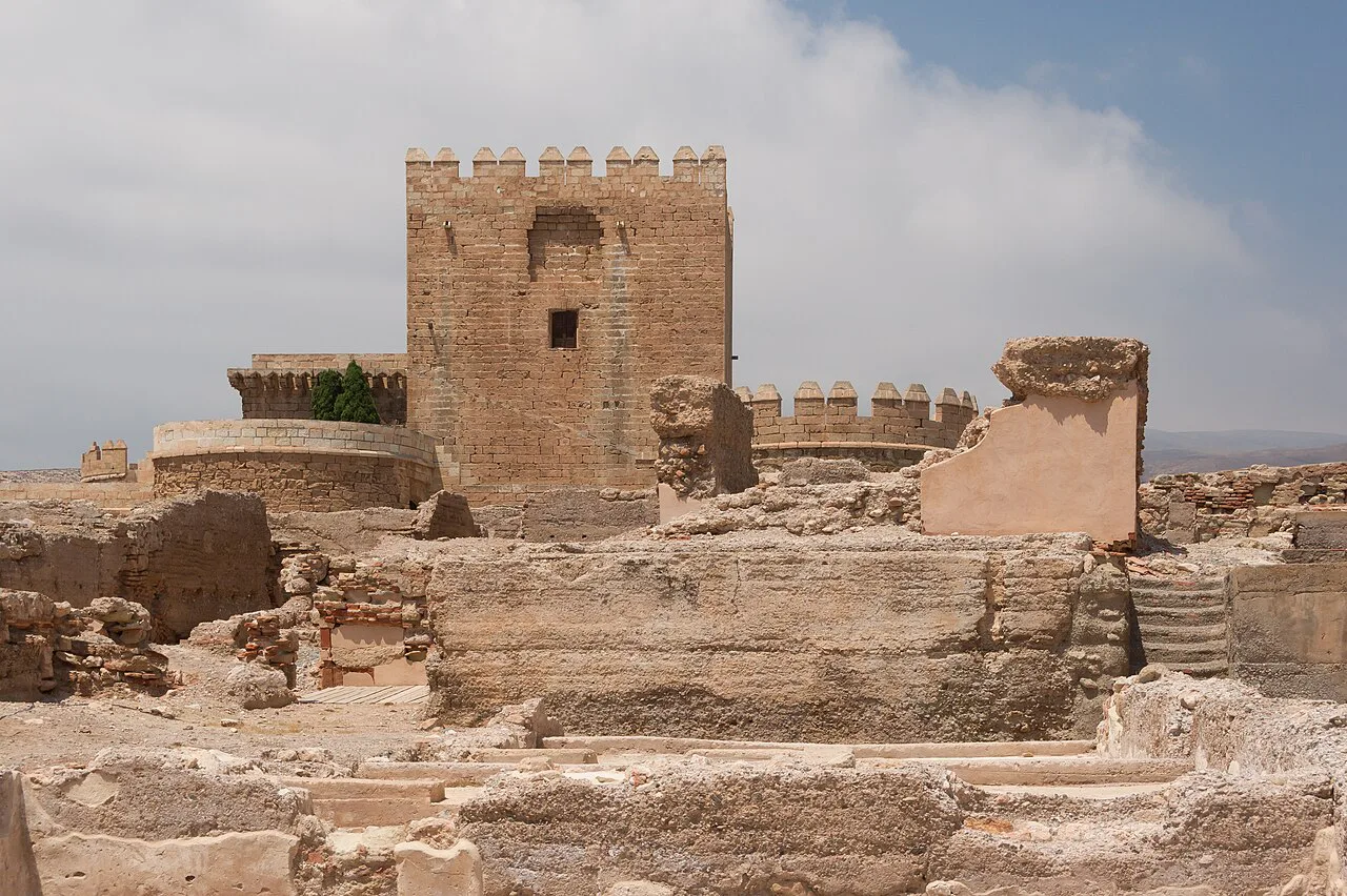
The Alcazaba and Cerro de San Cristóbal: the highest point
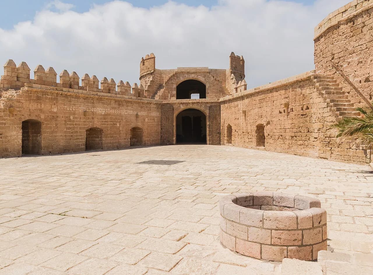
The Alcazaba gives Almería its medieval skyline and its best-known viewpoint over the city and the port. Climbing to it first is a deliberate choice: you gain the layout of the whole centre in one look, and afterwards every street below makes sense in relation to the hill. The walk up is the steepest part of a day in the old town, so do it early while legs and temperatures are fresh.
The fortress is the anchor of the old town, and the surrounding slope is where the urban fabric is densest. For a fuller account of that quarter, work through the guide to Almería Old Town and the streets around it before deciding how long to give the hill.
Beneath the fortress, the barrio andalusí preserves the street pattern of the Islamic town, with archaeological remains that show how the city was layered across periods. The Muralla de Jayrán, a stretch of the old defensive wall, reads on the map as a line on the hillside rather than a single monument, and the Cerro de San Cristóbal above gives the wider view back over the Alcazaba and the sea. Pair the wall with the viewpoints if you want the full circuit of the hill.
La Medina and the cathedral block
La Medina is the historic heart on the flat ground below the Alcazaba, and it holds the tightest cluster of monuments in the city. The Catedral de Almería stands here, built as a fortified church with walls and towers as much as a nave, and a short walk away is the Iglesia de San Juan, which served as the Mezquita Mayor before the Christian conquest. Seeing the two together shows how the city's religious buildings were adapted rather than replaced.
Puerta de Purchena is the gateway between this historic core and the modern city, and it works as a meeting point and a navigation marker on any map. From here you can reach the cathedral, the churches and the historic streets without needing to consult a screen. The guide to Almería Old Town covers this block in more detail if you want to slow down inside it.
The Aljibe quarter and the interpretative stops
The Aljibe quarter takes its name from the great Arab cistern, the Aljibes Árabes de Jayrán, which survives as a tangible piece of Islamic infrastructure. Nearby, the Centro de Interpretación Patrimonial sets out the layers of the city's history, and the Refugios de la Guerra Civil, the air-raid shelters from the Spanish Civil War, add a twentieth-century chapter to the same neighbourhood. Taken together these give the Aljibe area a compact run of interpretative stops.
That combination is useful: the cistern gives you the physical remnant, the interpretation centre gives the chronology, and the shelters give the modern contrast. Andalusian cultural tourism guidance recommends guided visits because they knit together the Arab and Christian layers of the city, and groups these sites with the Alcazaba and the cathedral as the essential circuit. Plan the interpretative stops around the same half-day as the hill.
The museum spread: five specialist stops
Almería's museums are spread across different neighbourhoods rather than gathered in a single quarter, so the map matters here more than anywhere else in the city. The Museo de la Guitarra Antonio de Torres ties to the city's craft tradition of guitar making, the Museo de Arte de Almería covers regional modern and contemporary work, the Casa Museo del Cine documents the film industry that used the province as a backdrop, the Centro Andaluz de la Fotografía focuses on photography, and the Museo del Realismo Español Contemporáneo holds a specialist collection.
The practical result is that no single museum day exists; each stop pairs with the streets around it. A visit to the guitar museum, for instance, can be combined with the neighbouring churches, while the cinema museum sits in a different part of the city with its own local context. Group each museum with the area it occupies and let the map decide the order.
Almería's wider attraction set is short enough to keep in your head alongside the map, and a compact hub of Almería Attractions helps you choose which single sight deserves its own afternoon.
The Paseo de Almería and Puerta de Purchena as connecting spines
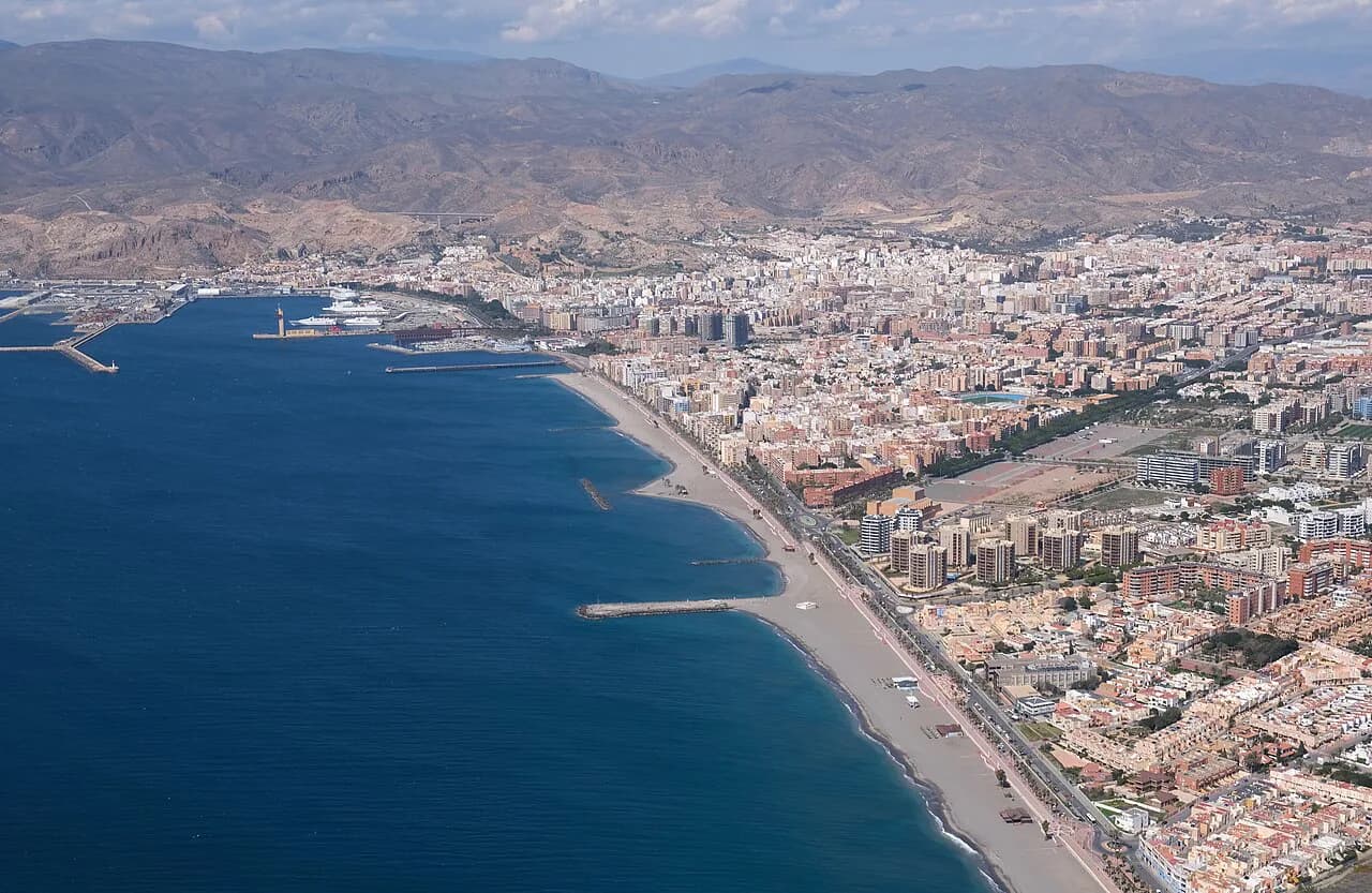
The Paseo de Almería is the long, straight spine of the modern city, leading toward the port area, and it is the easiest line to follow if you lose your bearings. Puerta de Purchena anchors its historic end, which makes the pair a reliable compass: find either and you can place the cathedral, the Alcazaba and the main streets around them. The city tourism portal lists a dedicated route along the Paseo if you want to walk it deliberately.
Churches and convents as waypoints
Almería's churches, convents and shrines are spread across the city rather than clustered, so they make good waypoints between the larger sights. The Santuario de la Virgen del Mar stands by the water, while the Convento de las Claras, the Convento de las Puras and the Compañía de María sit in more central neighbourhoods, and some convents have been adapted with information panels or serve as exhibition spaces.
Some of these buildings have changed function over the centuries, moving from mosque to church, or from convent to interpretation space, which is exactly why they reward a stop rather than a glance from the street. Following them also pulls you into neighbourhoods such as the Aljibe that you might otherwise skip. Use them on the map as connective tissue between the major monuments.
Walking order for a single day, downhill
Start at the Alcazaba for the view and the medieval setting, then descend through the barrio andalusí past the Muralla de Jayrán into the Aljibe quarter. Take the cistern, the interpretation centre and the Civil War shelters as one block, then continue to La Medina for the cathedral and the Iglesia de San Juan around Puerta de Purchena. Finish on the Paseo de Almería, where the modern city and its cafés give you somewhere to sit.
The logic is simple: you climb once, at the start, and every later stop is level or downhill. That matters on cobbled streets and in summer heat, and it avoids the wasted effort of returning up the hill after lunch. If you only have an afternoon, cut the museum spread and keep the hill, the Aljibe quarter and the cathedral block.
What to plan around: closures, cobbles and heat
Some of Almería's museums and monuments close on Mondays, so a Monday itinerary is worth checking against published timetables before you set out. The historic centre is paved with cobblestones and set on a slope, which makes comfortable shoes the practical choice rather than a nicety. Midsummer midday heat in Andalusia can be fierce, so shift the hill and the walking to the morning and keep the afternoon for interiors.
Access patterns differ: some museums and monuments keep standard weekday and weekend hours, but individual spaces may close on Mondays, keep shorter tourist hours or close during services, so check each one against its own published information rather than assuming one rule for all. For background on how the city layers up, the guide to Almería history fills in the periods behind the map.
Using the map for the wider province
The Costa de Almería provincial tourism site publishes interactive maps and themed layers for the province, covering places of interest, monuments, castles, museums and trails alongside the coast. It is the right reference once you leave the city, because it plots the inland pueblos and the coastal settlements on the same system. Use the city map for the old town and this one for the province.
Which part of the Almería map to start with
Begin with the Alcazaba on the hill, then work downhill through the Aljibe quarter and La Medina to the Paseo de Almería. That one line covers the fortress, the cistern, the cathedral block and the city's main spine without ever walking back uphill. Add the specialist museums only if your map reading shows you have the time to cross neighbourhoods.
Explore more Almería guides
Frequently Asked Questions
Which towns in Almería province are worth plotting on the map?
The provincial tourism maps group the coast and the inland pueblos by theme, including castles, monuments and trails. Use them to see where a place sits relative to Almería city before you decide on transport.
How expensive is a visit to Almería's sights?
Ticket prices vary by monument and museum, and some spaces have free-entry slots. Check each venue's own published information before you go, because the figures are not uniform across the city.
Is Almería the hottest part of Spain?
The provincial tourism board promotes the area's sunshine and mild average temperatures, but it does not rank Almería against other Spanish regions. Plan around heat by using mornings for the hill and afternoons for interiors.
What is the prettiest village in Almería province?
That is a matter of taste rather than something a map settles. The provincial tourism maps list inland pueblos and coastal places by interest, so browse them and pick according to what you want to see.
Sources
Notes for your next Spanish town break
Optional updates to our guides.
You might also like
Continue reading
More guides you'll find useful