Ibiza Town Map: Dalt Vila, the Port and the Old Town Streets
Place Dalt Vila, the port and the Marina quarter on the map, see how the quarters connect on foot and pick the right base for a short break in Eivissa.
On this page
Ibiza Town is a walled hill sitting directly above its harbour, which is why a map of the town reads as a stack of layers rather than a flat grid. Get that vertical relationship straight and Dalt Vila, Sa Penya, La Marina and the modern waterfront fall into place before you leave the airport bus. This guide lays out the quarters area by area, explains how they connect on foot and identifies the downloadable street and island maps worth carrying.
Eivissa is the Catalan name for Ibiza Town, and it is the name you will see on street signs and maps. If you are comparing things to do in Ibiza Town, work from the old town outwards rather than trying to cover the whole municipality in a day.
What the Ibiza Town map shows first
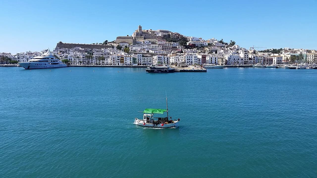
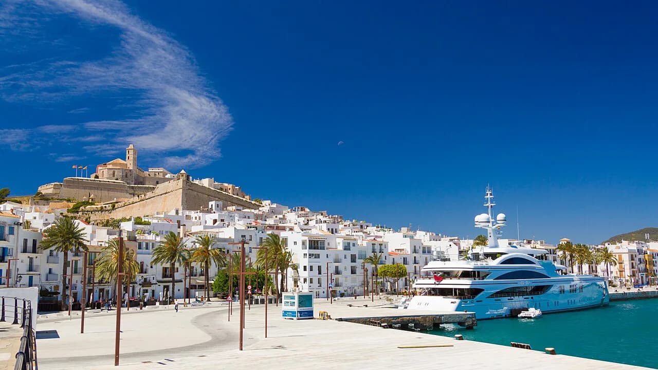
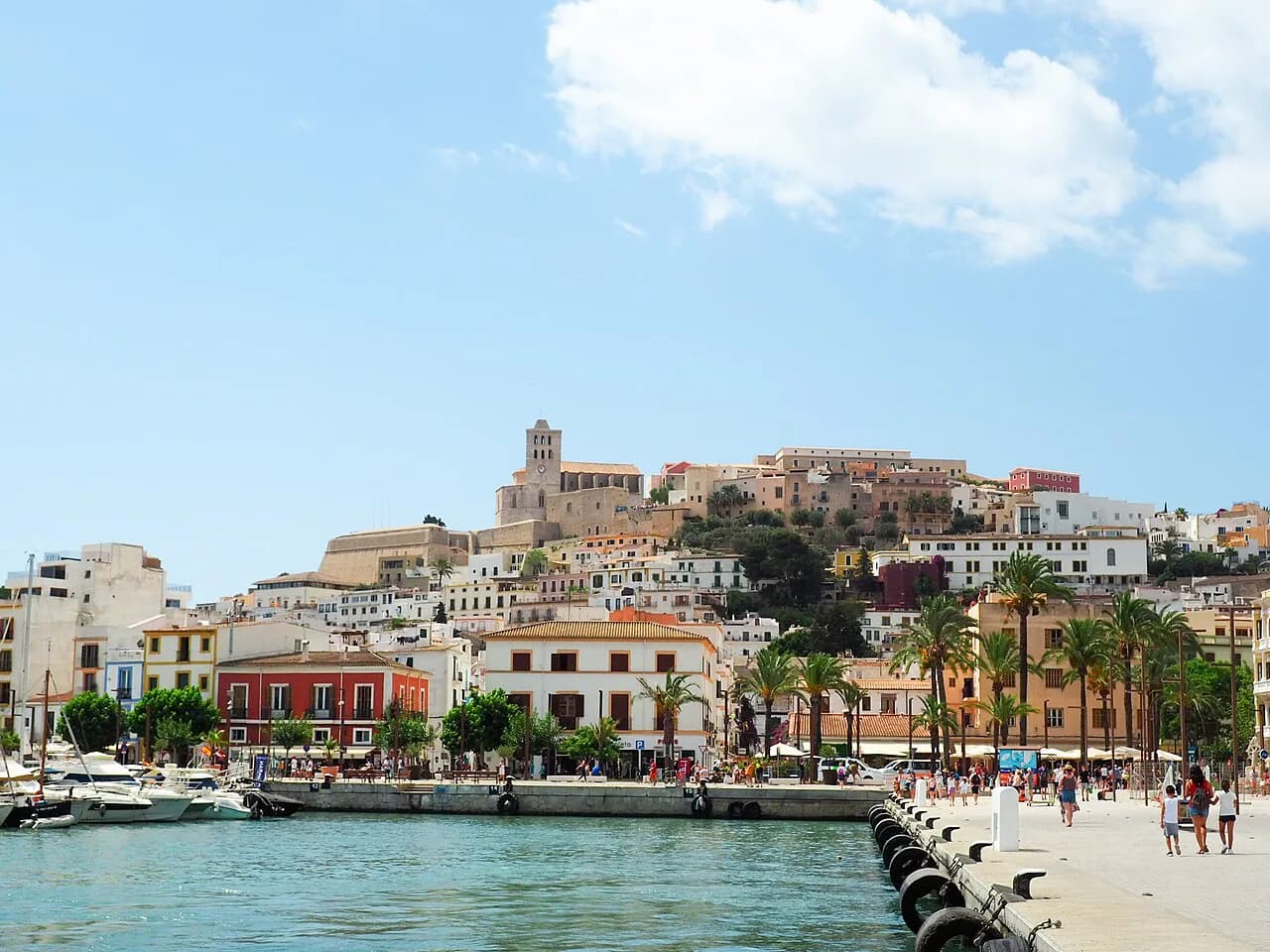
The centre of the map is the harbour, with the walled hill of Dalt Vila rising immediately west of it and the marina running north along the water. Everything else — the lower quarters pressed against the walls, the modern streets behind them — is arranged around that harbour-and-hill pairing. It helps to think of the town as two rings: the historic core at the water, and the newer neighbourhoods wrapping round it.
Several downloadable plans of the town are available, including a city street plan and a separate plan of Dalt Vila. One guide page offers a general map of the island alongside a more interactive version you can keep on your phone during the trip.
The town maps bundle a lot into a small area: the walled hill, the two lower quarters, the waterfront promenade and the surrounding districts all sit within a short stretch. A single sheet therefore shows much of what a short break covers, which is useful when you are deciding whether a quarter earns its own half-day.
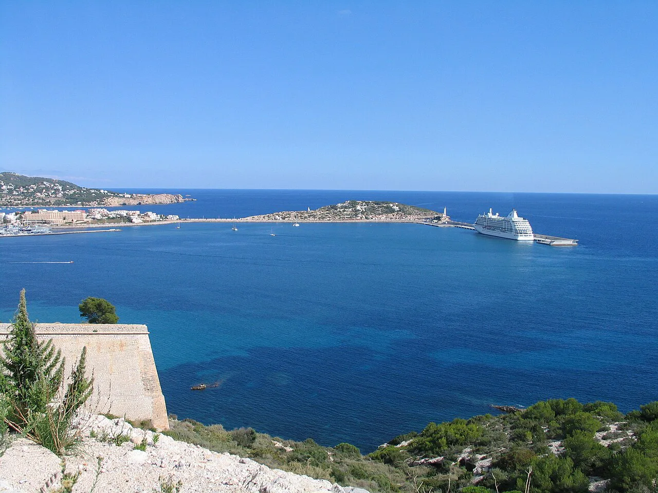
Dalt Vila: the walled old town and its gates on the map
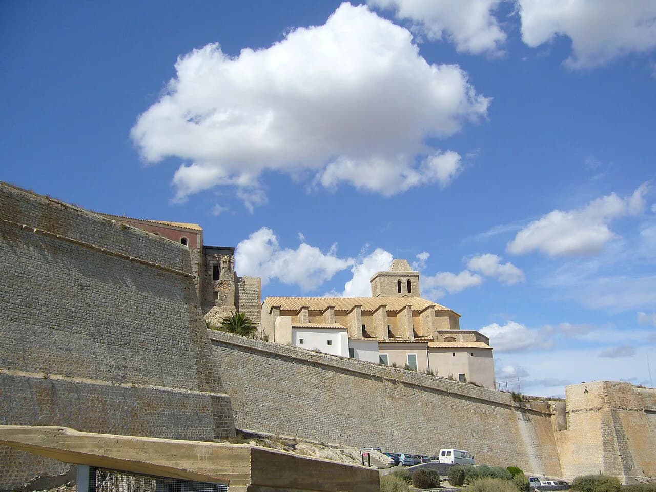
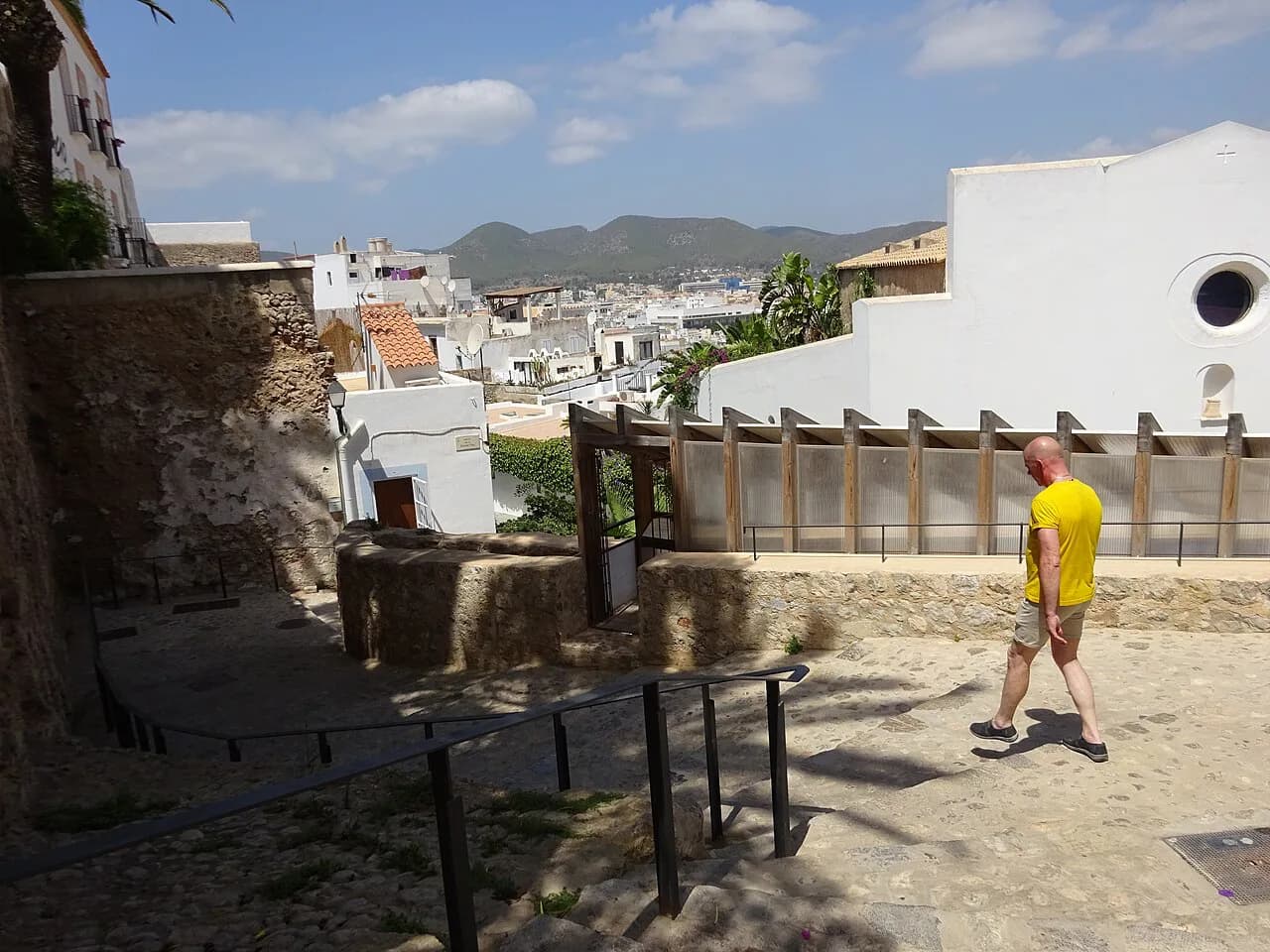
Dalt Vila is the fortified upper town, the part that makes Ibiza Town's layout distinctive. On the map it appears as a compact, enclosed shape on the hill, reached through gates in the walls rather than through open streets. The main approach from the harbour side climbs from the lower quarters to the Portal de ses Taules.
Because the whole quarter sits at height, the map understates the effort: a short distance on paper can mean a sustained climb on cobbles. Treat Dalt Vila as a single block of time rather than something you dip into between other stops, and plan any visit for the morning or late afternoon when the heat is less punishing.
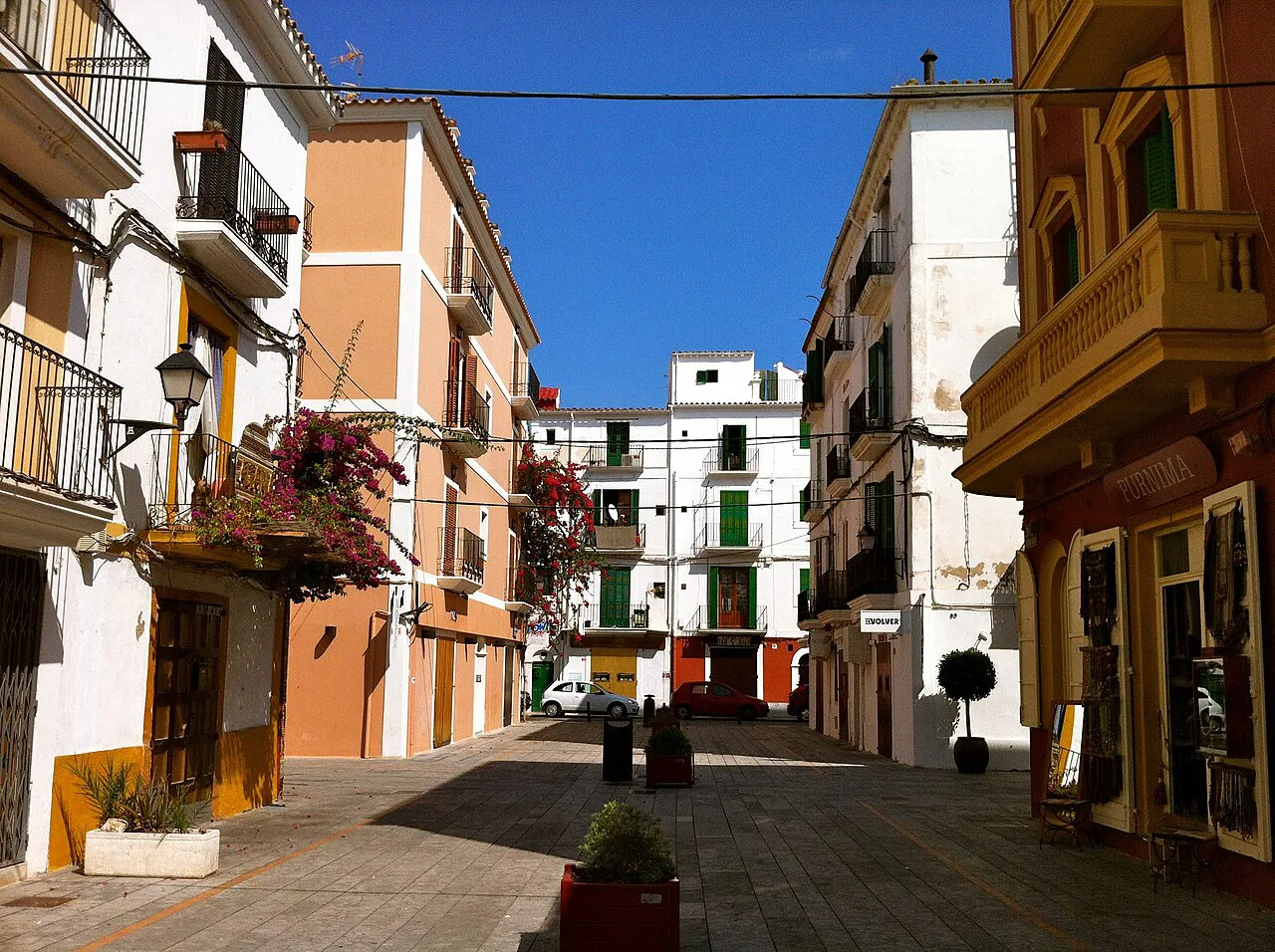
Sa Penya and La Marina: the lower quarters between the walls and the harbour
Below Dalt Vila, two quarters fill the strip between the walls and the water. Sa Penya occupies the southern end near the harbour mouth, while La Marina runs further round by the boats. On the map they look like narrow bands, and that is accurate: they are tight, densely built streets where a wrong turn costs a few minutes rather than half an hour.
These quarters are the closest thing to a natural base for the old town, since you can walk from them to the gates of Dalt Vila without needing transport. If you have an afternoon spare, browsing the shopfronts along these lower streets is a gentle way to see the quarter without committing to the climb.
Es Soto (Puig de Vila) and the Paseo Marítimo: the modern edge of the centre
Behind the old town, Es Soto — also called Puig de Vila — is the wider area on the hill's landward side, where the streets straighten out and the town behaves more like a normal modern city. The Paseo Marítimo is the waterfront promenade along the harbour, the flattest and easiest part of the centre to walk. On a map, the pair mark the transition point: cross them and you have left the historic core.
This is where the older town meets the newer one, so it makes sense to tackle it after the walled quarter rather than before. It is also where you will find the flattest stretch for an unhurried look at the harbour side of town.
Talamanca and Ses Figueretes: the nearest neighbourhoods beyond the centre
Two districts extend the centre north and south. Talamanca lies beyond the harbour to the north-east, and Ses Figueretes — often shortened to Figueretas — runs south from the old town towards the outlying coastal strip. Both appear on the town's downloadable plans alongside Dalt Vila and the city street layout.
On a map these look close, and they are in straight-line terms, but the harbour adds a detour to any walking route to Talamanca. Factor that in before promising yourself a stroll from the old town to the far side of the bay.
How the areas connect on foot
The historic centre is genuinely walkable: Dalt Vila, Sa Penya and La Marina sit within a few hundred metres of each other, and the Paseo Marítimo links the harbour to the lower streets. A walking tour is the most efficient way to cover the core, since the quarters flow into one another without needing transport.
The break in the pattern is Talamanca, which sits on the far side of the harbour and needs a longer walk or a short hop in a taxi. Ses Figueretes is simpler, heading south from the old town, but the climb back up into Dalt Vila still has to be paid for in effort. Plan one route outwards and one back, rather than zig-zagging across the harbour.
Where to find downloadable maps: the city street plan and the Dalt Vila plan
Downloadable maps are the most practical option in a town this dense, since you can keep them on your phone while you climb. One guide page lists a callejero of the city, a separate Dalt Vila plan, a tourist map of the city of Ibiza, and plans for Talamanca, Santa Eulària and Sant Antoni.
Another source gathers the island's main points of interest into a single interactive map that you can save to your phone before travelling. That makes it a sensible companion to a printed street plan of the town itself.
An interactive town map is also available, with clickable icons linked to photographs and further information on each place, and zoom and scroll controls for moving around it. It is a useful way to check how far apart two sights are before you commit to a route.
Download the Dalt Vila plan before you go and keep it offline, because the narrow streets are where you are least likely to want to be navigating a browser. A printed street plan of the lower town is a cheap backup.
Reading the island map: where Ibiza Town sits
Zoom out and Ibiza Town sits on the east side of the island, with Santa Eulària des Riu further along the same coast and Sant Antoni de Portmany across on the west. Sant Joan de Labritja lies to the north, with Es Canar and Portinatx appearing on the downloadable plans as well. That geography explains why the town works as a base for the eastern half of the island.
The island plans listed alongside the town maps include Santa Eulària, Sant Antoni, Portinatx and Es Canar, so the same download covers a day out beyond Eivissa as well as the old town itself.
Practical layout notes: buses, the harbour and the climb
The harbour is the anchor for orientation. Buses and the main transport links arrive near the water, which puts you within walking distance of La Marina at the foot of Dalt Vila. From there the old town is uphill and the modern streets are flat, so decide which way you are heading before you set off.
Maps of the island's bus lines are distributed in the same set as the town plans, which makes it straightforward to work out how the centre connects to the rest of the island before you arrive.
Two practical rules follow from the layout. Do the walled quarter while you still have energy, then the flat waterfront afterwards; and keep a downloaded plan on your phone, since the narrow lanes of Sa Penya and La Marina are the easiest place in town to lose your bearings.
Choosing where to base yourself from the map
The old map answers the where-to-stay question only indirectly, but its shape is a useful filter. La Marina and Sa Penya put you at the foot of the walls with everything in the centre within a walk, at the cost of tight streets and a climb whenever you head up into Dalt Vila.
Ses Figueretes and Talamanca give you a flatter, more open grid, but you trade the immediate old-town atmosphere and still face the harbour detour from Talamanca. Puig de Vila suits anyone who wants the modern town's convenience with the historic core a short walk away.
Which Quarter Belongs on Your Map First
Start with Dalt Vila, then work down through Sa Penya and La Marina to the Paseo Marítimo, and leave Talamanca and Ses Figueretes for a separate outing. That order follows the town's own geography, saves you from climbing twice and keeps the flat walking for when your legs need it.
Carry the Dalt Vila plan on your phone, keep a printed street plan as backup and use the island bus maps before you commit to a route beyond the centre. Then check the day's details with the operator or venue before you set out.
Frequently Asked Questions
Is Ibiza Town the same as Ibiza?
Ibiza is the island; Ibiza Town, called Eivissa in Catalan, is its capital and the walled historic centre on the east coast. The town's map covers Dalt Vila, Sa Penya, La Marina and the waterfront.
Where is Ibiza Town on the island map?
Ibiza Town sits on the east side of the island, with Santa Eulària des Riu along the same coast and Sant Antoni de Portmany on the west. Downloadable island plans show it alongside Sant Joan, Es Canar and Portinatx.
Can you walk between Dalt Vila and the port?
Yes. The old town rises directly above the harbour, and Sa Penya and La Marina fill the space between the walls and the water. Expect a climb into Dalt Vila and flat walking along the Paseo Marítimo.
Sources
Notes for your next Spanish town break
Optional updates to our guides.
You might also like
Continue reading
More guides you'll find useful