Maro, Nerja: the White Village Above the Cliffs
Maro is a small white village east of Nerja, set above the Maro-Cerro Gordo cliffs. Here is what to see, how the lanes work and how it fits a short break.
On this page
Maro is a small white village east of Nerja, set just inland from the Maro-Cerro Gordo cliffs, and it needs about an hour on foot rather than a whole day. The point of the place is the village itself — lanes, church square and the valley below — with the cliffs as the second act. This guide covers where Maro sits, how to reach it from Málaga and Nerja, what to walk in the village, and the cliff and cove options that start from the road. It sits within the wider set of things to do in Nerja, but Maro is a separate excursion by road.
What Maro is and where it sits
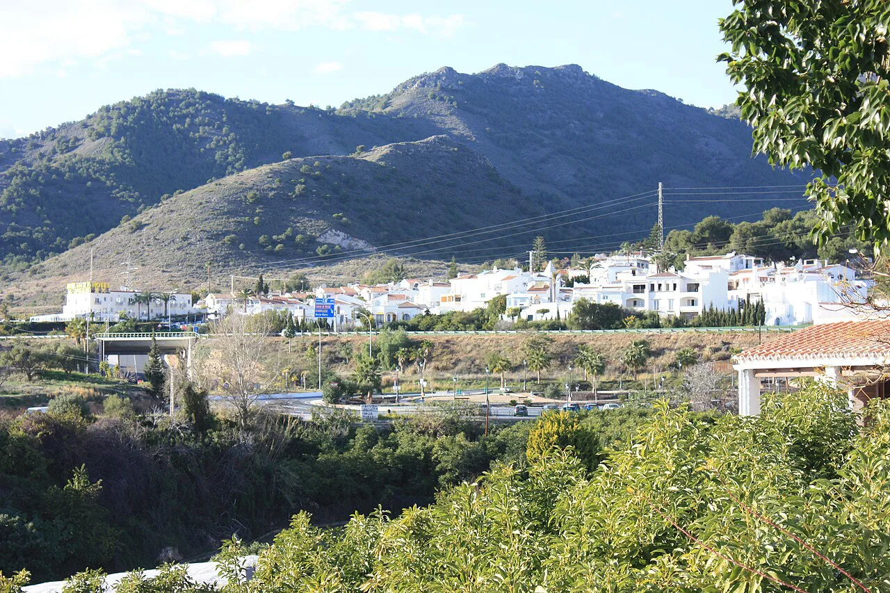
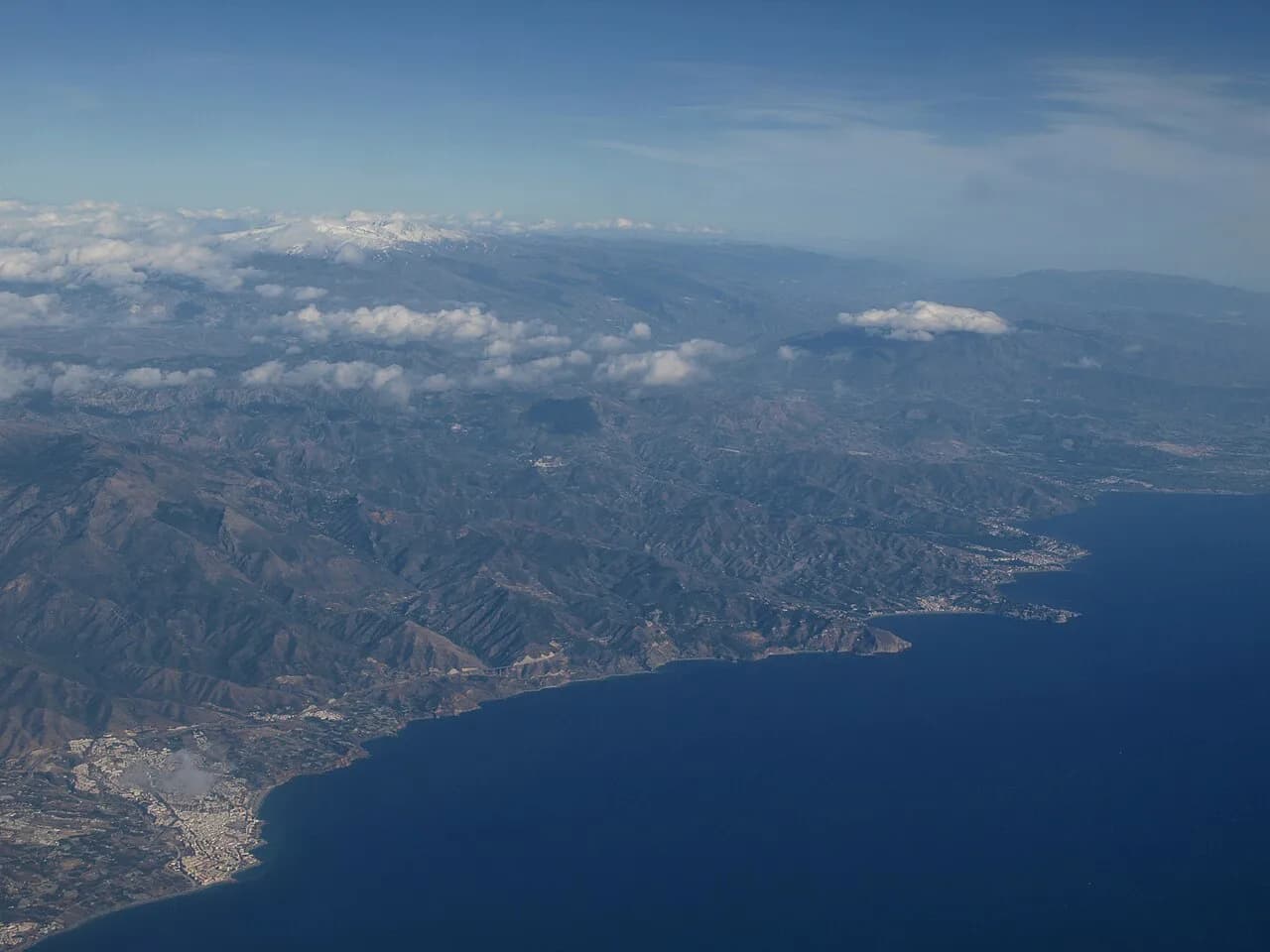
Maro belongs to the municipality of Nerja and lies on the coast road running east towards Almuñécar, in the Axarquía comarca of Málaga province. Driving from Málaga takes around an hour via the Mediterranean motorway, leaving at exit 292 and following signs for Maro, Nerja and Almuñécar before turning onto the N-340 towards the village. The last stretch is signposted locally, and the protected natural area begins where the village ends, so the car park in Maro is where a car stops.
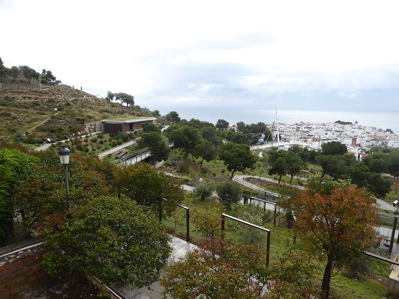
Treat Maro as a village to walk rather than another Nerja beach suburb: the streets are short, the church square anchors the centre, and the countryside of small plots and river valley sits immediately behind it. Because the surrounding cliffs are a protected paraje natural, vehicles cannot continue beyond the designated parking, which keeps the approach on foot. That makes Maro a natural half-day pairing with the old town and Balcón de Europa rather than a stand-alone destination.
How to get to Maro: the coastal road and the bus link from Málaga
By car, the route from Málaga runs on the A-7 coast motorway to exit 292, then onto the N-340 for roughly two kilometres into Maro itself, following local signs for the cliffs from the village. Parking is at the habilitado car park, and driving further into the protected area is not allowed. Coming from Nerja, the village is a short drive east along the same coastal corridor.
There are also bus lines connecting Málaga with Maro if you would rather leave the car behind, which suits travellers basing themselves in the city without a hire car. Timetables vary by operator and season, so check the current departures with the bus company before building a day around them. Within the village everything is walkable, but the lanes climb, so light shoes matter more than distance.
The village core: whitewashed lanes and the church square
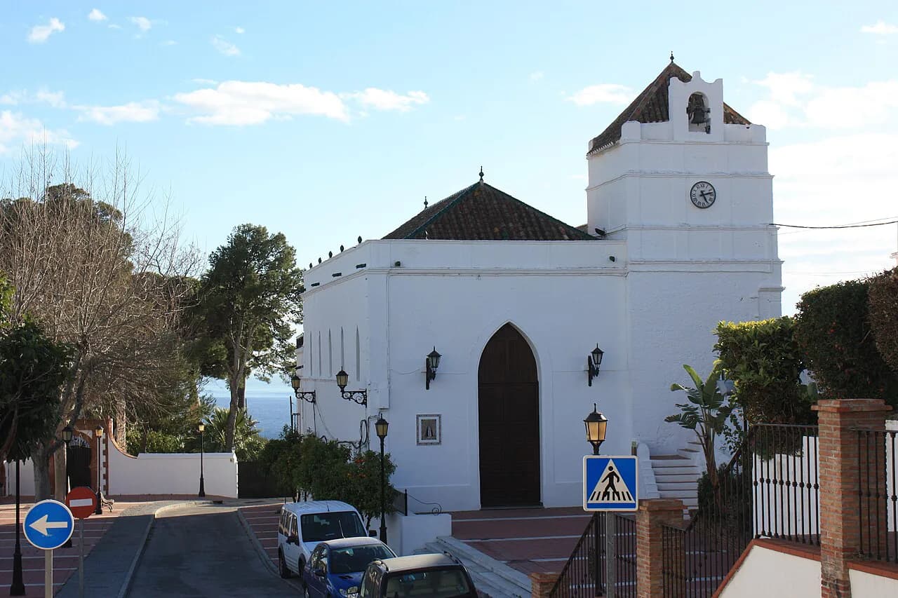
The centre of Maro is a cluster of whitewashed houses on lanes that rise towards the church, with the square in front of it acting as the village's living room. Plan on wandering rather than ticking off monuments: the appeal is the contrast between bright walls, pots of plants and the dark green valley opening behind the rooftops. A slow circuit of the core takes well under an hour, leaving time for the cliffs or a drink on the square.
The Maro-Cerro Gordo cliffs and the paths that start from the village
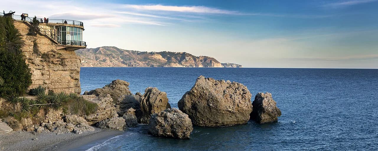
The Paraje Natural de los Acantilados de Maro-Cerro Gordo is a protected coastal strip of vertical cliffs, sea caves and clear water between Maro and Cerro Gordo. Marked walking routes leave from the village: the Maro to Acantilados route runs about 3.6 km almost parallel to the coast, and the Torre de Maro route covers about 2.7 km from the old watchtower down to the isolated Cala del Pino. The Sendero del Río de la Miel is a longer 8 km there-and-back from near the motorway, ending at the river's cascade; the Cueva de las Palomas route is shorter at roughly 2.5 km but harder underfoot.
Wear proper shoes, carry water and use sun protection, especially in summer, because the cliff paths have little shade and the rock holds heat through the middle of the day. The paths are walking routes rather than a promenade, so allow more time than the distance suggests if you stop for photographs.
Cala El Cañuelo and the coves below the cliffs, and which are reachable on foot
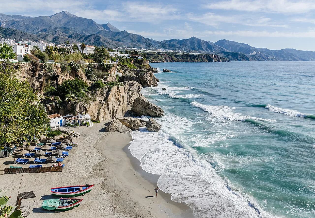
Cala El Cañuelo is a wild cove beneath the cliffs with no buildings or beach bars, and it is genuinely awkward to reach by land, which is why many visitors arrive by boat from Marina del Este or Nerja. Playa de Maro, about 4 km east of Nerja inside the protected area, has dark sand and transparent water and is good for snorkelling, with fishing strictly prohibited. La Caleta de Maro is a smaller rural beach in the same stretch, backed by small plots rather than development.
Playa de Maro was runner-up in a 2014 national television selection for Spain's best beach, which says more about its setting than its facilities. Decide between walking down and arriving by water before you set out: the descent is the easy half, and the climb back in afternoon heat is the trade-off.
Seeing Maro and the cliffs from the water: boat trips and kayak hire
From the sea the cliffs read as a continuous wall, with the Maro waterfall dropping onto a virgin beach, the Cerro Gordo headland, and caves and coves where the water is clearest. Boats leave from Puerto Deportivo Marina del Este, between Nerja and Almuñécar, either self-drive without a licence or with a professional skipper, and can be booked by the hour, half day or full day. Spring and summer bring calm seas, while September and October are quieter; if you would rather compare operators first, this guide to Nerja boat trips sets out the options.
A boat is the simplest way to see the coves without the climb back up, and the same trips pass the cliff faces and sea caves at their own pace.
How Maro fits into a Nerja short break, and when to go
Give Maro a morning or an afternoon rather than a full day: the village core is quick, the cliff walk is the substantial part, and pairing the two leaves the rest of the day free for the Nerja old town and the Balcón de Europa. The village is also a sensible first stop on the coast road east, with Almuñécar further along the same route. If you are plotting the rest of the break, the Nerja map helps you see how the coast road, the centre and the cliffs line up.
Spring and early summer are the kindest months for the cliff paths, and September and October combine calmer water with fewer people on the routes. Midsummer is workable if you start early and treat the middle of the day as time for the village, shade and a long lunch. The Nerja Attractions: 5 Visitor Guides collection covers the monuments and sights back in town for the rest of the break.
Walking Maro or Seeing It from the Sea
Choose Maro on foot for the white lanes, the church square and the cliff paths, and add a boat or kayak if you want the coves without the climb down and back. Either way, base the day around the village car park, carry water, and keep the middle of a summer day free. Ferries, boat departures and path conditions change with the season, so confirm the current arrangements with the operator before you go.
Explore more Nerja guides
Frequently Asked Questions
Can you walk from Nerja to Maro?
Maro sits east of Nerja along the coast road, and the marked walking routes inside the protected area start from the village rather than from Nerja itself. The practical approach is to drive or take the bus to Maro, park at the village car park, and walk the cliff routes from there.
Which airport do you fly into for Nerja and Maro?
Málaga is the airport for this stretch of coast, with the drive to Maro taking around an hour on the Mediterranean motorway and the N-340. Buses also link Málaga with Maro, so check current timetables before relying on public transport for the day.
Sources
Notes for your next Spanish town break
Optional updates to our guides.
You might also like
Continue reading
More guides you'll find useful