Nerja Map: Where the Old Town, Balcón de Europa and Caves Sit
A practical Nerja map guide: how the old centre, Balcón de Europa, Plaza de España, Calahonda and the Cueva de Nerja fit together, with walking routes.
On this page
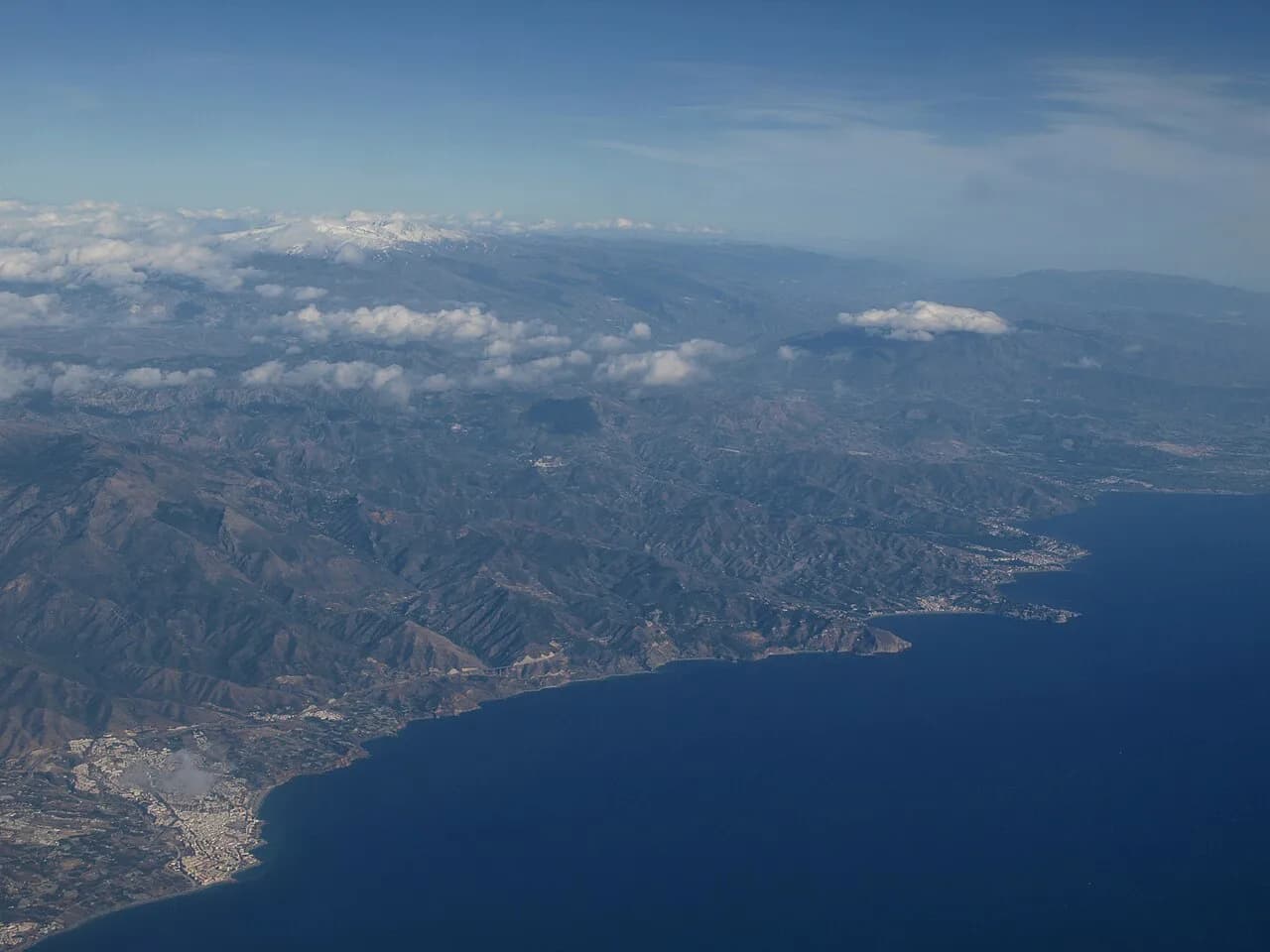
Nerja is a whitewashed town in Málaga province where the historic centre sits on a headland above the sea, and the Cueva de Nerja lies outside the town near Maro. Read a Nerja map as three clusters: the walkable centre around the Balcón de Europa, the coast either side of it, and the outlying sights that need wheels. This guide fixes each cluster in place, names the streets and plazas that connect them, and flags the parts of a day out that do not fit on foot.
What the Nerja map shows at a glance
The town keeps the typical Andalusian pattern of whitewashed houses and flowers along narrow streets, and the centre is compact enough that a paper map is mostly a check on which lane leads to the sea. The hinge is the Balcón de Europa, a broad promenade on a headland pushing out over the Mediterranean. Put your finger there and the rest of the centre falls into place behind it.
Everything inland from the Balcón is a short walk: Plaza Cavana, the Iglesia del Salvador beside the Ayuntamiento, and Plaza de España with the Museo de Nerja at one corner. The beaches sit below the headland rather than beside the streets, so the map shows short stairways and descents rather than long coastal roads. That vertical drop is the detail most maps underplay.
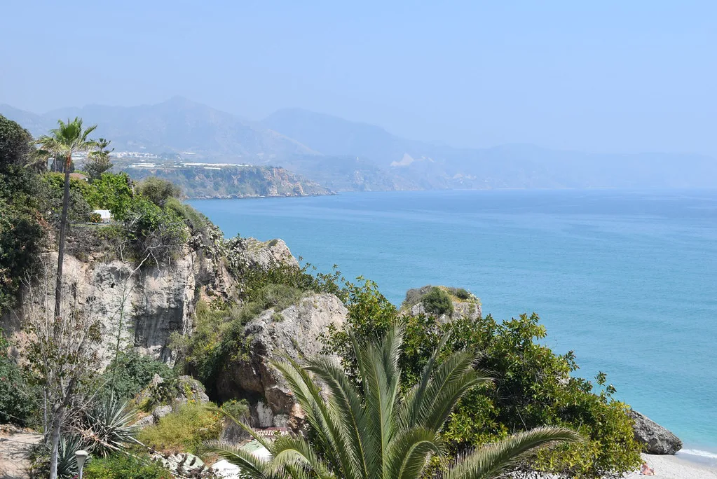
The Balcón de Europa as the hinge of the centre
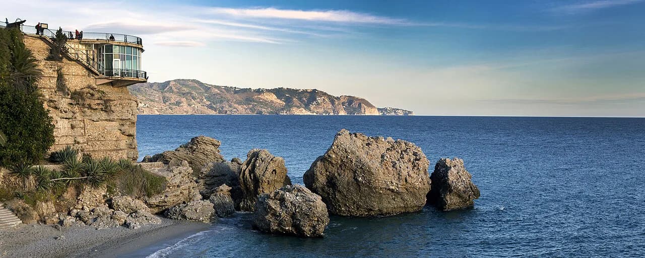
The Balcón de Europa is the heart of Nerja: a large esplanade that once held cannon aimed at the sea and is now the town's best-known promenade. From the railing you look along the coastline in both directions, which makes it the natural place to orient yourself before walking anywhere else.
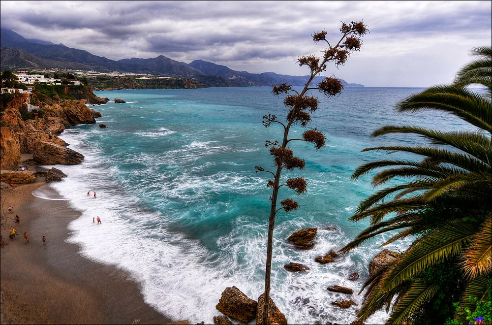
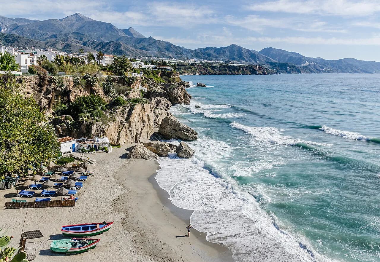
An arch, said to be Moorish, leads down a flight of steps to the Playa de Calahonda, an urban beach of dark sand and gravel in the centre of town. On the far side of the headland, the Playa del Salón lies to the right. The Balcón is the promenade above both, so a map should show the steps and descents down to the sand rather than a continuous coastal road.
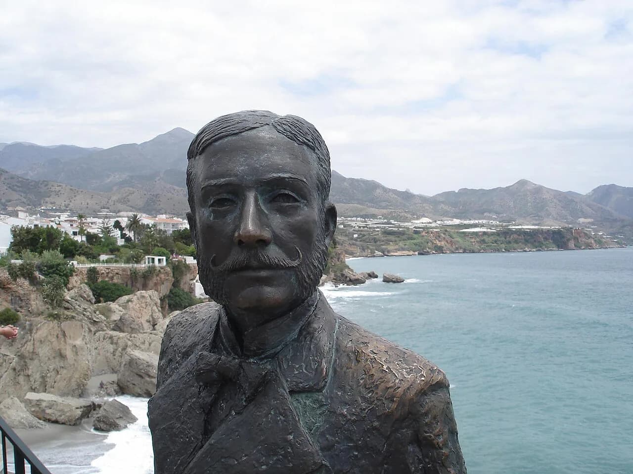
The name is tied to a visit by King Alfonso XII in 1885, after the earthquake of the previous year, when he is said to have praised the view and called the spot the Balcón de Europa. A sculpture of the king stands at one side of the promenade as a reminder. Use the promenade as your measuring point: if a sight is more than ten minutes inland from here, plan it as a separate stop.
The old centre on foot: Plaza Cavana to Plaza de España
Behind the Balcón, the Nerja old town is a tight knot of lanes best handled on a single loop. Plaza Cavana, once known as Plaza de los Mártires, is a small square with terraces in the centre of town and a good first turning off the promenade approach. From there the streets run inland towards the Iglesia del Salvador, the town's main church, which stands beside the Ayuntamiento (town hall).
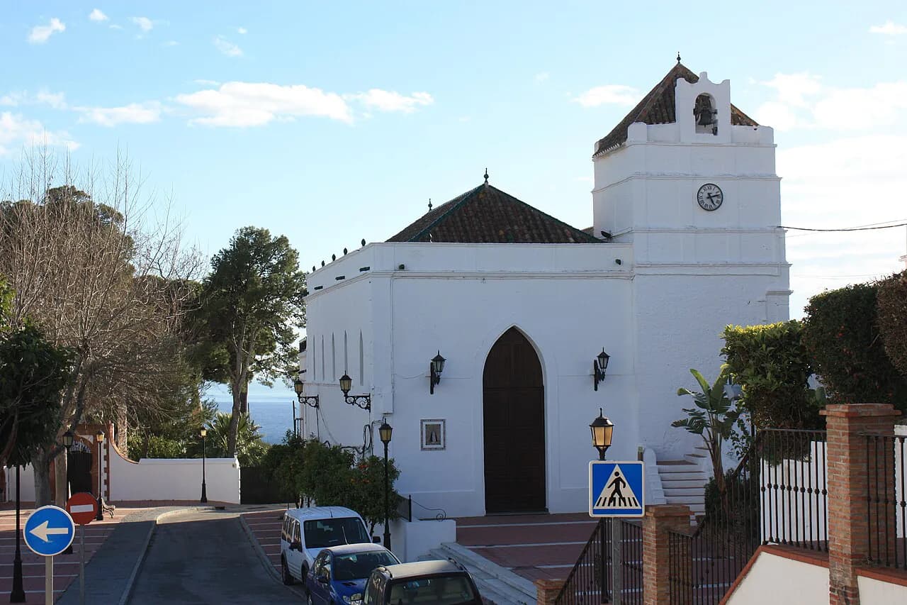
The Iglesia del Salvador was built at the end of the seventeenth century in a Baroque style and has three naves inside, with a mural dedicated to the Encarnación. It stands beside the Ayuntamiento, so allow for services when you look inside. Plaza de España, the largest square in Nerja, sits behind the town hall, with the Museo de Nerja at one corner.
Walked without stops, this loop from the Balcón through Plaza Cavana, the church and Plaza de España takes well under an hour; with a museum visit and a coffee, allow half a day. The trade-off is that the lanes are short and signposted in Spanish, so plan the order before setting off rather than doubling back. A morning start leaves the afternoon free for the caves or the coast.
Where the beaches sit on the map
The Playa de Calahonda, at the foot of the Balcón, runs for about 120 metres and is one of the most photographed corners of Nerja. It sits directly below the promenade, so you can check the sea state from the railing before committing to the steps. Between the Balcón and the town's other beaches, the headland separates one bay from the next.
Further east, the Playa de Burriana stretches more than 800 metres with fine sand and a full spread of services along the front. On a map it reads as a separate coastal stop rather than a walk-on extension of the centre, so treat it as its own outing; a Nerja boat trip from the coastline is the other way to see the shore without retracing the same streets.
Plaza del Cronista Pepe Pascual, Parque Verano Azul and the Barco de Chanquete
West of the centre, the television series Verano Azul put Nerja on the map for Spanish viewers, and the town has marked it. The Parque Verano Azul holds La Dorada, the boat known as the Barco de Chanquete from the series, and the Plaza del Cronista Pepe Pascual sits close by, with a bronze sculpture of the town chronicler unveiled in 2010.
A second Chanquete statue stands at the mirador of the same name between the beaches of El Salón and La Caletilla, so the television landmarks are split between two places on the map. Group the park and the plaza together in one walk, then treat the mirador as a stop on the coastal path.
Outlying sights on the map: the Acueducto del Águila
The Acueducto del Águila was built in the late nineteenth century in the manner of Roman aqueducts to carry water to the old Las Mercedes sugar factory. Its 37 semicircular arches still carry water, now for agricultural use. It lies outside the historic centre, so plot it as a separate stop on the map rather than folding it into a walk between plazas.
The Cueva de Nerja near Maro
The Cueva de Nerja sits outside the town in the small village of Maro, and it is the one big sight that needs transport from the Balcón rather than a walk in the middle of a sightseeing day. Buses run from the Málaga bus station with a return ticket to the caves themselves, which puts the visit just beyond the town. The five friends discovered it in 1959, it opened to the public on 12 June 1960 and was declared a Monumento Histórico Artístico in 1961.
The cave itself runs for about five kilometres, and the visit involves 359 steps. That figure is the key planning fact on the map: the caves are a physical outing, not a quick detour, and the staircase count matters more than the distance from town when you are deciding what else fits in the same day.
Ticket prices, opening hours and any reduced or free slots are set by the cave management and change over time, so check the official cave website before booking transport. That is the one detail worth confirming in advance; everything else on the Nerja map can be worked out on the day.
Protected monuments you will see marked on the map
Nerja has eleven Bienes de Interés Cultural, and they explain several names that appear on local maps and signs. Among them are the Castillo de Nerja, the Cueva de Nerja as a site of rock art, the Ermita de Nuestra Señora de las Angustias and a string of coastal towers: the Torre de Maro, Torre de la Caleta, Torre del Pino, Torre del Río de la Miel and Torrecilla de Nerja.
The Castillo de Nerja is a site rather than a standing fortress: nothing remains of the castle that once occupied the ground now covered by the Plaza del Balcón de Europa. It was built at the start of the sixteenth century, reshaped in the eighteenth for a cannon battery, and destroyed during the War of Independence. The towers along the coast are similarly best read as landmarks on the map rather than destinations in their own right.
Planning a route around the map
Split the day by cluster instead of trying to walk everything. A morning in the centre covers the Balcón de Europa, Plaza Cavana, the Iglesia del Salvador, Plaza de España and the Museo de Nerja without any transport. An afternoon goes to the Cueva de Nerja by bus, or to the Acueducto del Águila if you have a car. Bookending the day with the coast keeps the walking short.
Heat is the other map factor. Inland Andalusian towns bake at midday in summer, and Nerja's centre has little shade on the promenade and squares, so put the stairs down to Calahonda and the cave steps at the cooler ends of the day. Churches and small shops often close for the siesta, which narrows the middle of the afternoon for indoor stops.
Which part of Nerja to put on the map first
Start with the Balcón de Europa, then work inland through Plaza Cavana, the Iglesia del Salvador and Plaza de España, and keep the Cueva de Nerja and the Acueducto del Águila for a second half-day with transport. That order keeps the walking short and the transfers few, which matters most in the summer heat.
Explore more Nerja guides
Frequently Asked Questions
Is there a market day in Nerja?
Nerja's street market schedule is not covered by the sources behind this guide. Ask at the town's tourist information office or check the Ayuntamiento's own listings for the current weekly market day before you plan a morning around it.
How close is Nerja to Málaga?
Nerja lies in Málaga province on the Costa del Sol, east of the city of Málaga. Buses connect the Málaga bus station with the Cueva de Nerja on a return ticket. Journey times and frequencies change, so confirm them with the bus operator when you book.
Sources
Notes for your next Spanish town break
Optional updates to our guides.
You might also like
Continue reading
More guides you'll find useful