Palma Map: Old Town, La Seu and the Streets in Between
A practical Palma map guide: where La Seu, the Almudaina, Parc de la Mar and the old town sit, how they connect on foot, and which squares anchor each walk.
On this page
A Palma map is really three maps layered on top of each other: a tight Gothic old town gathered around the cathedral, a seafront that stretches from the cathedral towards the ferry port and cruise terminal, and a western neighbourhood around Santa Catalina. Everything worth seeing in the centre sits within one pedestrian-friendly cluster, so the map rewards grouping by area rather than numbering pins. This guide lays the city out by walking zone and names the squares and streets that anchor each one.
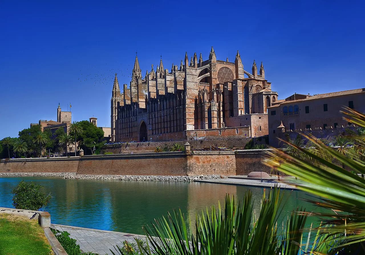
The heart of the city lies around La Seu, the Gothic cathedral that towers over the skyline and sits beside Parc de la Mar, with narrow lanes, hidden courtyards and historic buildings filling the old town at every turn. Because the centre is compact, it is easy to explore on foot, and the harbour begins right in front of the cathedral. Our Palma Old Town guide picks out the lanes and corners worth building into the walk.
What a Palma map shows at a glance
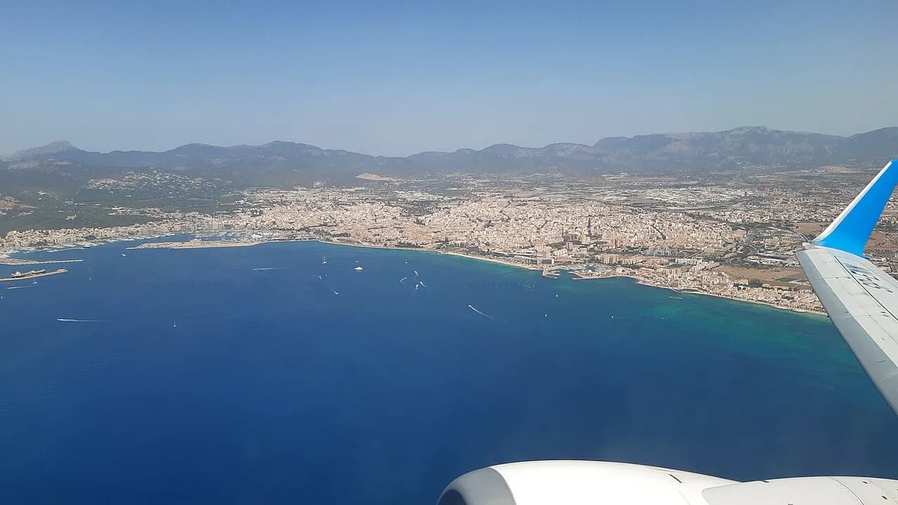
Fold out any map of Palma and one shape dominates: the old town as an oval of lanes pressed against the sea, with the cathedral at its southern edge. South of that edge runs the water, and the enormous harbour begins right in front of the cathedral and stretches along the coast towards the ferry port and cruise terminal. North and west of the lanes sit the squares and shopping streets, and beyond them Santa Catalina.
Treat the old town edge as your baseline. La Seu, Parc de la Mar and the Palau Reial de l'Almudaina all sit in the same southern corner, so you can cover them together before turning inland. The lanes north of the cathedral lead towards Plaça Major and Plaça de Cort, which anchor the shopping half of the centre. For the interior of the royal palace, the city's museum and monument guide fills in the adjacent stops.
The map also makes clear how little you need a car. The old town's pedestrian streets and the seafront promenade's wide, smooth paths are made for walking and cycling, with sea views most of the way. A short break built around the centre needs no vehicle at all.
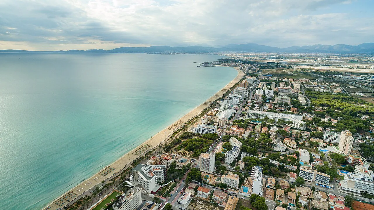
La Seu and Parc de la Mar: the southern corner
La Seu, properly the Catedral de Santa Maria de Palma, is the city's great Gothic monument, built hard against the Roman and Renaissance walls and holding the largest original Gothic rose window of its kind. Inside, the visit takes in the cathedral, the Museum of Sacred Art and the Chapter Archive. The cathedral's own website carries the visiting hours and the current entry price, so check both before you go.
Below the cathedral, Parc de la Mar is the open green space that softens the transition between the monument and the water, and it regularly hosts concerts, open-air films and local festivities through the year. On the map it reads as the hinge between the old town and the seafront, which is why most walking routes through the centre pass through it.
If you want the cathedral visit sequenced properly with the rest of the centre, a structured Palma itinerary is the simplest way to avoid doubling back through the lanes. Keep the southern corner for one block of time rather than threading it between distant sights.
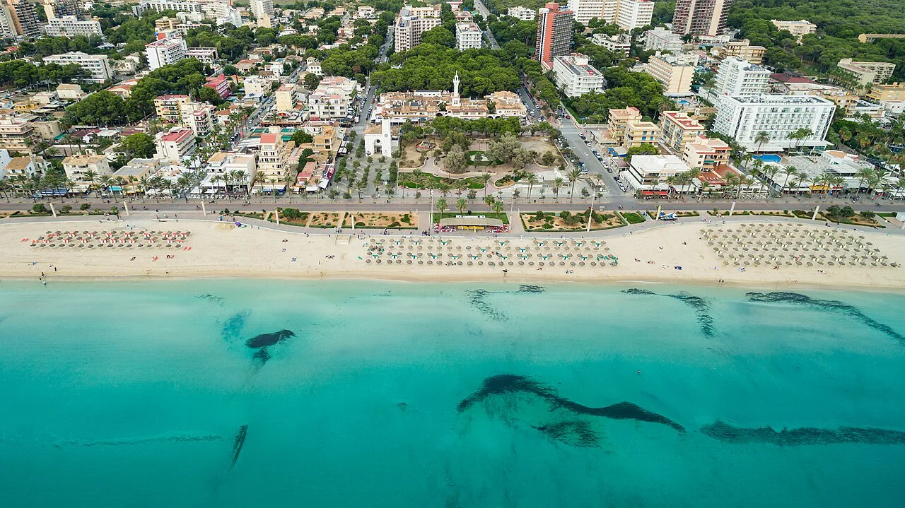
Palau Reial de l'Almudaina, next door
The Palau Reial de l'Almudaina sits immediately beside the cathedral in the old town and serves as the official residence of the Spanish royal family in Mallorca. On a map the two buildings share the same small pocket of the city, so plan them as one stop rather than two separate crossings of the centre.
For the wider arc from the cathedral to the Almudaina and on through the lanes, our Things to Do in Palma guide sets the neighbouring sights in order. The Almudaina is the natural second pin after La Seu because you barely leave the same square.
The old town lanes between the cathedral and Plaça Major
Between the cathedral and Plaça Major, the old town is a maze of narrow streets, hidden courtyards and historic buildings. That maze is the point rather than an obstacle: the lanes are pedestrian-friendly and packed with character, with galleries, boutiques and small cafés threaded through the historic fabric.
A walking tour earns its keep here, because the lanes resist a straight line and the interesting corners are easy to miss. If you prefer to self-guide, pick one lane heading north from the cathedral and let the map's contours do the work; you will surface near the squares either way.
For context on what you are walking through, the layers of the city's story are what give the lanes their texture: an earlier fortified town, then the Gothic and Renaissance rebuild that produced the cathedral and the Lonja. Knowing which layer you are looking at turns an anonymous courtyard into a datable one, and the city's history guide gives the background to carry with you.
Plaça Major and Plaça de Cort: the squares that anchor the centre
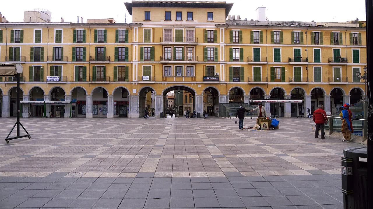
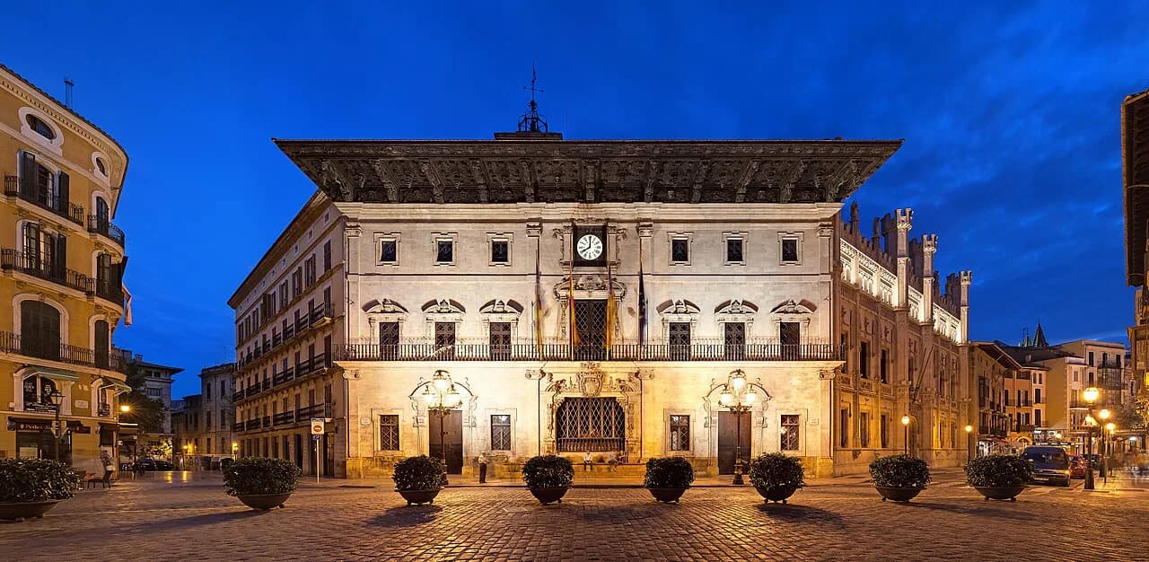
Plaça Major is the heart of social life in the centre, ringed by cafés and shops, and it is the square most visitors hit first when they come inland from the cathedral. Plaça de Cort, home to the town hall, sits in the same cluster, so the two squares work as a pair on any map of the shopping half.
Plaça Major is also where local markets set out handmade crafts and souvenirs, which makes it a natural pause between the lanes and the shopping streets. If retail is part of the plan, build the afternoon around this square rather than scattering stops across the whole centre.
Passeig des Born, Sant Miquel and La Rambla: the western spine
West of Plaça Major, Passeig des Born is the grand avenue of high-street names and designer stores, and it is the clearest straight line on the map for anyone heading towards the sea. Nearby, Sant Miquel is the busy shopping street, while the tree-lined La Rambla carries florists and newspaper kiosks and feels distinctly local. Avinguda Jaume III continues the retail thread against some handsome architecture.
Read together, these streets form the walking spine that connects the old town to the western edge of the centre without touching the waterfront. Use Born as your handrail: if you are on it, you can always find your way back to the cathedral by turning south-east.
Sa Llotja and the Lonja district
Sa Llotja, the Gothic civil building, is a jewel of the style and now hosts art exhibitions and cultural events. The streets around it are filled with galleries, antique shops and restaurants, and the district, one of the oldest in the city, sits close to the cathedral and the Born on any map of the centre.
If the weather turns, Palma's galleries and collection spaces are concentrated enough in the centre that you can fold a museum stop into a walking morning without crossing the city.
Santa Catalina and Carrer de la Argentina
Santa Catalina was once a neighbourhood of fishermen and artisans, and it is now one of the liveliest quarters of the city. By day the streets mix independent shops and boutiques, and the Mercat de Santa Catalina adds colour and produce to the picture; Carrer de la Argentina is the name to note if you are orienting by street rather than square, and the area's bars take over as evening falls.
On a map, Santa Catalina is the western neighbour of the centre: close enough to walk to from the Born, far enough to feel like a different neighbourhood. Give it its own slot rather than squeezing it between the cathedral and the shopping streets.
The seafront promenade and the harbour
The seafront promenade is wide and smooth, made for walking or cycling, with sea views almost the whole way and the harbour running from the cathedral towards the ferry port and cruise terminal. It is the one part of the Palma map where the route is obvious: follow the water and you cannot get lost.
If you want to see that harbour from the water rather than the shore, boat trips leave from the port area and give a different read of the city's shape. It is a useful way to understand how the old town, the marina and the cruise terminal relate before you walk them.
Arriving and getting your bearings
Palma's airport sits within a short taxi ride of the city, which is what makes the capital work as a city break rather than a base that needs a car. Arriving in the centre, the old town's pedestrian-friendly streets make orientation straightforward once you pick a landmark: the cathedral, the Born or Plaça Major.
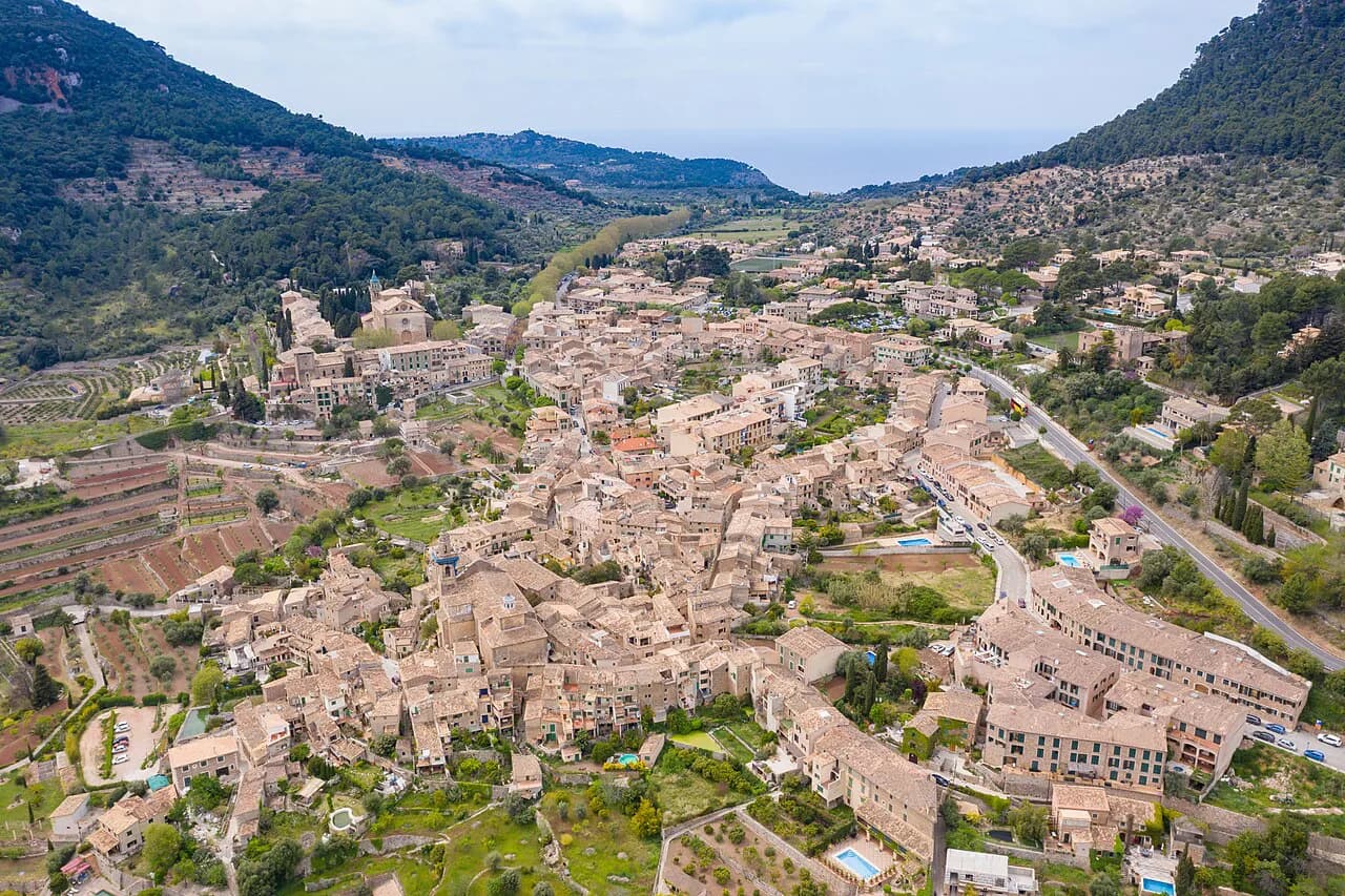
July and August bring heavy visitor numbers, though the map helps here as much as the calendar does: front-load the cathedral corner early, keep the lanes for the middle of the day and leave the open promenade for the afternoon. If the town feels tight, the villages of the Serra de Tramuntana offer a different day out entirely.
Two names you may see spelled inconsistently: Palma de Mallorca is the formal name of the city, and the island is Mallorca. In Mallorquí the place names take local forms, so Plaça, Carrer and Passeig appear on signage; the Castilian equivalents, such as Calle or paseo, are what you may find in some Spanish-language material.
Which Palma walking loop fits your morning
If you have one morning, stay inside the old town: La Seu and the Almudaina together in the southern corner, the lanes north to Plaça Major and Plaça de Cort, then back down through Sa Llotja. That loop keeps you in the pedestrian centre and touches the four strongest anchors on the map.
With a full day, add the Born spine and Santa Catalina, then finish on the promenade where the harbour carries you back towards the cathedral. Our Palma old town guide picks up the detail inside the lanes, and the wider Palma pages cover openings and prices for individual sights.
Explore more Palma guides
Sources
Notes for your next Spanish town break
Optional updates to our guides.
You might also like
Continue reading
More guides you'll find useful