Pamplona Map: Old Town Layout and Main Sights by Area
A Pamplona map guide to the old town and its main sights, laid out area by area so you can plan short walks between the cathedral, the Ciudadela and the plazas.
On this page
Pamplona is easy to walk, and its map reads best in two parts: the dense Casco Viejo and the Ciudadela with La Taconera and the parks that wrap round the western edge. Almost everything a short break covers sits inside or just beside the old-town grid, so you can link the plazas, churches and museums on foot rather than plotting transport. This guide lays the city out area by area, names the streets that join them, and points you to the free official plan before you arrive.
What a Pamplona map shows you
A Pamplona plan shows a compact historic centre ringed by the remains of its walls, with the modern city and its parks spreading out around it. The old town is the dense, walkable part where the monuments cluster; the Ciudadela and La Taconera form a greener western edge that sits outside the old-town street grid. Reading the map this way stops you hunting for sights on streets that never reach them, because the fortifications and parkland genuinely interrupt the centre.
The city council publishes a plano de Pamplona/Iruña with the places of interest marked, which is the cleanest single sheet for orientation. It also offers a guide covering history, sights, activities and green spaces, plus a brochure listing opening times, prices and contacts for the places you can visit. All of these are free downloads, so save them before you travel and you have the official layout in your pocket.
If you want a wider frame, the regional tourism board offers a plano de Pamplona alongside plans for Tudela, Estella-Lizarra, Olite, Roncesvalles and Sangüesa, and area maps including Pamplona y Comarca. That is useful if you are tagging Pamplona onto a Navarra trip rather than treating it as a standalone city break.
The old town core: Plaza del Castillo, Calle Estafeta and the Town Hall
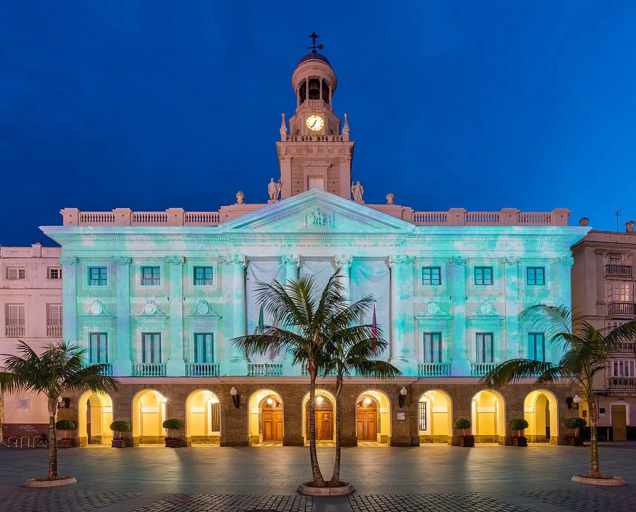
Start at the Plaza del Castillo, the central square that anchors a first walk. Calle Estafeta runs off the old-town grid close by and is one of the best-known streets in Pamplona, while the Ayuntamiento, the city hall, is the city's most photographed building. These three sit within a short stroll of each other, so a map here is mostly about which lane you take, not how far you go.
The Casco Antiguo as a whole is the sensible starting point for a first orientation, because the streets fan out from it towards the cathedral end, the walls and the river. Orient yourself on the plaza, find Calle Estafeta and the Ayuntamiento, then work outward rather than zigzagging back and forth across the centre. The old town rewards a loop rather than a list, and the map makes that obvious once you see the scale.
The cathedral end: Plaza de San Saturnino and the Cathedral of Santa María
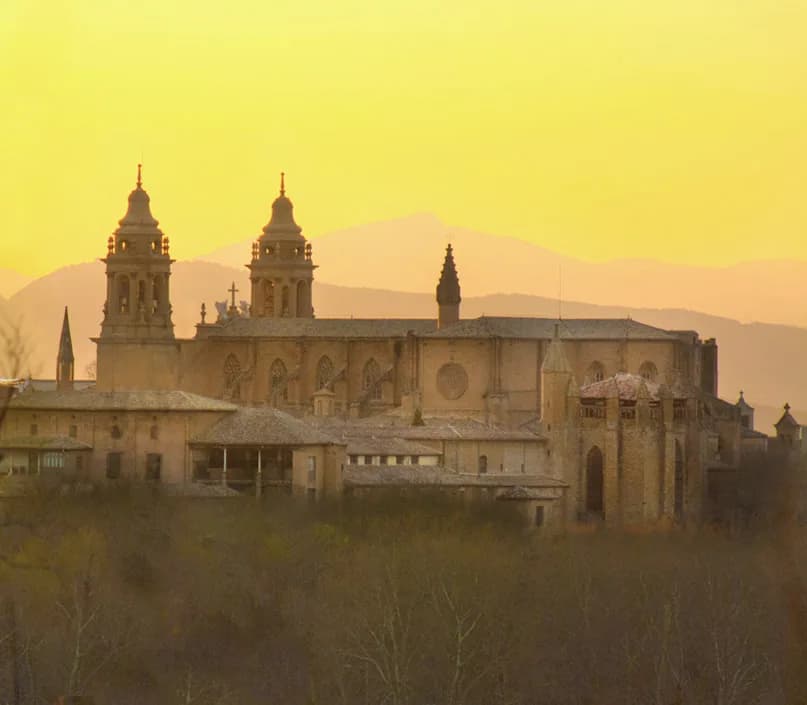
The Plaza de San Saturnino gathers the Church of San Saturnino, a mix of church and fortress that is one of the more distinctive stops in the centre. The Cathedral of Pamplona, dedicated to Santa María, is described as the most important temple in the city and sits within the same old-town fabric. On the map these read as a single cluster: one walk links the fortress-church, the cathedral and the streets between them.
The Oficina de Turismo sits at Calle San Saturnino, 2, which makes the street a practical anchor as well as a sight in its own right. Use it as the fixed point on your paper map: from there the cathedral, the plaza and the river bridge all fall into place. The city tourism site publishes the address, phone number and email for the tourist office if you want them saved offline.
The Ciudadela and La Taconera: the green western edge
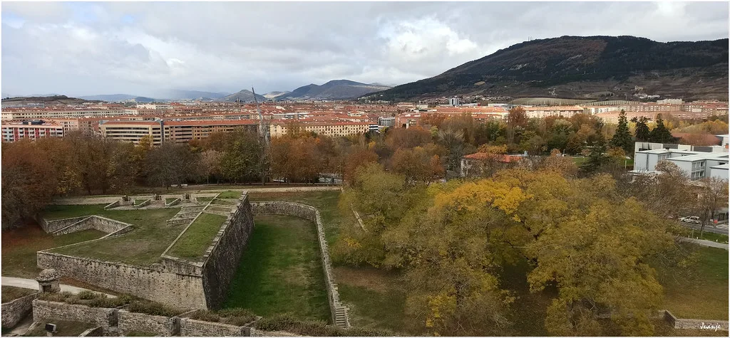
The Ciudadela is the historic citadel on the western side of the centre, and La Taconera is the park corner that keeps the centre green without leaving it. Both sit outside the old-town street grid, which is exactly why they confuse first-time map readers: the lanes of the Casco Antiguo do not simply continue into them. Treat them as a separate western block and approach them from the old town rather than trying to thread through.
Plan the Ciudadela and La Taconera as one leg of the day, after the plaza core rather than before it. The city council's guide covers parks and green spaces alongside the monuments, so the pamphlet is the piece to keep open if you want to see how the fortifications and gardens stitch onto the centre. It is a straightforward walk out and back, not a separate excursion.
Northern and southern gates: Puente de la Magdalena and the Camino de Santiago
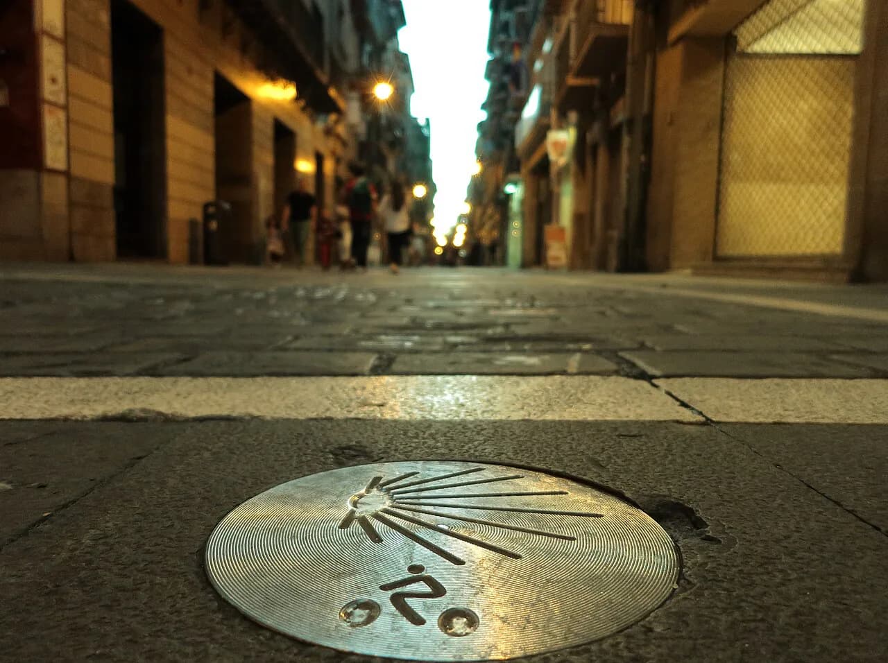
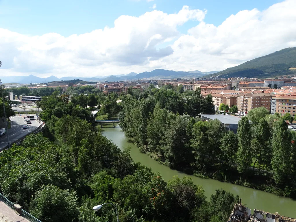
The Puente de la Magdalena is the historic crossing that appears on the standard sight itineraries as a landmark in its own right. Because Pamplona is a gateway for the Camino de Santiago in Spain, the pilgrim route shapes how the city reads on a map: arrivals come in from outside and funnel towards the old town rather than starting at its centre. If you are coming in on foot from outside the city, the bridge is one point at which the plan starts to make sense.
Navarra's tourism board publishes Camino maps and a Camino guide by stages, which are worth downloading if the pilgrim geography is part of why you are in Pamplona. For a city break it is background rather than a route you need: the bridge and the old-town entry are the only pieces that affect your walking. Keep the Camino material for the wider region and use the city plan for the centre.
The museums and archive on the map
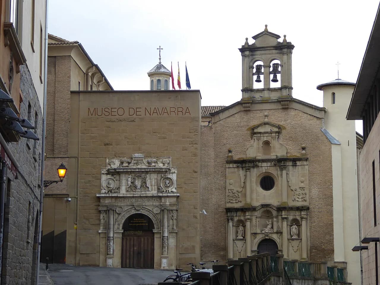
The Museo de Navarra and the Archivo Real y General de Navarra both appear on the standard list of what to see, and both sit within reach of the old-town streets. The archive is worth noting on your plan as a historic building to see from outside; check its own information before relying on interior visits. Group them with the cathedral end rather than treating them as a separate trip across the city.
The Capilla de San Fermín is the other stop in this part of the centre that map-led visitors often miss, and it belongs on the same leg as the cathedral and the archive. The city brochure groups sights by category with contacts and visit information for each, which is the document to open when you are deciding what to include. Decide the cluster at home, then mark only those pins on the plan.
For a deeper run at the collections, see our guide to Museums in Pamplona, including what each one holds and how it fits a short break. Use the map to fix the walking order and the museum guide to choose which rooms are worth your time.
Parque Yamaguchi and the city beyond the walls
Parque Yamaguchi, a garden named after Pamplona's Japanese twin city, is the reminder that Pamplona does not stop at its walls. It sits beyond the historic centre, so it belongs on the map as a deliberate extra rather than a sight you will stumble across between plazas. If your break is short and centred on the old town, this is the first item to drop.
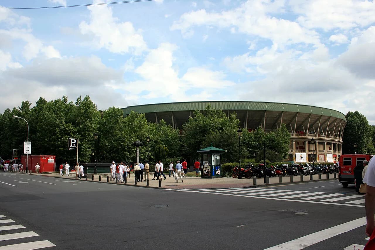
Beyond the walls, the modern city wraps round the historic core, and the regional maps show Pamplona y Comarca as a whole. That wider sheet is the one to use if you are combining the city with nearby Navarra towns, while the city plan stays the working document for the centre. Two maps, two jobs: one for the streets you walk, one for the region you drive or ride through.
Where the stations sit relative to the centre
The station end of town is the part of the plan most worth studying before you arrive, because the walk into the old town is what shapes your first hour. Check the map for where the train and bus stations sit relative to the centre rather than guessing from a schematic. Identify which side of the centre you arrive on before you book anything time-sensitive.
Once you know your arrival side, mark the Plaza del Castillo as the fixed centre and draw a straight line from your station to it. That single line tells you whether to walk in with your bag or head for the tourist office first, and it stops the old town feeling like a maze on arrival. Keep the paper plan out for that first walk and rely on the phone afterwards.
Getting a free map before you arrive
The official downloads are the best free option: the city council's plano, its guide and its visitor brochure, plus the Navarra regional plans if you are touring. Download the PDFs to your phone and email yourself a copy, so a flat battery or a dead signal does not leave you without a plan. The tourist office on Calle San Saturnino, 2 is the physical backup if you prefer paper in hand.
If you would rather follow a fixed route than build your own, a Pamplona walking tour orders the stops for you and removes the map-reading entirely. That suits a first afternoon when you want the shape of the old town without deciding every turn. Build your own route for the second day, once the geography has clicked.
A Pamplona itinerary is the other shortcut: it fixes the order of the core sights so the map becomes a checklist rather than a puzzle. Whichever you choose, take the official plan as the base layer and add your own pins on top.
Paper versus phone: what to save before you go
Save the plano and the visitor brochure offline, and keep one paper copy in a bag as insurance. The brochure carries opening times, prices and contacts for the monuments, so it doubles as the reference you will actually open at a doorway. A phone map alone leaves you dependent on battery and signal in streets where you will be walking a lot.
Mark only the places you genuinely intend to see, or the plan becomes a wall of pins and you lose the shape of the city. The old town is small enough that six or seven marked sights will carry a full day, with the Ciudadela and La Taconera as the western leg. Everything else is a bonus you find by walking.
Which map to carry on the day
Carry the city council's plano as your base map, keep the visitor brochure for monument information, and add the Navarra regional plan only if you are leaving the city. That combination covers the old town core, the cathedral end, the Ciudadela and the wider trip without overlapping sheets confusing you. Download all three before you travel and the map question is settled.
If you want the walking order decided for you, start from a Pamplona walking tour or the itinerary and adjust once you see the scale. Either way, the city rewards being read on foot: the plazas, churches and museums sit close enough that the map is mostly about direction, not distance.
Frequently Asked Questions
Is Pamplona easy to walk around?
Yes. The historic centre is compact and the main sights cluster into a few groups: the Plaza del Castillo, Calle Estafeta and the Ayuntamiento at the core; the cathedral and Church of San Saturnino towards the north; the Ciudadela and La Taconera on the green western edge. The Ciudadela sits outside the old-town street grid, so approach it as a separate leg rather than expecting the lanes to lead straight into it.
Where can I get a free map of Pamplona?
The city council publishes free downloads of a plano de Pamplona/Iruña with places of interest marked, a city guide, and a visitor brochure covering visit information for the sights. Navarra's regional tourism board also offers a Pamplona plan plus area maps. For a paper copy, the tourist office is at Calle San Saturnino, 2.
Sources
Notes for your next Spanish town break
Optional updates to our guides.
You might also like
Continue reading
More guides you'll find useful