Girona Map: Old Town Layout, Sights by Area and Walking Distances
A visitor's map guide to Girona: the old town, the Call, the cathedral steps and the Onyar bridges, with walking distances and how the sights group together.
On this page
A Girona map needs three things: the Onyar riverfront as the line between old and new town, the tight knot of medieval streets behind it, and the walled edge where the city climbs away from the water. The whole old town crosses on foot in about twenty minutes, yet almost every route through it gains height, so where you start decides how much climbing you do. This guide groups the plazas, churches, museums and gates by area so you can sketch your own route rather than follow a numbered list.
Use the bridge names and street names here as search terms on your phone map: Pont de les Peixateries Velles at the river, Carrer de la Força through the Call, Pujada de Sant Domènec on the climb, and Portal de Sobreportes where the walls begin.
The Onyar riverfront: the spine of any Girona map
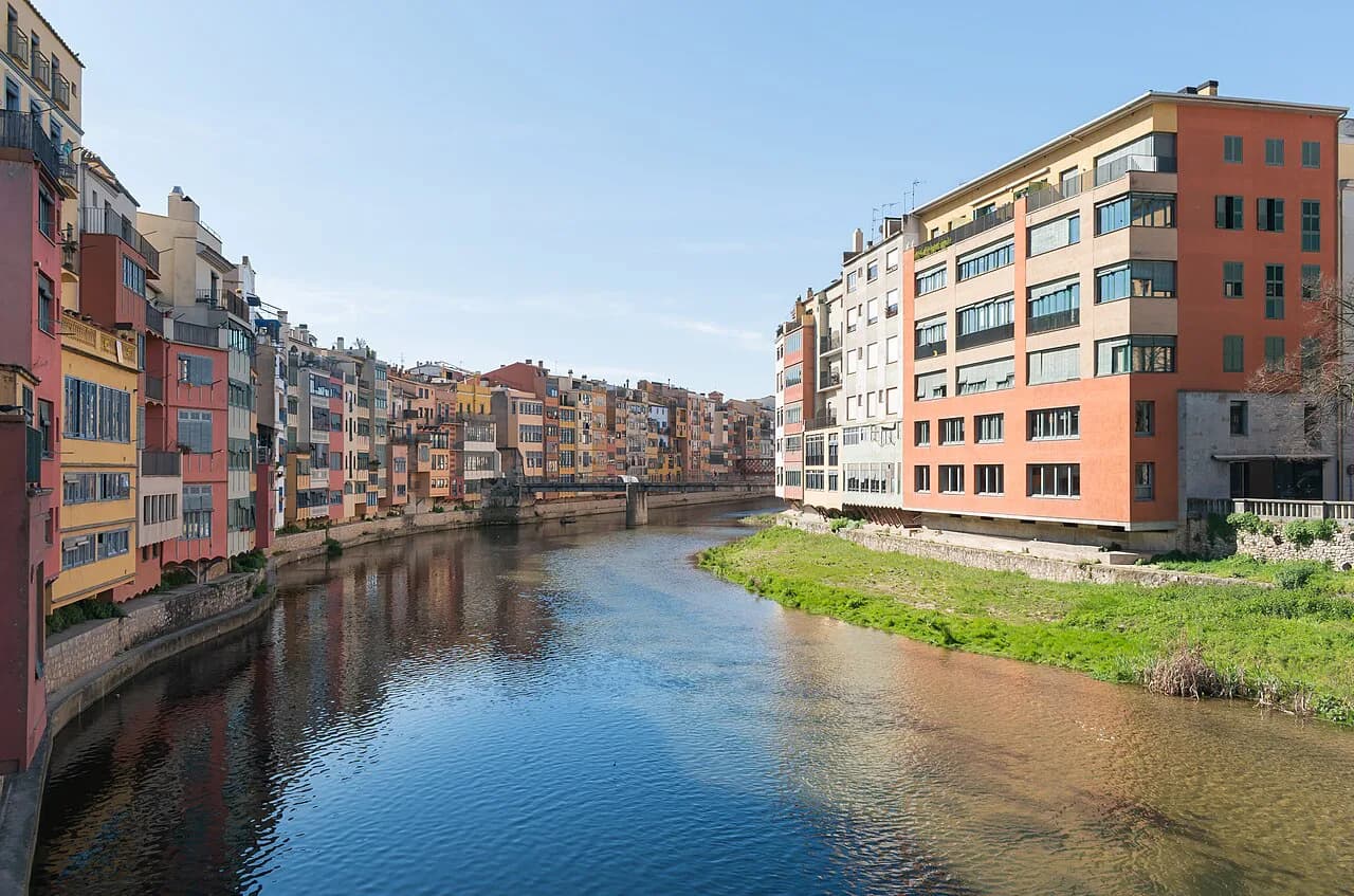
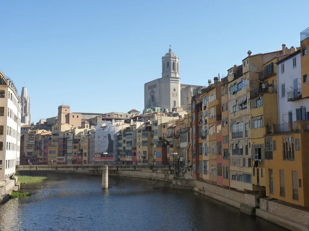
The river Onyar splits Girona into two readable halves. On the east bank sits the old town, all stone lanes and stairways; on the west bank the newer streets spread out towards the station and the shopping grid. Treat the river as your baseline: almost everything on a first visit lies within a short walk of it, and the coloured houses strung along the water are the landmark that tells you which way you are facing.
The Pont de les Peixateries Velles, known to most people as the iron bridge, is the crossing everyone photographs, and from its red framework you look straight at the casas del Onyar, the painted houses raised along the river during the twentieth century. Crossing takes a minute, but the bridge is narrow and busy, so first thing in the morning gives you the facades in good light and room to stand still.
The river crossings put you close to the church of Sant Feliu and the lower lanes of the old town, which makes them the better choice if you are heading for the Call first. Whichever bridge you take, the river is never more than a couple of minutes behind you once you are inside the old town, so it works as a reset point when the lanes start to blur.
The Call: the Jewish quarter at the foot of the hill
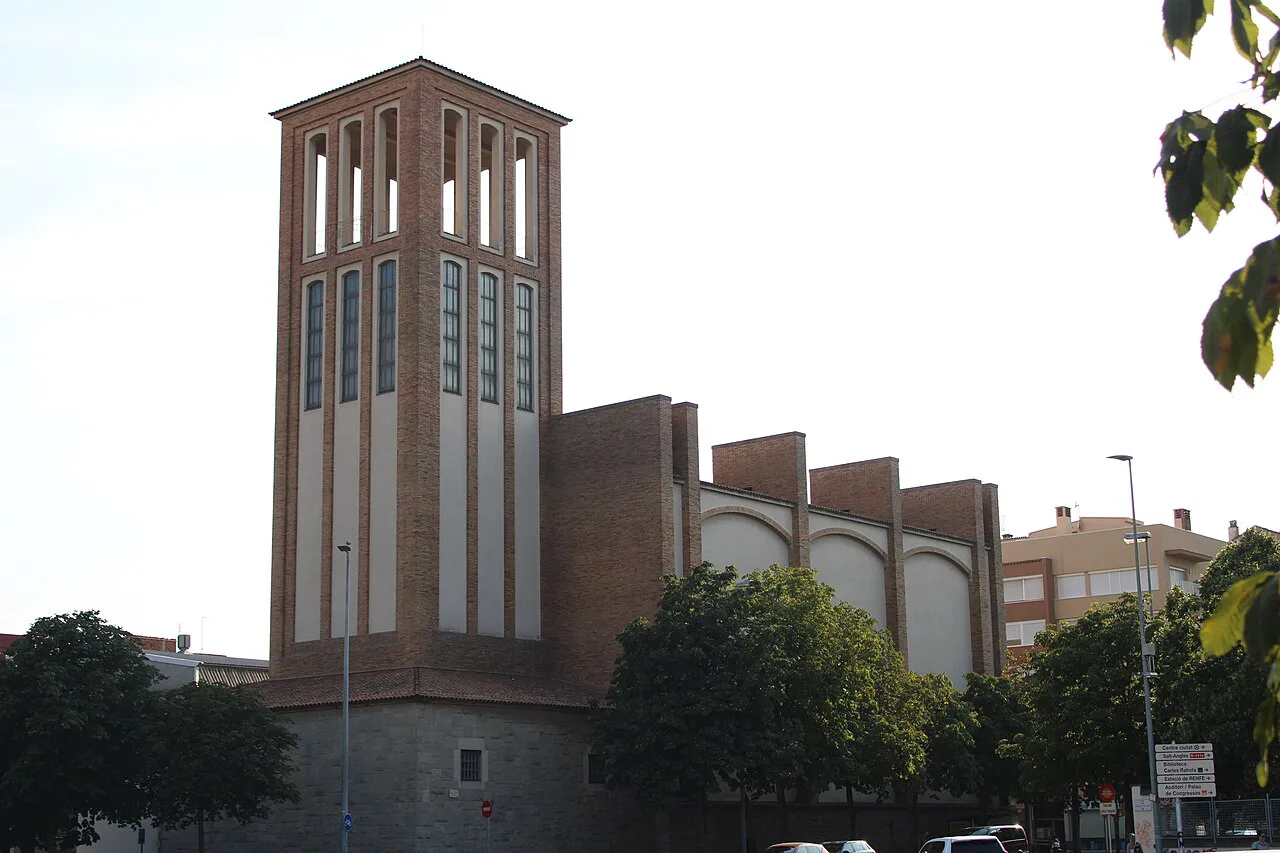
Directly behind the riverfront, the Call spreads out around the Carrer de la Força and is counted among the best-preserved medieval Jewish quarters in Europe. The streets are paved, narrow and often stepped, with covered passages and small courtyards opening off them without warning. It is small enough to wander without a plan, but the tangle means you will double back more than once.
The former synagogue, reached from the same lanes, is the anchor for understanding what the neighbourhood was. Walk the Call first and the later climb makes sense: you are moving from the commercial low ground up towards the religious and civic buildings on the ridge above.
The middle slope: Sant Domènec, the Banys Àrabs and Sant Feliu
The Pujada de Sant Domènec is the street that takes you from the lower lanes up towards the cathedral quarter, and it is the part of the map where the gradient becomes obvious. Off it sits the Banys Àrabs, a Romanesque building used as public baths between the eleventh and fifteenth centuries and modelled on Roman and Muslim bathing traditions. It is a short visit rather than a museum morning, so slot it in as you pass rather than making it a destination.
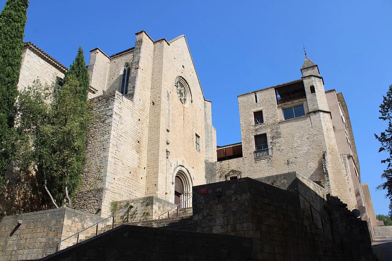
The Església de Sant Feliu stands on the lower side of the old town with its slender bell tower and an eighteenth-century Baroque doorway, a useful marker when you are checking which side of the hill you are on. Further along the same edge, Sant Pere de Galligants sits by the river with the archaeology museum of Catalonia, and the two together make a natural pause before the final climb.
The cathedral end: ninety steps and a record nave
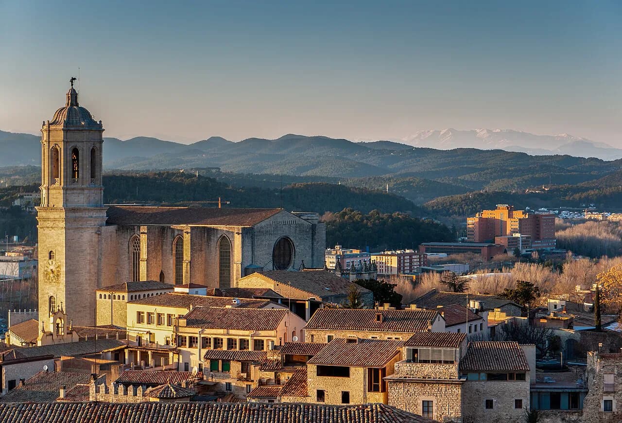
The Santa Maria cathedral crowns the city at the top of a stairway of ninety steps, and that number is the single most useful fact on a Girona map: it tells you the climb is real but short. The reward inside is the widest Gothic nave in the world, 22.98 metres across with no column breaking the span. It was built between the eleventh and eighteenth centuries, with much of its present form dating to the fourteenth, and the twelfth-century cloister has an irregular plan and carved capitals showing the craftsmen themselves at work.
Entry to the cathedral and its museum is ticketed, and the museum holds the eleventh-century Romanesque tapestry of the Creation. The stairway is also the city's best-known filming location, which explains the crowds on the steps at almost any hour.
Museums inside the old town, grouped by street
Girona's museums sit close enough together to plan by street rather than by theme. The Museu d'Art de Girona, the Museu d'Història de la Ciutat and the Museu d'Història dels Jueus all fall within the old town, with the Museu del Cinema and Casa Masó rounding out the cluster. If you want the chronology of the city in order, the history museum does that work room by room, which is worth doing early in a break.
The Museu d'Art de Girona sits beside the cathedral quarter, so pairing it with the cathedral and the stairway keeps you on one part of the map instead of crossing the old town twice. Check opening days before you commit, because civic museums in Spain commonly close one weekday.
The walls and the Portal de Sobreportes
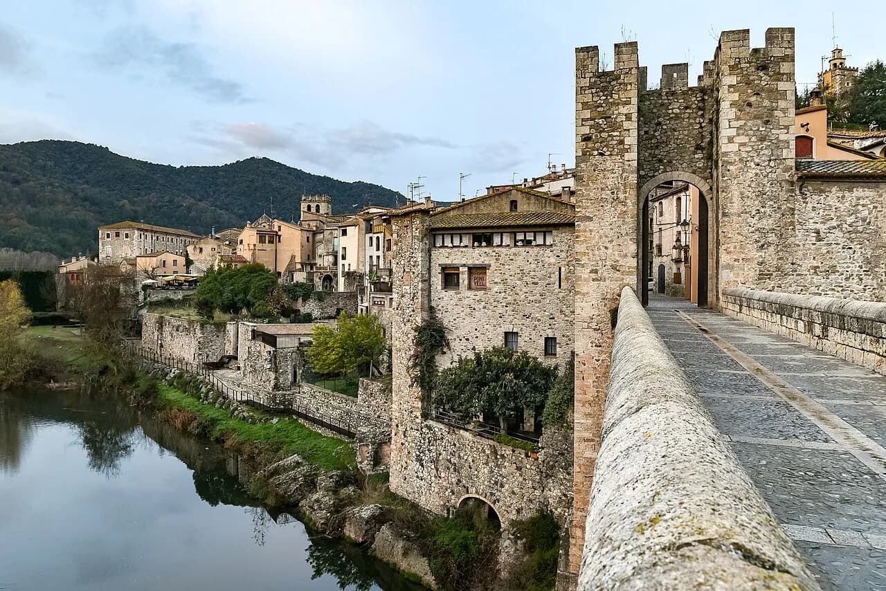
The medieval walls were extended from the Roman fortifications, and the walkway along their perimeter is one of the best things to do with an hour in Girona. The Portal de Sobreportes is the gate to look for on a map: from there the wall path tracks the old edge of the city.
On a map the walls read as the boundary of the old town, which is exactly how to use them: walk the wall segment nearest where you already are rather than making a circuit. The stretch above the cathedral quarter gives you the rooftops and the cathedral from outside in one go.
The Devesa: the green edge a few minutes from the centre
The Jardins de la Devesa lie a short walk from the old town, with broad paths and enough shade to break up a day of stone. It is the obvious place to sit down when the afternoon heat peaks in summer, and it sits on the flat ground rather than the hill, so it costs you no climbing. In May the city fills with flowers during Temps de Flors, with courtyards and monuments opening as exhibition spaces.
A few minutes' walk away, the Mercat de la Lleona is where locals shop, with cheese, cured meats and seasonal fruit. It is a practical stop rather than a sight, and it gives you something concrete to carry back to the flat side of the map.
A walking order that avoids doubling back
Start at the Pont de les Peixateries Velles for the river view, cross into the Call and walk the Carrer de la Força, then take the Pujada de Sant Domènec uphill. From the top, see the cathedral and its nave, then leave by the Portal de Sobreportes and walk whichever stretch of wall is closest. You finish on the flat by the river without retracing the lanes.
If you want a guide to narrate the same geography, a Girona walking tour covers the Call, the cathedral steps and the walls in a fixed order, which suits a first afternoon. Otherwise the route above is short enough to walk twice.
Arriving by rail and reading the station on the map
Girona is served by the AVE high-speed line and by other regional trains, and the AVE connects Barcelona and Girona in a little over half an hour. It is the quickest option for the city, though the higher fare is the trade-off. The station sits outside the old town, so plan the last stretch as a walk or a local connection rather than expecting to step off into the lanes.
Travellers arriving by air usually come through the Barcelona area or the Costa Brava, and from there the train is the simplest way to read the city's layout before you arrive. Once you are on the west bank, the river gives you an immediate line of sight to the old town.
What belongs outside the city map
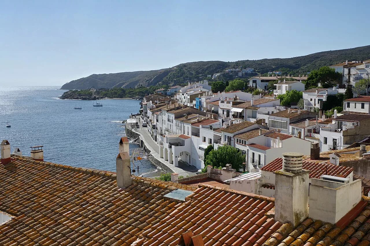
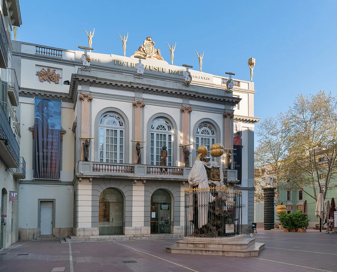
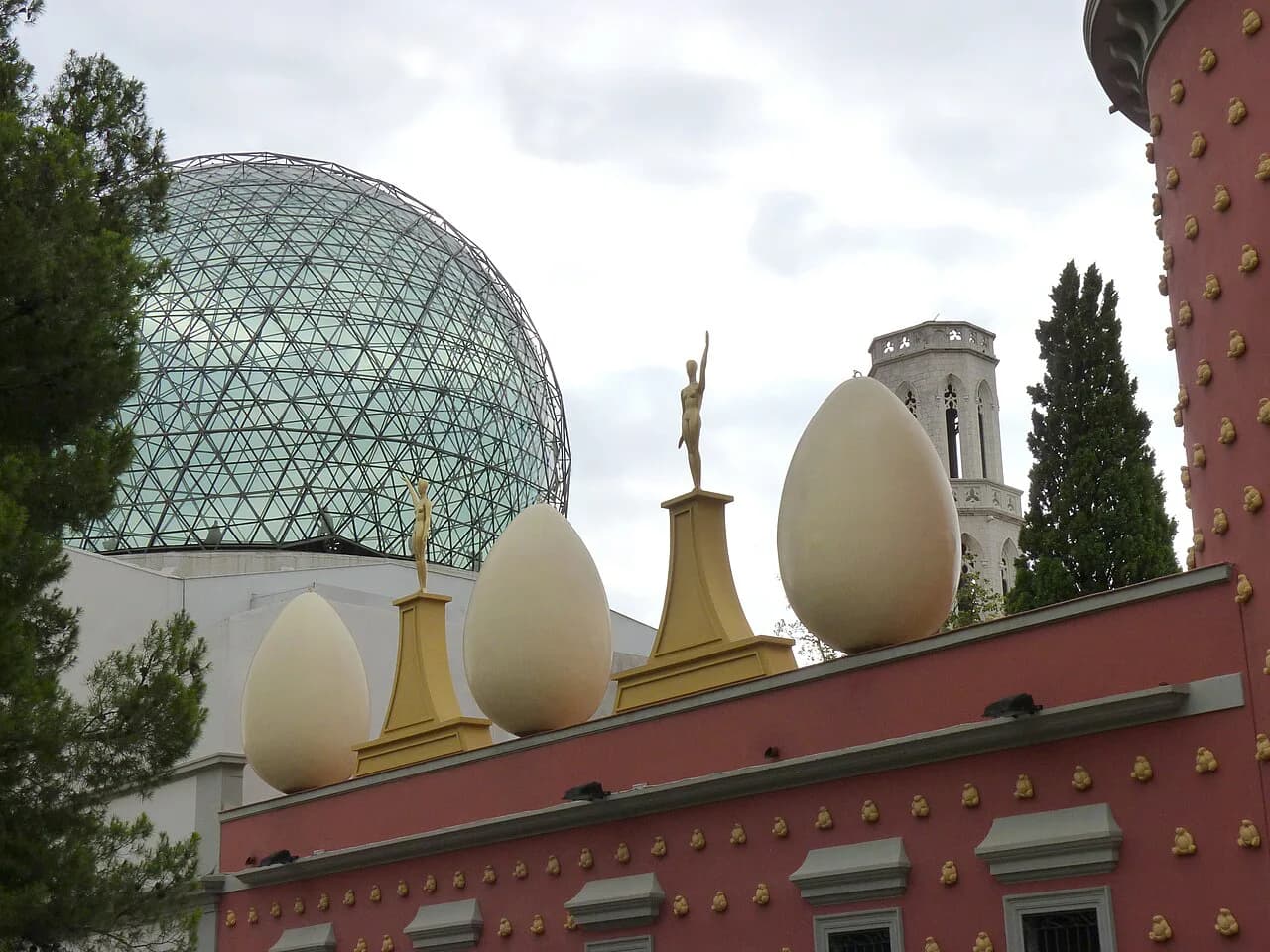
Several names on Girona guides are not old-town stops at all. Figueres, with the Dalí museum, Cadaqués on the coast, Calella de Palafrugell, Pals and Begur all need their own trip and their own transport, so mark them on a separate map rather than trying to fold them into a city walk.
Treat the Costa Brava places as a half-day or full-day addition once the old town is done. Fitting even one of them into the same day as the cathedral and the walls leaves you rushing the part of Girona the map is actually about.
Which corner of the map to do first
Begin at the river, cross at the iron bridge, and work upwards through the Call to the cathedral stairway. That order uses the geography instead of fighting it: the ninety steps come once, the walls come last, and the flat ground by the Onyar is waiting when you come down.
Everything else on a Girona map is either a cluster inside that loop or a separate trip. Decide which of the two you are adding before you leave the hotel, and the city stays walkable.
Explore more Girona guides
Frequently Asked Questions
Is Girona in Spain or Catalonia?
Girona is a city in Catalonia, in north-east Spain, capital of the province of the same name and about 60 kilometres from the French border. It was founded by the Romans more than two thousand years ago, and that past is still visible in the streets of the old town.
Is Girona worth a trip from Barcelona?
The AVE connects Barcelona and Girona in a little over half an hour, which makes it one of the easiest city days out from Barcelona. The compact old town means you can cover the Call, the cathedral and a stretch of the walls on foot in a single visit.
Where does the old town start on a map of Girona?
The old town begins on the east bank of the Onyar, immediately behind the row of painted houses. The Pont de les Peixateries Velles and the Pont de Sant Feliu are the two crossings that put you straight into the lanes.
Sources
Notes for your next Spanish town break
Optional updates to our guides.
You might also like
Continue reading
More guides you'll find useful