Málaga Map: The Old Centre, Monuments and Walking Routes
A Málaga map for visitors: how the old centre, the Alcazaba, Gibralfaro and the Picasso sights fit together, with walking times between them.
On this page
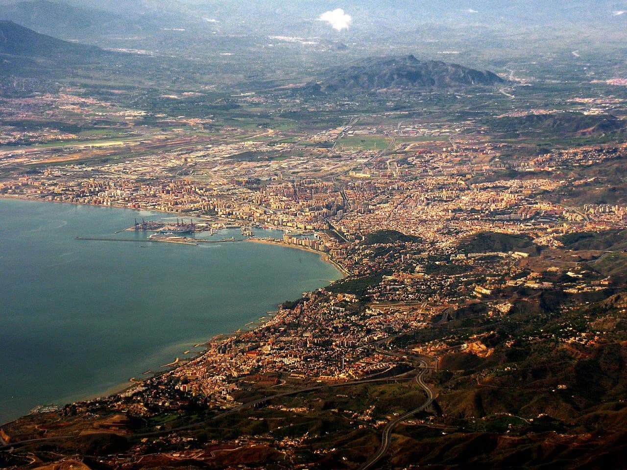
Central Málaga is compact enough to cross on foot: the historic core is pedestrianised, and most of the main monuments stand within 15 to 20 minutes of each other. Treat the port on one side and the Gibralfaro hill on the other as the two edges of your map, and the whole city reduces to a flat grid of streets with one climb attached. This guide lays the sights out by area and slope rather than alphabetically, so you can plan a loop that does not double back.
If you want the short version of the sights themselves, the things to do in Málaga guide covers each one in depth; what follows is the geography, the walking order and the figures you need at each door.
What a Málaga map actually shows
The Junta de Andalucía publishes a plano-guía of Málaga marking the monuments and places of interest on a single sheet, available in paper or electronic form. It is the most reliable starting point because it is drawn by the regional tourism authority rather than by a commercial operator. Download or collect it before you arrive and you have the street pattern settled.
On the ground, the centre divides cleanly. North of the port lies the flat old town, roughly bounded by the cathedral, the Alameda and Plaza de la Merced. South is the waterfront strip of the Paseo del Parque and Muelle Uno, and east rises the slope carrying the Teatro Romano, the Alcazaba and, above them, the Castillo de Gibralfaro.
The core zone: Plaza de la Merced, Calle Marqués de Larios and the cathedral quarter
Plaza de la Merced is the natural anchor for a first walk: the source map marks it as the site of Picasso's birth house, the house where he lived as a child and the spot where he made his first drawings, all within a few steps. From the square, the streets around Calle San Agustín carry the museums and galleries. Málaga Old Town has the full street-by-street detail if you want to plan a route through it.
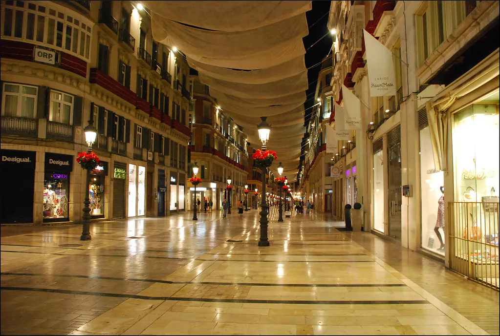
Calle Marqués de Larios runs from the Alameda into the commercial heart and is the spine most visitors use to orient themselves. Use it as a fixed line on your map: everything north of it is the historic core, and everything south runs down to the port.
The Roman and Moorish cluster: one slope, three monuments
The Teatro Romano, the Alcazaba and the Castillo de Gibralfaro sit on a single slope and should be walked as one continuous stretch rather than three separate outings. The Roman theatre, cut into the hillside at the foot of the Alcazaba, is the main surviving trace of Roman Malaca. Above it, the Islamic-era Alcazaba is a palace-fortress with gardens and walls overlooking the city, and a corridor once linked it to the hilltop castle. The things to do in Málaga guide covers the interiors in more detail.
Plan the climb in one direction only. Ascending from the theatre through the Alcazaba and on up to Gibralfaro takes you steadily uphill, so leave the descent for the way back and keep an hour or two clear for the slope alone.
The Picasso map: a second walking thread
Málaga's Picasso geography is plotted in detail: a dedicated street map marks his birth house on Plaza de la Merced, the Iglesia de Santiago where he was baptised, the school on Calle Comedias and the family addresses on Calle Hinestrosa and Calle Ancha del Carmen. Because these points sit inside the same small centre, they make a good second layer over your monument route rather than a separate day.
Walk the Picasso trail in the morning while the streets are quiet, then use the afternoon for interiors.
Cathedral of Málaga: entry prices, hours and roof visits
Málaga's cathedral, begun in the early sixteenth century on the site of the former main mosque, was never finished: the second tower is missing, which is why it is known as La Manquita. Standard cathedral entry is 8.00 EUR for adults, 5.00 EUR for visitors aged 13 to 17, 6.00 EUR for students aged 18 to 25 and 7.50 EUR for over-65s, with residents of Málaga and under-13s admitted free. The combined cathedral-and-roof ticket is 12.00 EUR for adults.
Opening hours run from 10:00 to 18:30 Monday to Friday, 10:00 to 18:00 on Saturdays and the eve of public holidays, and 14:00 to 18:00 on Sundays and Holy days of obligation. Roof ascents are timed rather than continuous, on the hour from 11:00 to 14:00 and again at 16:00, 17:00 and 18:00 Monday to Saturday, with Sunday ascents only at 16:00, 17:00 and 18:00. Because the Sunday morning is closed to visitors, place the cathedral on a weekday or an afternoon.
Teatro Romano: opening days and free entry
The Roman theatre is free to enter, which makes it the easiest monument in the city to slot into a walk at short notice. It opens Tuesday to Saturday and Sundays from 10:00 to 16:00, so a Monday visit means coming back on another day.
Pair it with the Alcazaba on the same morning: the theatre sits directly beneath the fortress entrance, and the two together take less time than the climb to Gibralfaro afterwards.
Museums by area
Málaga has more than 30 museums, and no sensible map tries to place them all. The selection worth marking on a short break includes the Museo Picasso Málaga in the streets near Calle San Agustín, the Centro de Arte Contemporáneo (CAC Málaga) by the river to the west, and the Museo de Málaga in the Palacio de la Aduana near the port. If museum interiors are your priority, the museums in Málaga guide covers the permanent collections.
Group them geographically rather than by theme: the Picasso and the cathedral quarter belong to one afternoon, while the CAC sits apart to the west and is best combined with a river walk rather than folded into the old-town loop.
The port edge: Muelle Uno, La Farola and the Paseo del Parque
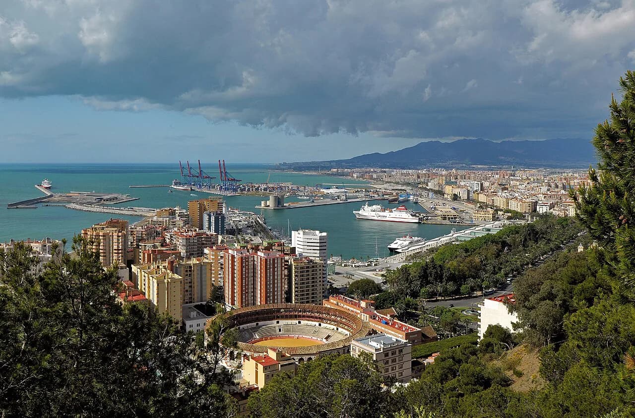
The waterfront gives your map its southern boundary. The Paseo del Parque runs between the old town and the harbour, and Muelle Uno extends the walk out into the port. Together they make a flat route back from the Gibralfaro side without retracing your morning's streets.
Picasso-era streets outside the core: Calle Ancha del Carmen and Barrio del Perchel
Two of the Picasso points fall outside the tightest loop: the family house on Calle Ancha del Carmen and the Barrio del Perchel, the neighbourhood the map lists among the family's connections. These sit west of the centre and reward a deliberate detour rather than a passing glance.
Fold them into a westward walk that finishes at the CAC rather than making a separate trip. If your time in the city is short, leave them out: the core Picasso points on Plaza de la Merced and around Santiago give the story without the extra distance.
Getting in from the airport: train, bus and taxi
Málaga airport (AGP) sits 8 to 10 kilometres from the centre, and all three main options are simple. The C1 Cercanías train runs direct to Málaga Centro-Alameda in about 12 minutes. The A Express bus goes to Paseo del Parque and Plaza de la Marina in 15 to 25 minutes, and a taxi takes 20 to 30 minutes depending on traffic.
For a short break, the train wins on predictability: it lands you at the western edge of the centre, a short walk from the Alameda and the old town. The bus drops you closer to the port and the Paseo del Parque, which suits anyone heading straight for Muelle Uno.
Getting around the centre on foot, by bus and metro, and where to park
Walking is the default inside the historic core, where the streets are pedestrianised and a car is a liability. City buses and the Málaga metro cover the longer distances, and the metro is the practical way to reach the western districts rather than driving. Central car parks serve the centre if you arrive by car, though you will barely use it once parked.
A car makes sense only if you plan to combine the city with the Axarquía villages, Antequera or Ronda. Otherwise, leave it at the accommodation and use the C1 and your feet.
Which sights cluster into one morning and which need the hill
The flat old town fits into one morning: Plaza de la Merced, the Picasso addresses, Calle San Agustín, the cathedral quarter and the Picasso Museum sit within a continuous walk. Add the Teatro Romano and the Alcazaba if you start early, but keep the Gibralfaro climb for a separate stretch, because the ascent from the Alcazaba to the castle is the only genuinely uphill part of the day.
Use the waterfront for the return leg: from Gibralfaro, descend towards the Paseo del Parque and walk back along the port rather than dropping straight into the shopping streets. A Málaga walking tour can fix the order for you if you would rather not plan it yourself.
Build your Málaga route around the slope
Draw two lines on your map before you arrive: the flat loop through Plaza de la Merced, Calle Marqués de Larios and the cathedral, and the single climb from the Teatro Romano through the Alcazaba to Gibralfaro. Everything else, from the Picasso addresses to the port edge, attaches to one of those two. Check the current cathedral hours and the theatre's Monday closure before you fix the order, and the rest of the city will arrange itself around your feet.
Explore more Málaga guides
Sources
Notes for your next Spanish town break
Optional updates to our guides.
You might also like
Continue reading
More guides you'll find useful